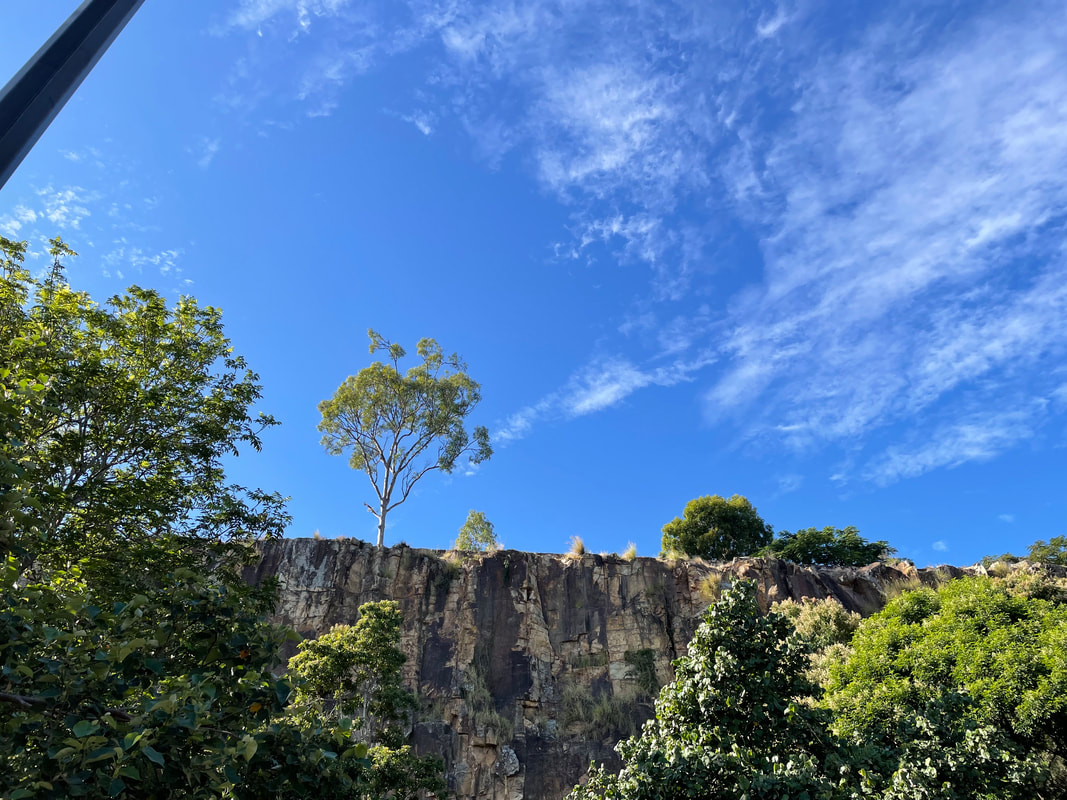
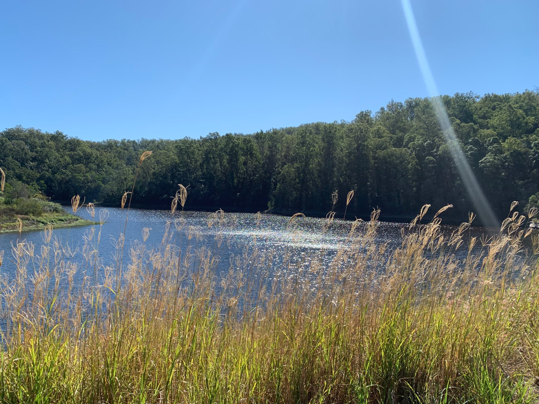
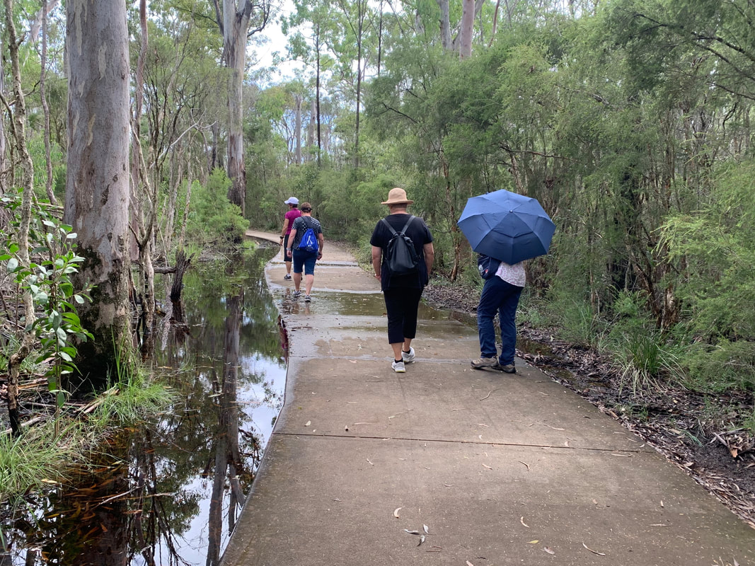
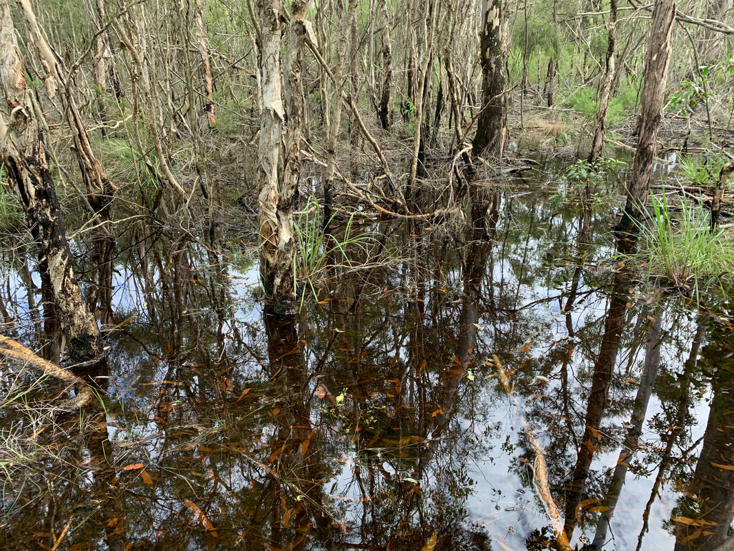
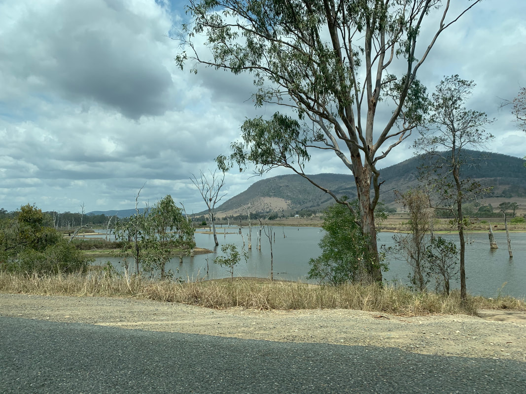
Carnarvon Gorge is around 30 kilometres long, located in Carnarvon National Park, about 1,000 kms by road north west of Brisbane. Millions and millions of years have been taken to create this masterpiece of breathtaking beauty, which I feel very privileged to have finally visited.
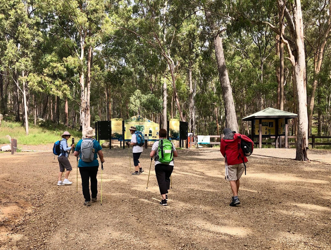
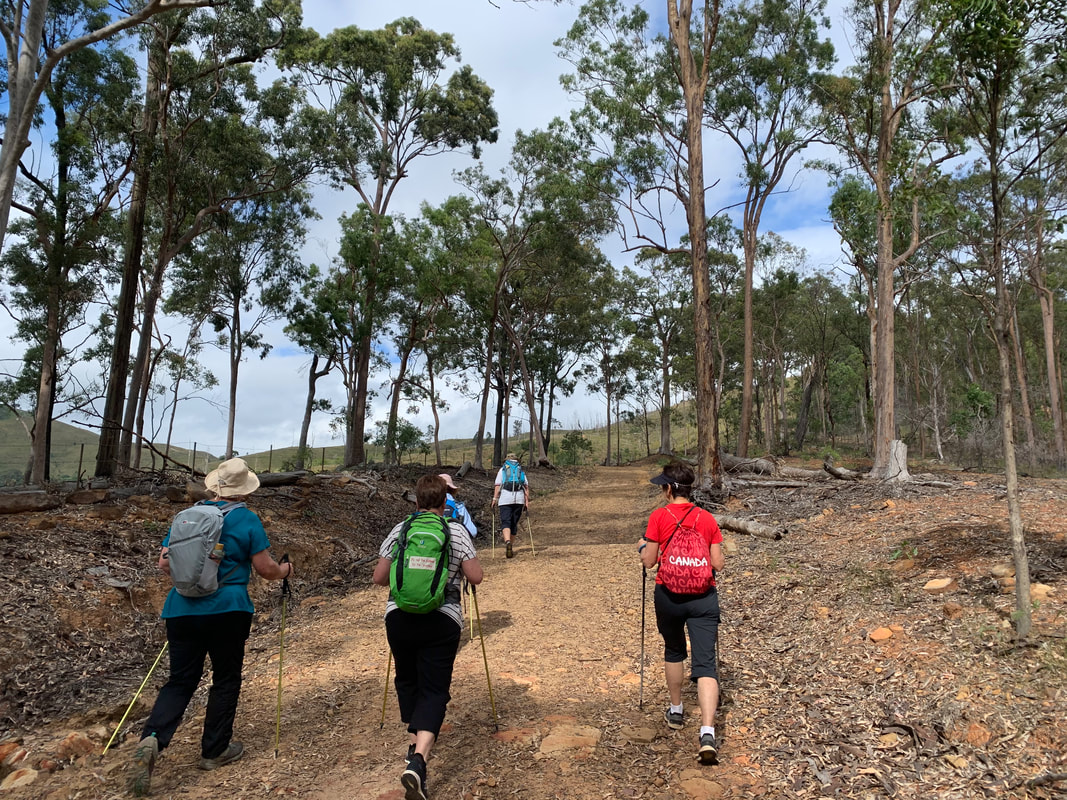
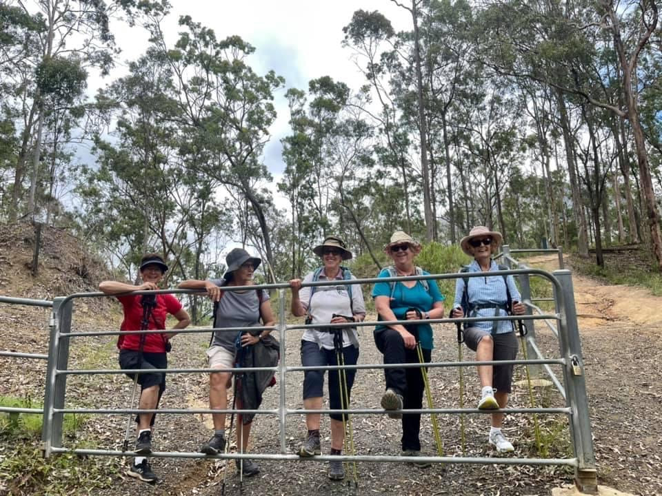
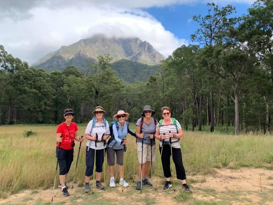
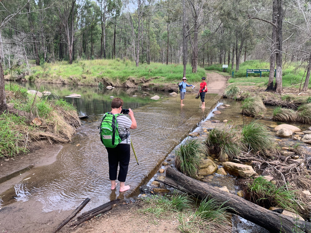
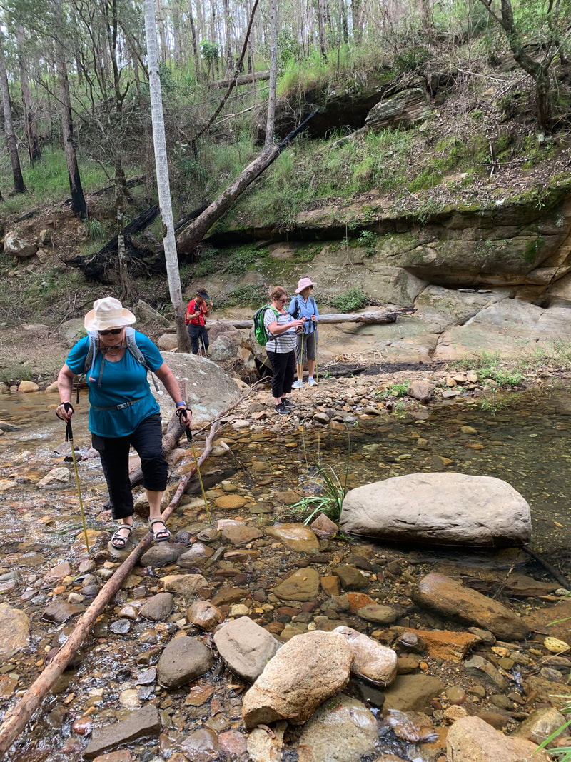
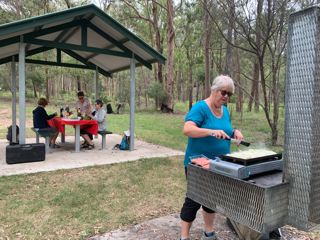
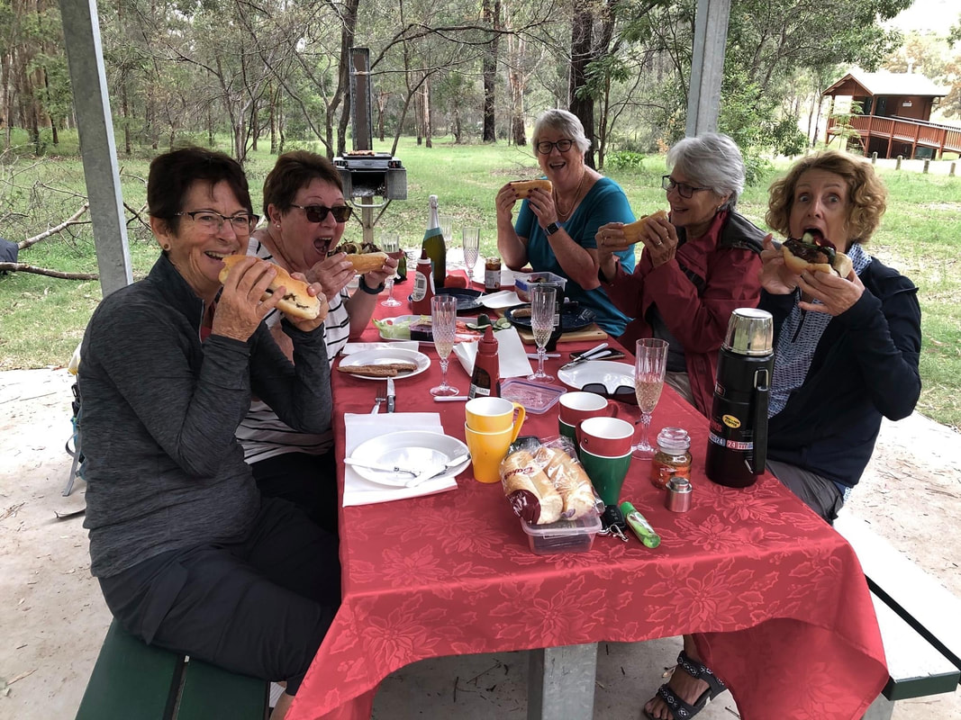
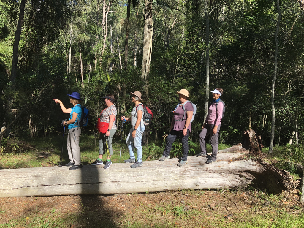
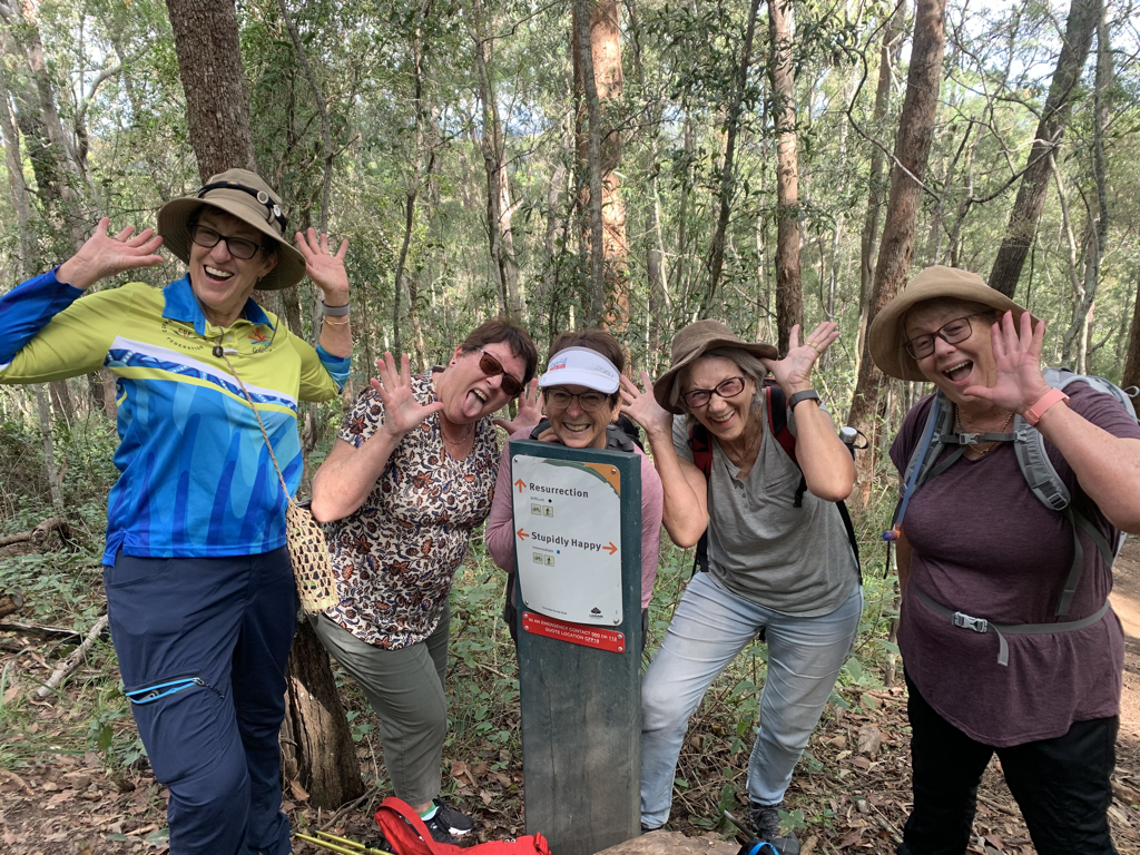
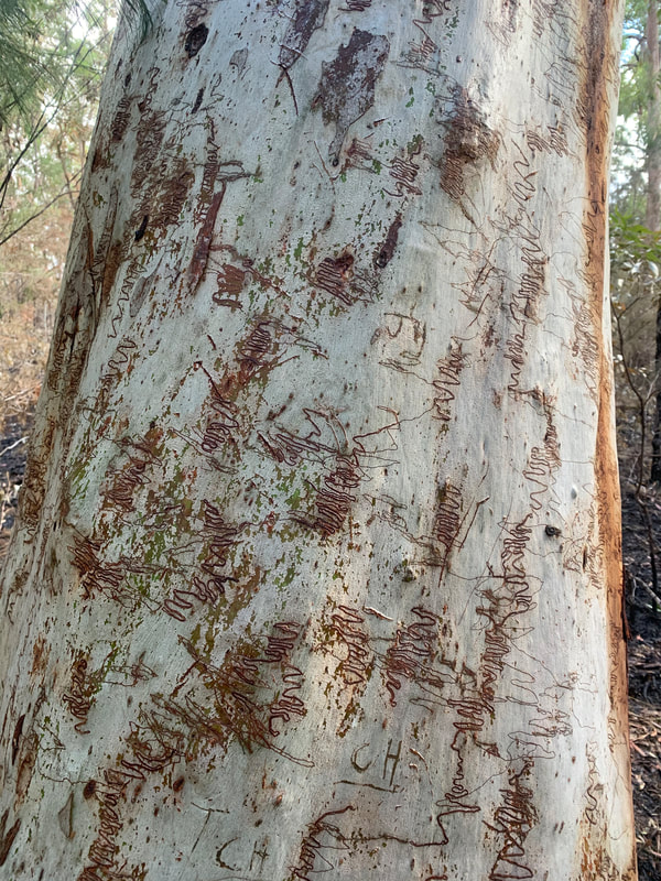
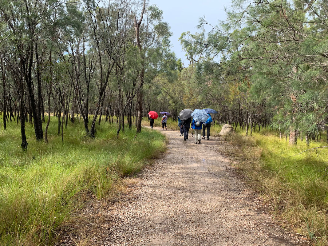
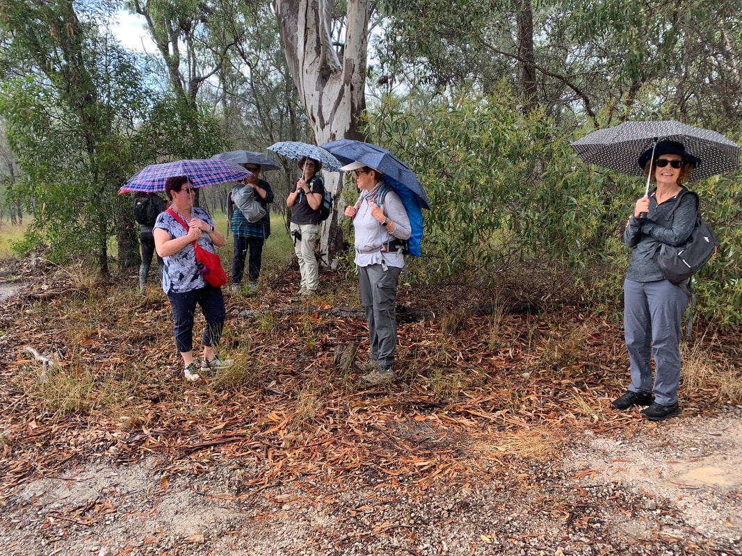
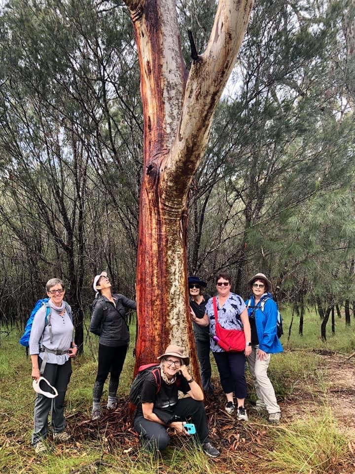
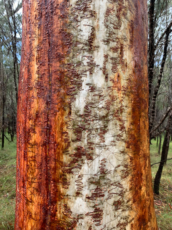
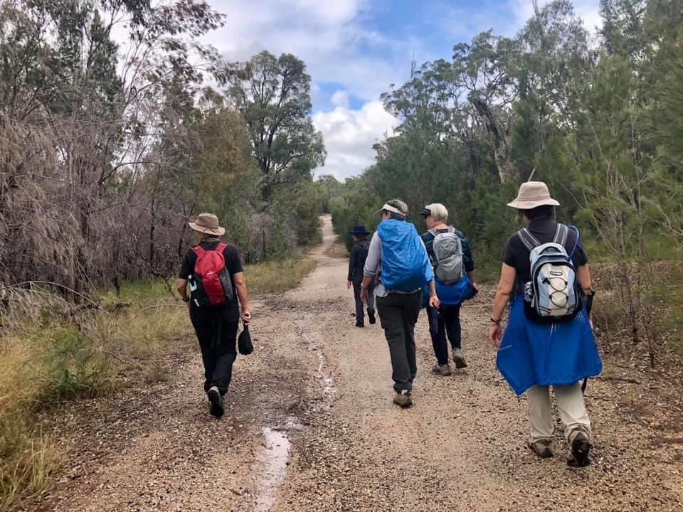
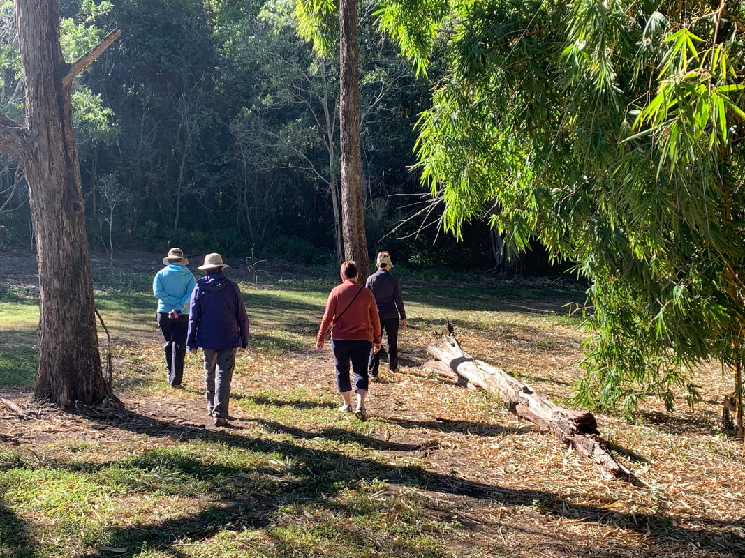
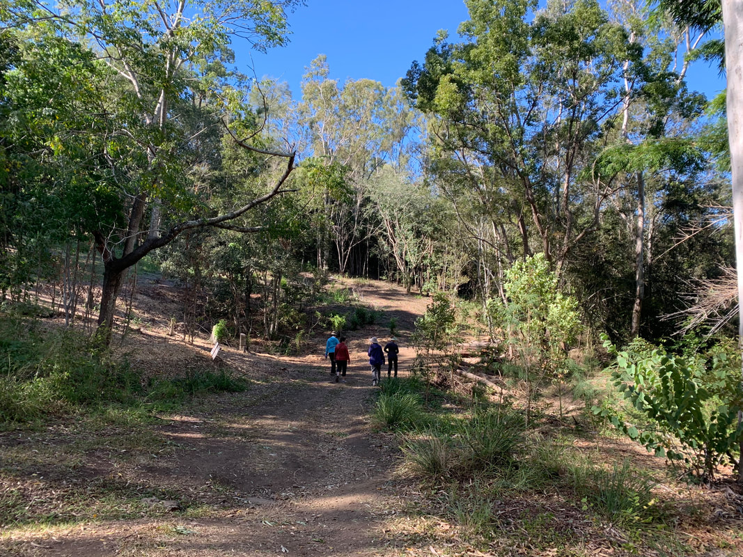
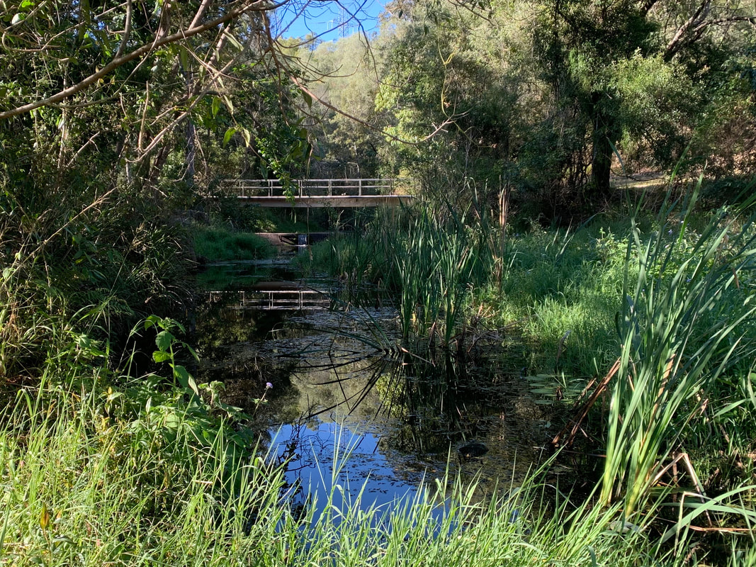
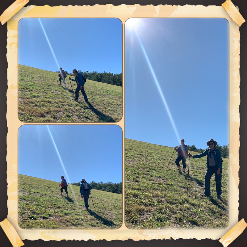
I spent 4 days walking tracks that gave me access to Indigenous cultural sites,, narrow sandstone canyons, extensive sandstone cliff lines, basalt-capped tablelands and mountain ranges, and relict rainforest vegetation. Click here to read about my walking adventures at Carnarvon in more detail.
I spent 4 days walking tracks that gave me access to Indigenous cultural sites,, narrow sandstone canyons, extensive sandstone cliff lines, basalt-capped tablelands and mountain ranges, and relict rainforest vegetation. Click here to read about my walking adventures at Carnarvon in more detail.
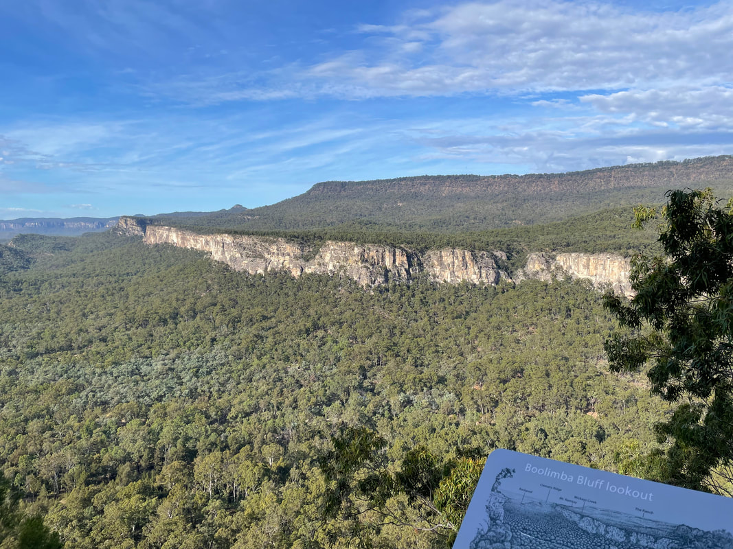
View of the gorge from Boolimba Bluff.


 RSS Feed
