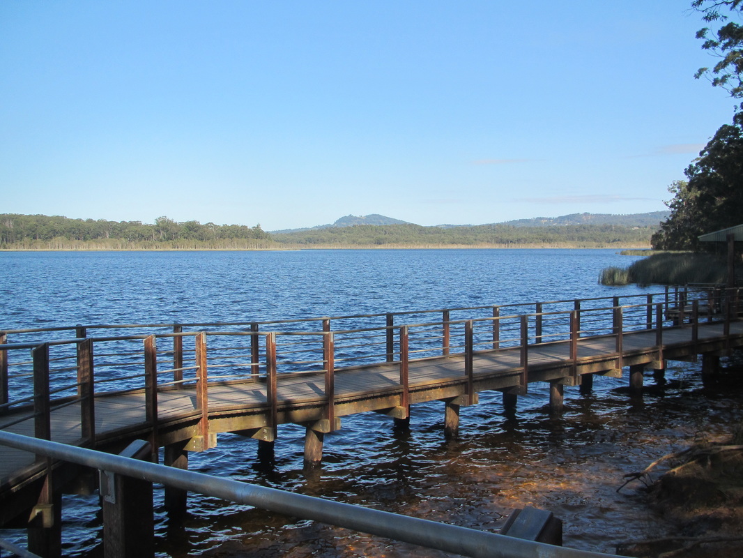
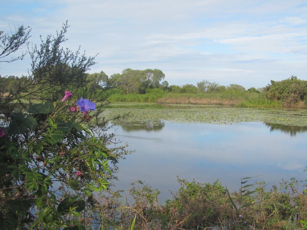
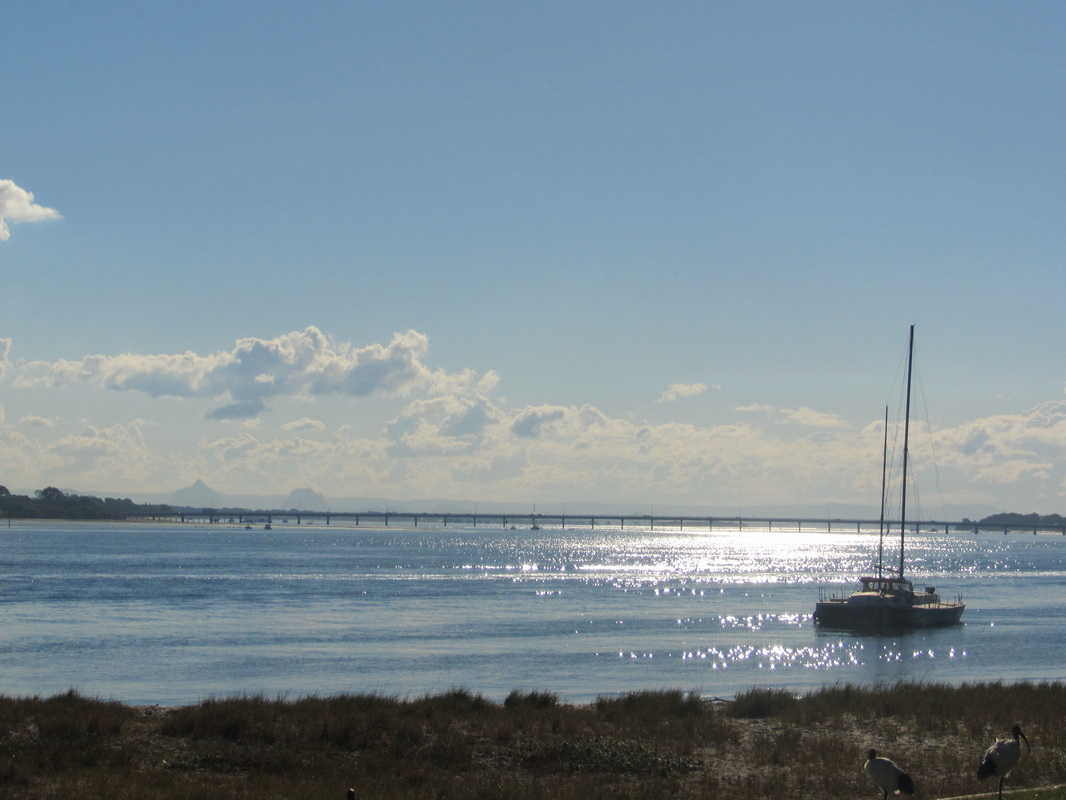
 Ready, set ... | 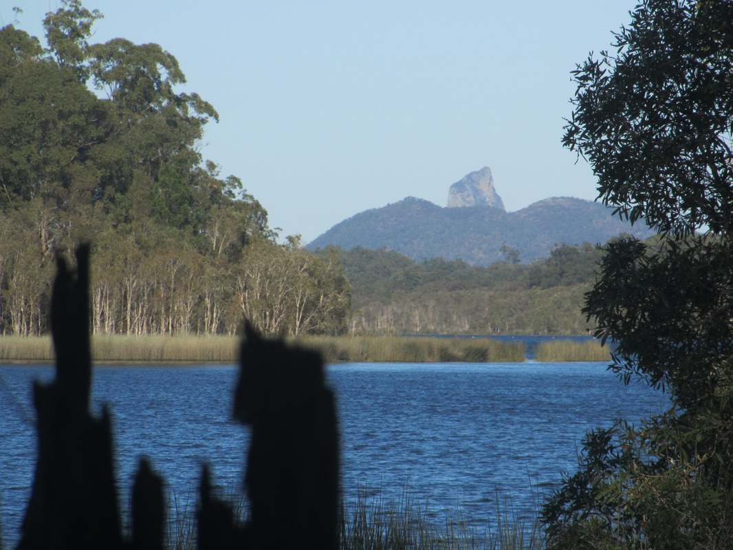 Mt Tibrogargan looms on the other side of the lake. |
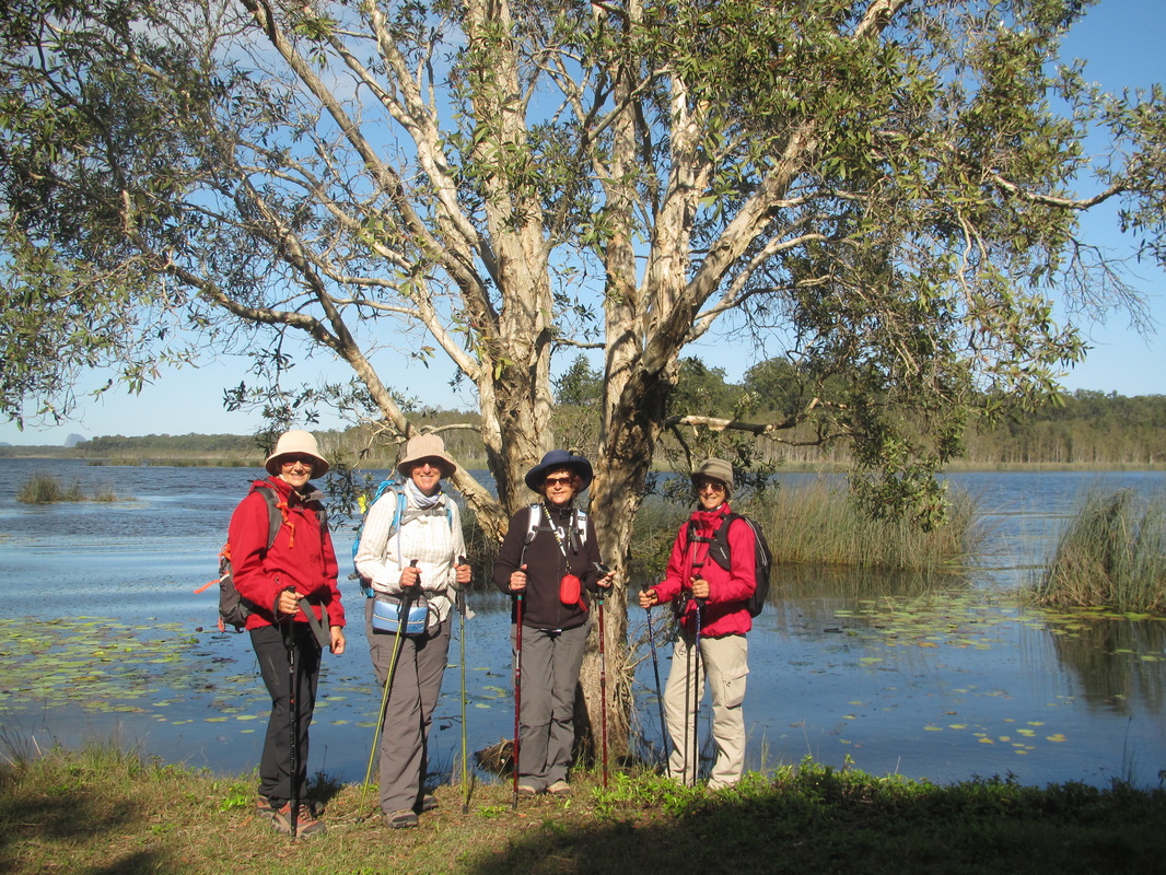
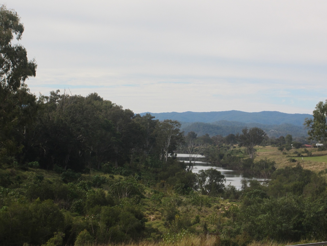
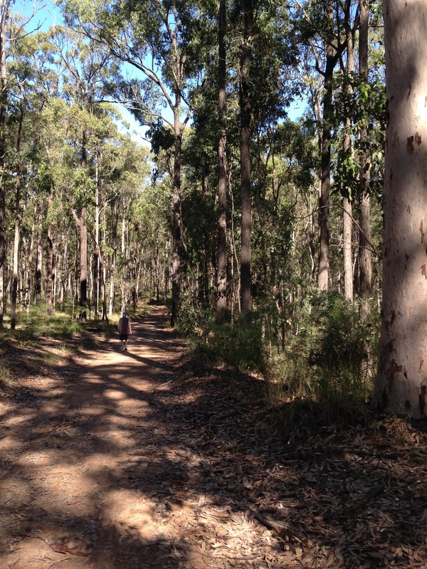
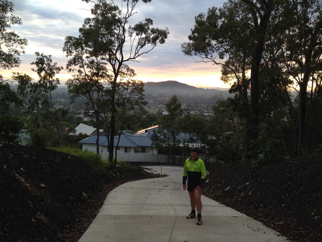
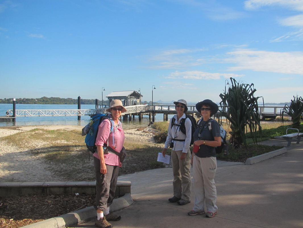
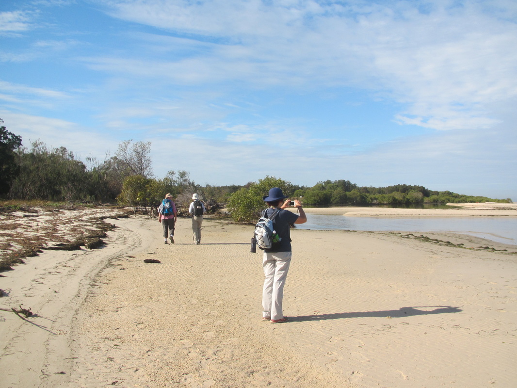
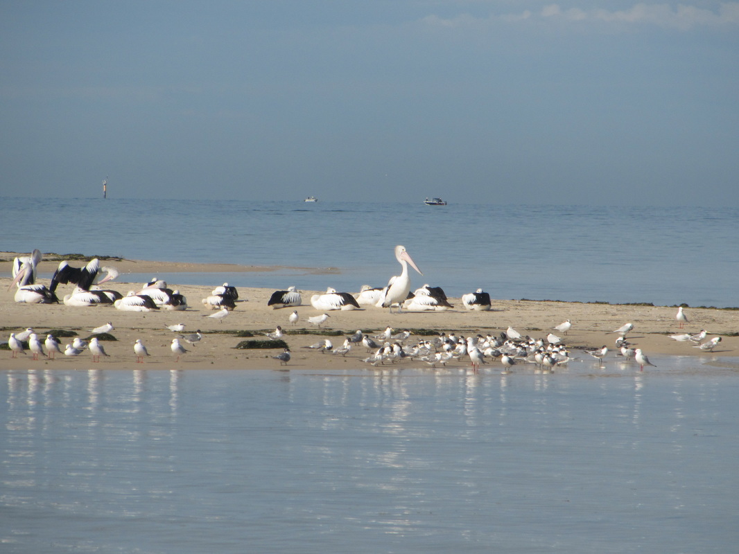
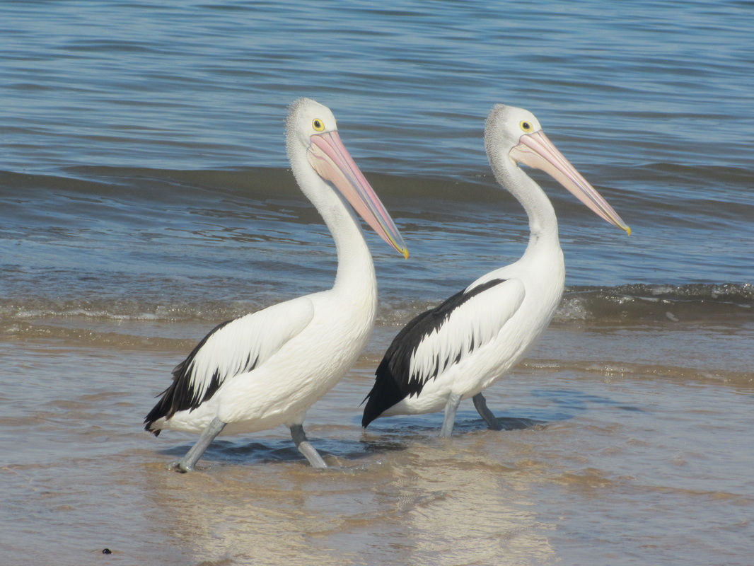
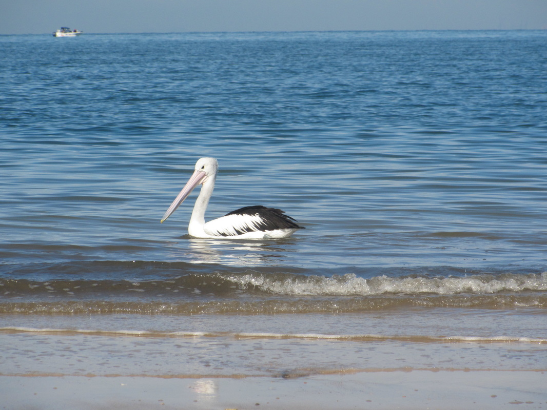
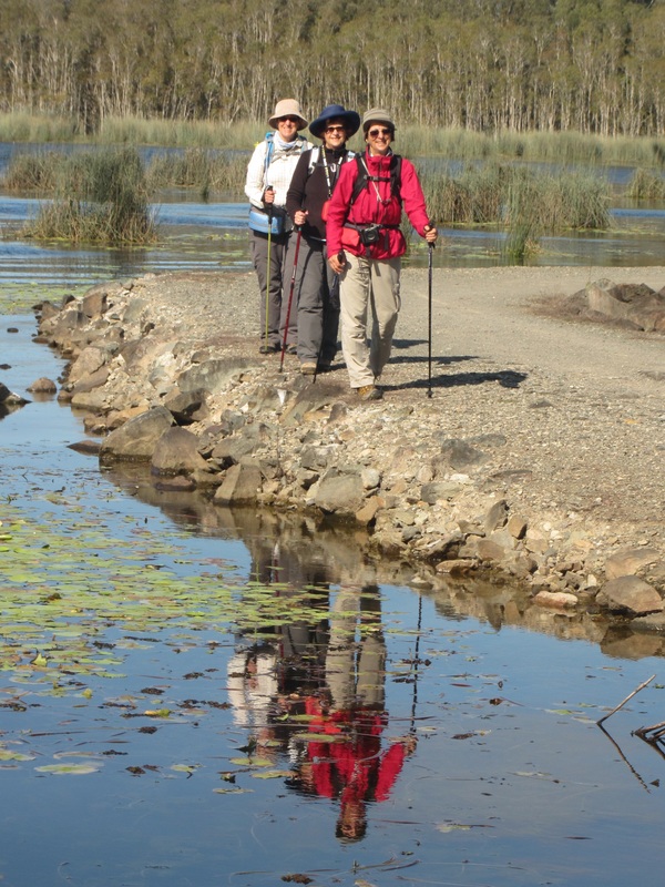 ... go. | This week we headed north to the Sunshine Coast hinterland to walk trails around the Ewen Maddock Dam and the Dularcha National Park Rail Trail between Mooloolah and Landsborough. For the first time in many weeks all five of our merry group were together and we set off early in high spirits. It was a little chilly to start, with a brisk breeze blowing across the water, but a hot coffee and delicious muffin provided the warmth and sustenance we needed. Our last two walks began with views of the Glasshouse Mountains and today was no different. Mount Tibrogargan loomed across the other side of the dam, which was named after Ewen Maddock, an early European settler and local pioneer. We skirted the lake, following easy paths, enjoying the lush greenery, the tranquil waters full of reflections and bird life, and the beautiful blue sky above. The winter weather turned on magnificent sunshine and the crisp air nipped at our heels, helping to set us off at a brisk pace. |

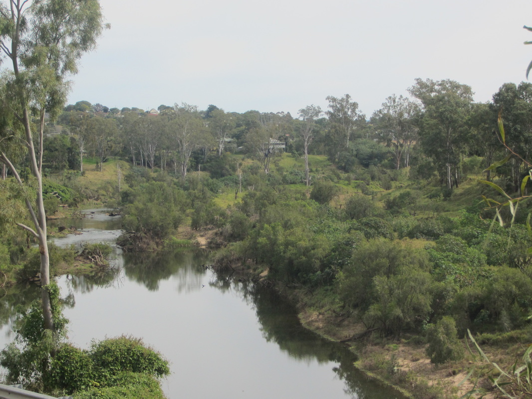
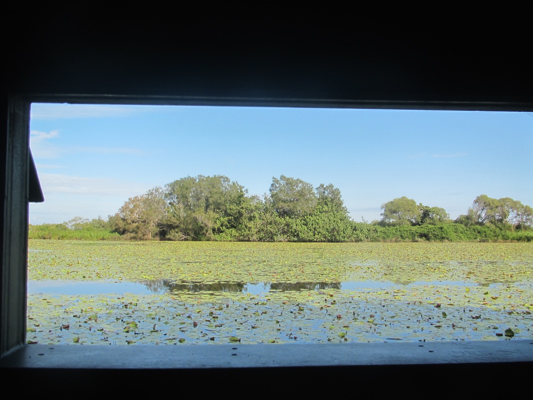
Reflections in still waters.

 |  |
 To the left, a sea of blue. | 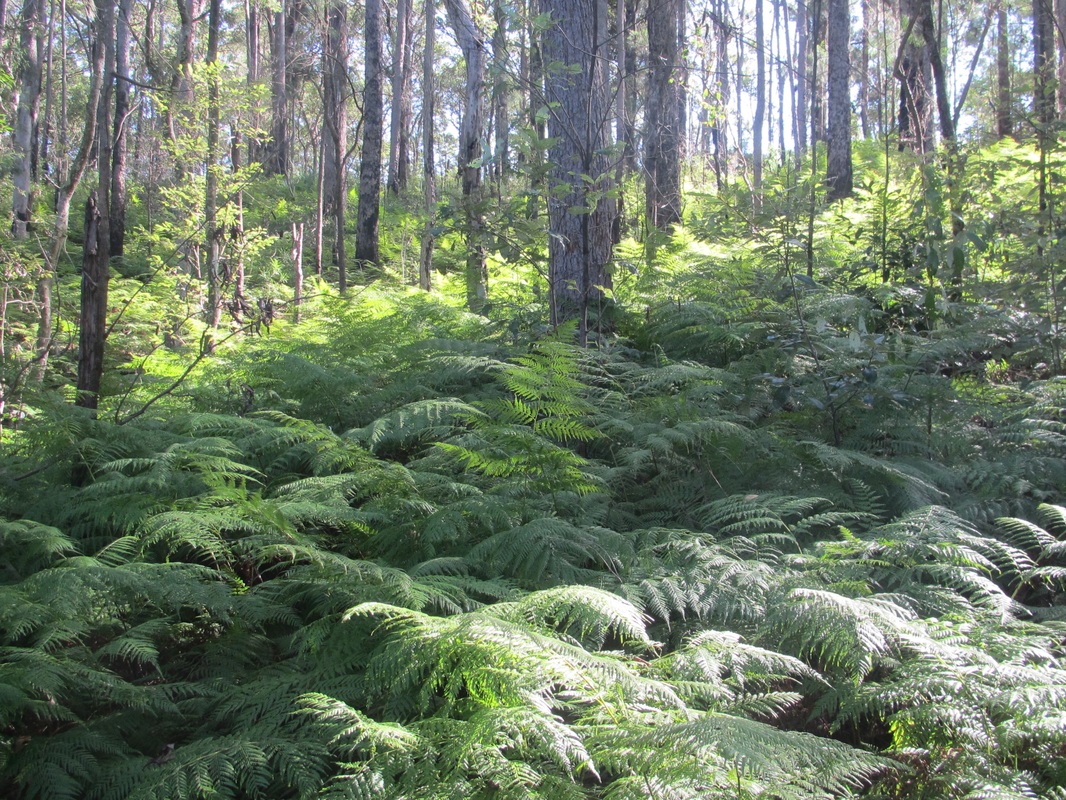 To the right, a sea of green. |
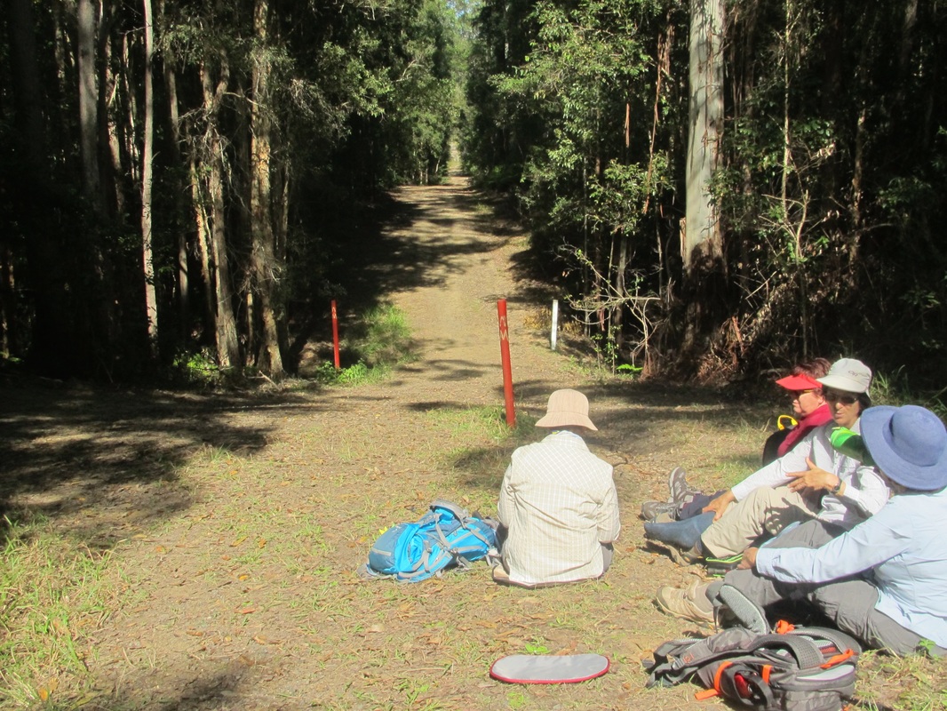
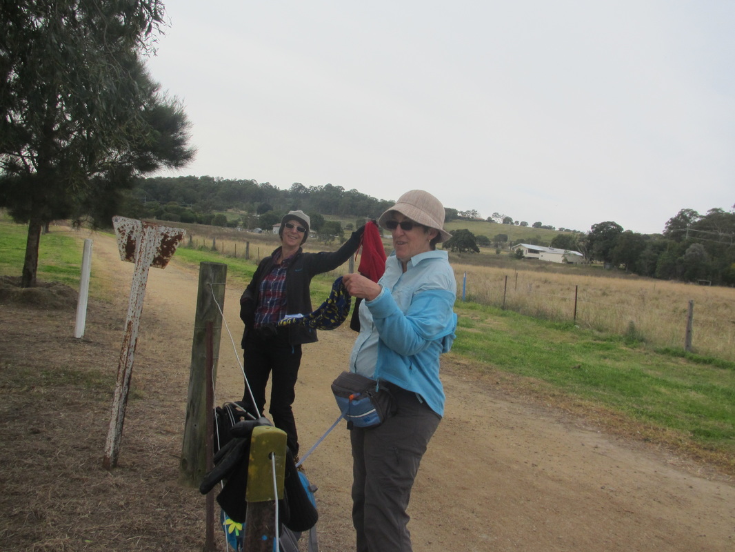
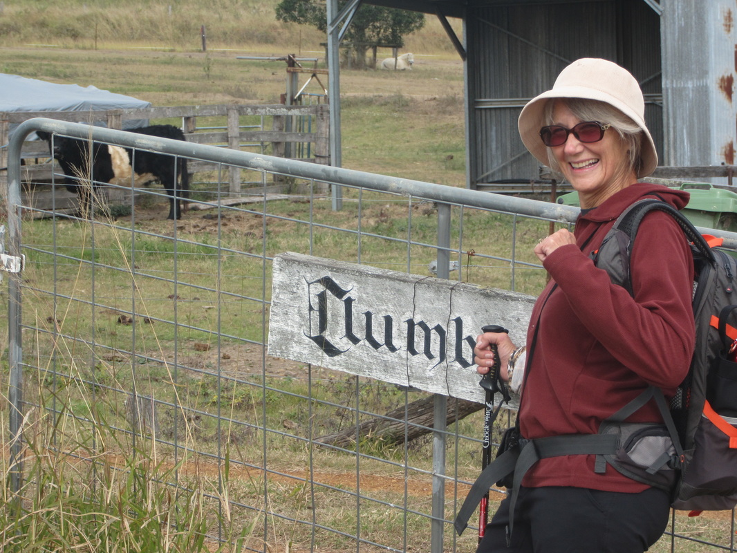
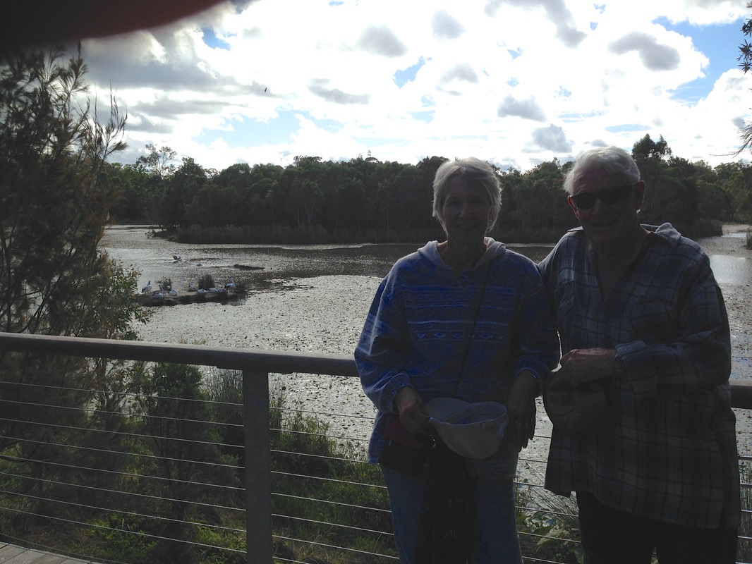
Time for a short break.
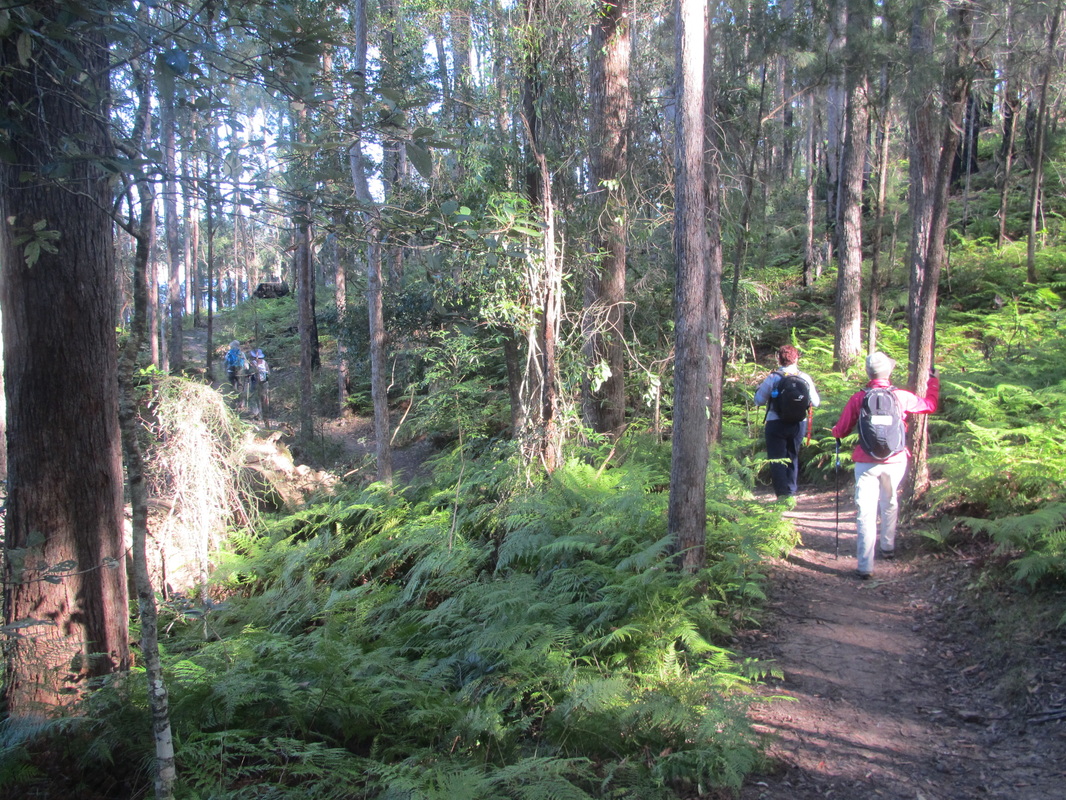
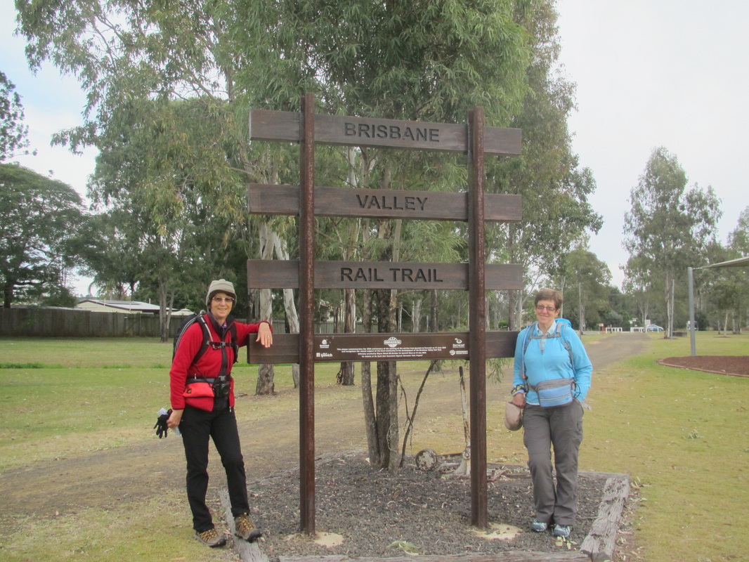
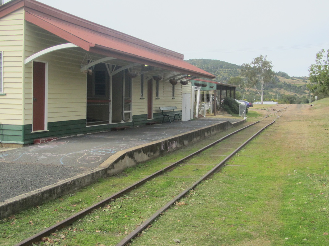
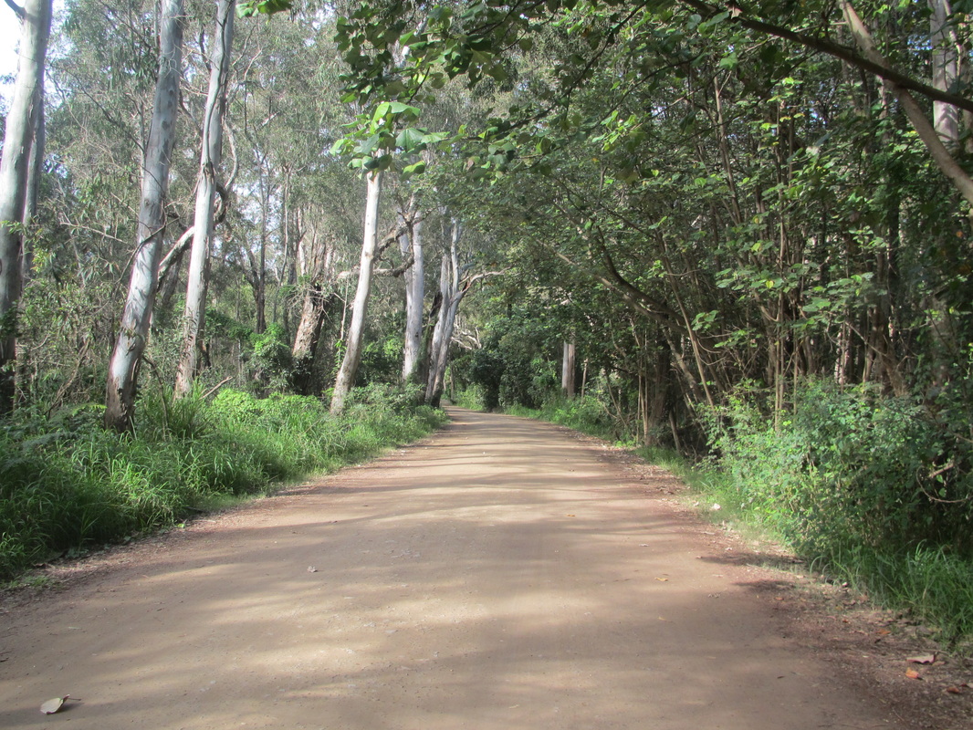
We drove the short distance back to Mooloolah where we lunched in the park before tackling the rail trail that leads to Landsborough.
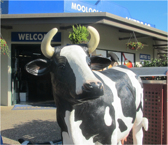
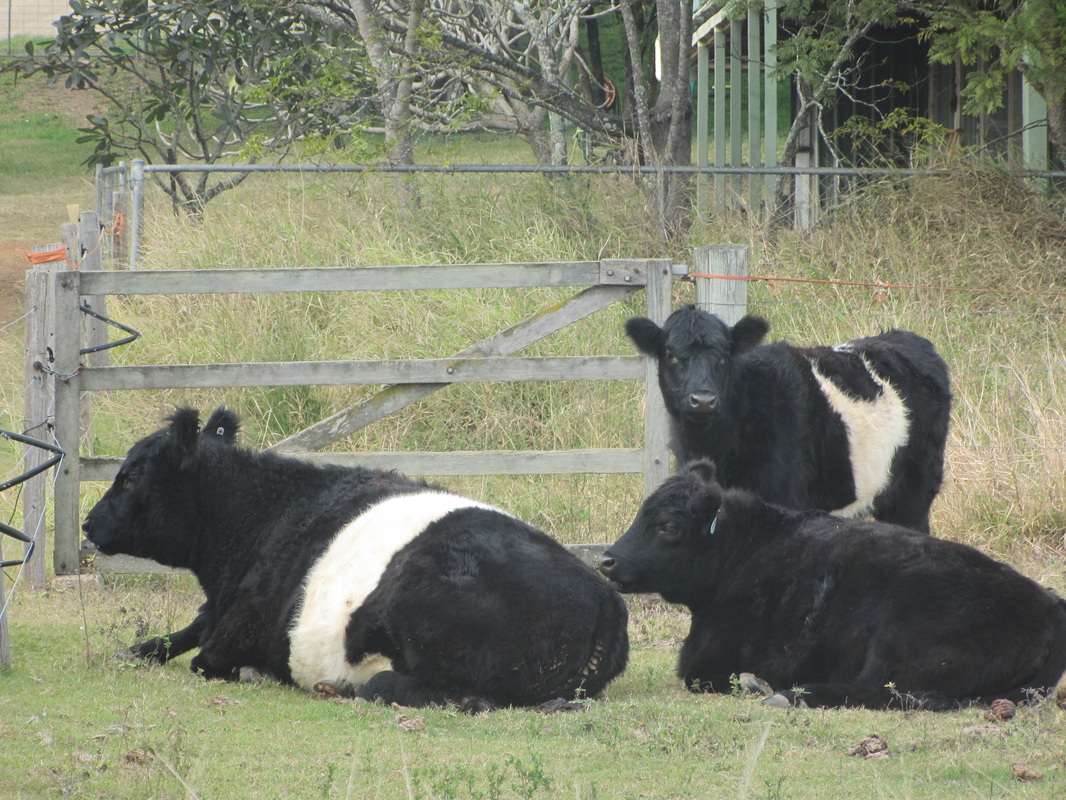
This gal helps put the moo in Mooloolah. And that's no bull!
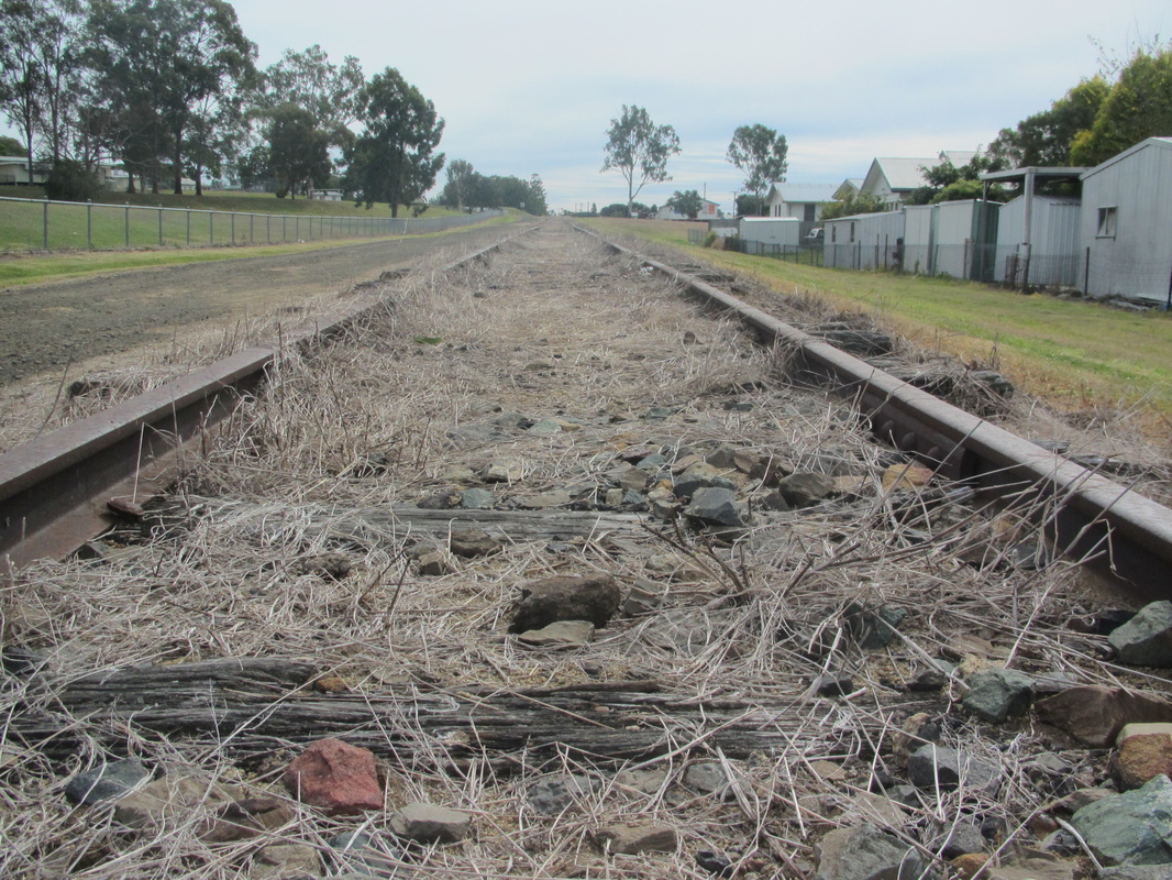
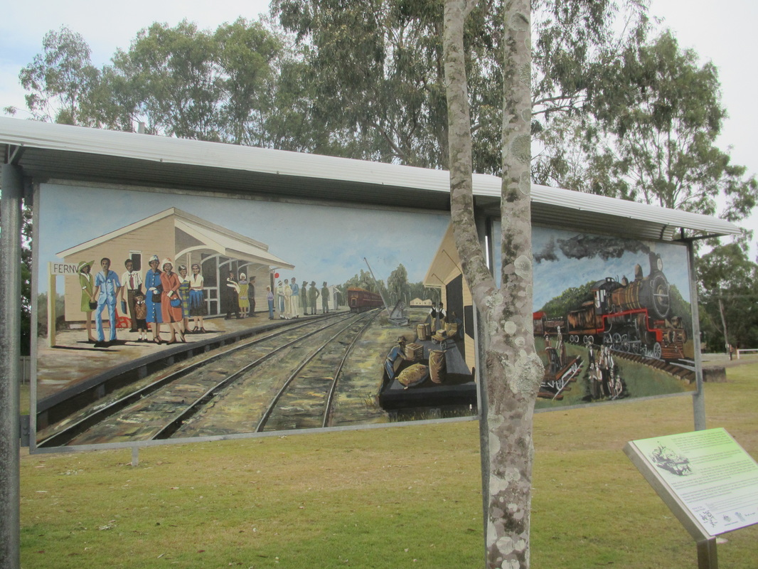
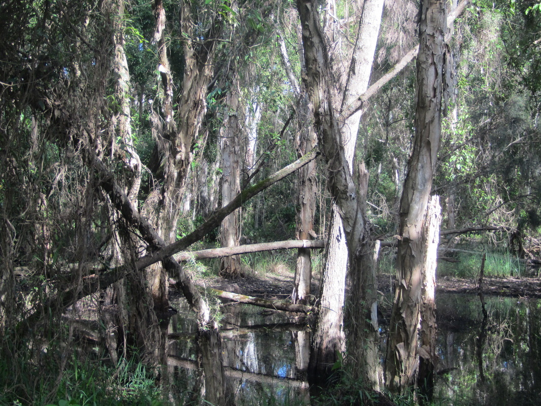
The highlight of this part of our walk was the old disused rail tunnel that provides a dark and suitably protected site for seasonal roosting by a variety of small bats. Built in 1891, it is one of only two tunnels built along the old North Coast Line between Brisbane and Gympie. It ceased to be used in 1932 when the railway line move a little to the east. Luckily for us the bats were not about today.
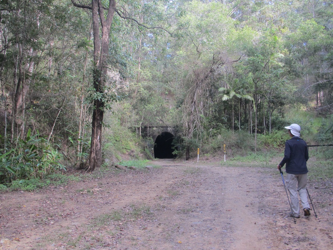 The tunnel in the distance. | 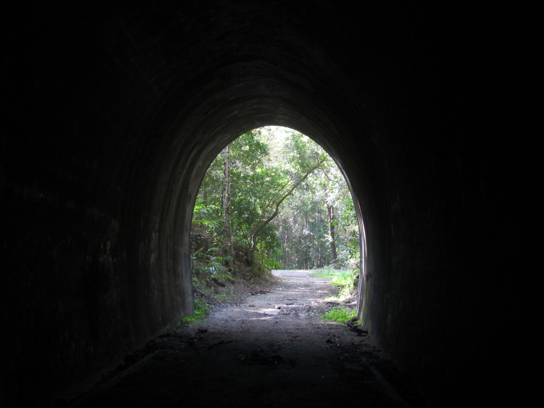 The light at the end of the tunnel. |
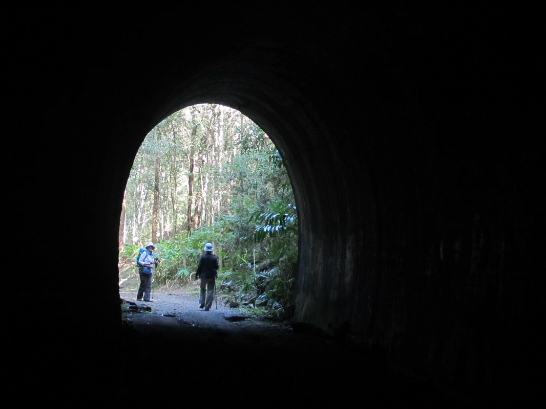
Made it!
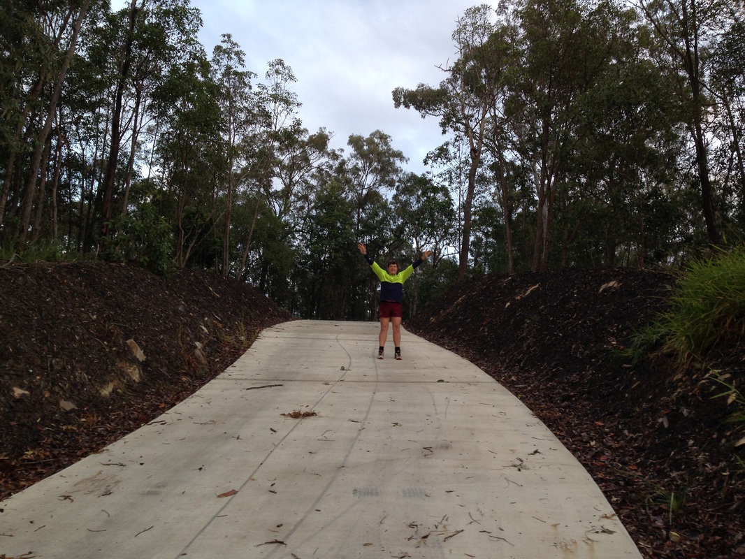
We completed a respectable 17 kilometres today, once again enjoying more variety of interesting trails in our beautiful part of the world.

 RSS Feed
