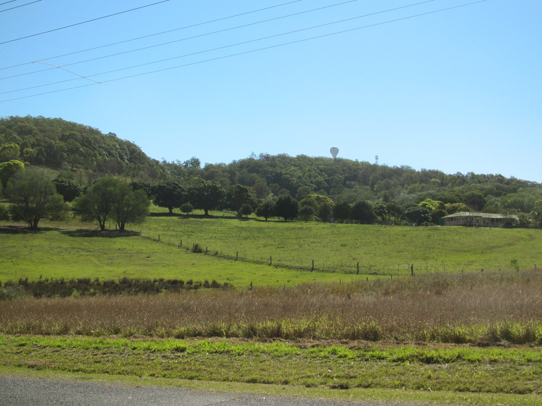
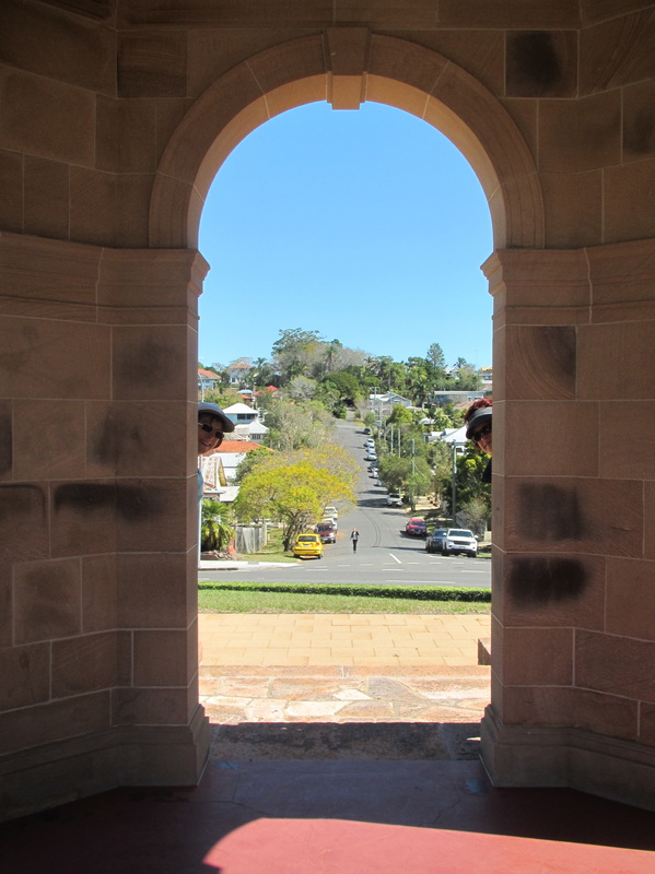
Mt Stapylton radar tower
The plan this week was to ramble around close to home and explore the countryside around Alberton and Stapleton, with a hill climb up to the Mt Stapylton weather radar tower. The radar is located on an isolated hill about 150m above sea level, just east of Beenleigh. Our house overlooks a golf course and the radar, which looks like a giant golf ball sitting on a tee, can be seen from our patio. The radar site provides good low-level coverage, ideal for Doppler observations, of the Greater Brisbane area. However, it is not accessible to hikers, so we turned away from the locked gate and spent the day on the lowlands instead.
| 
|
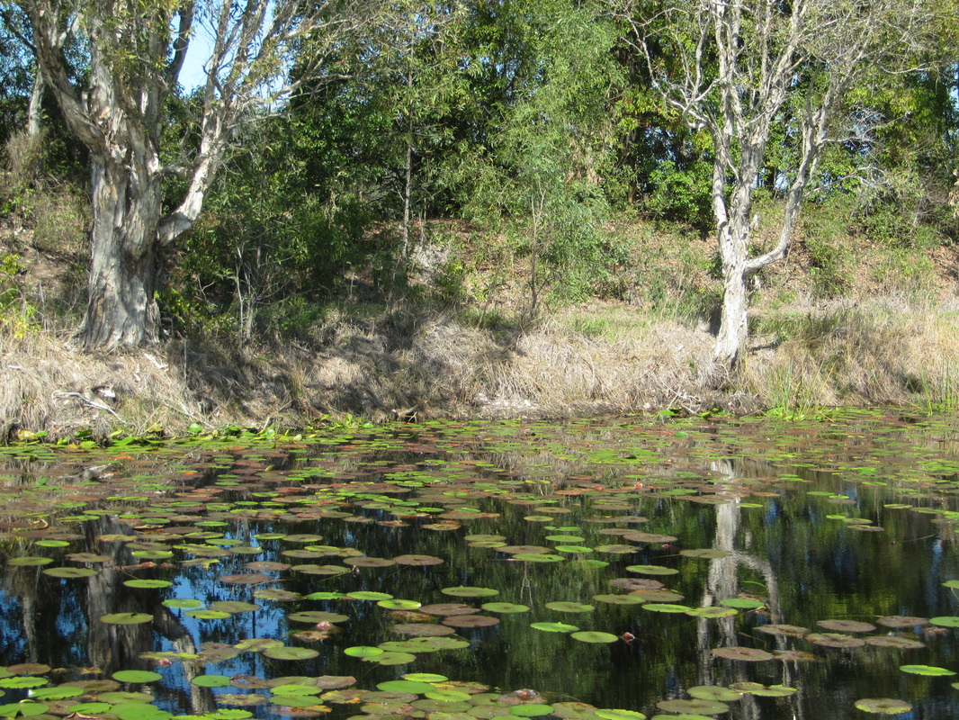
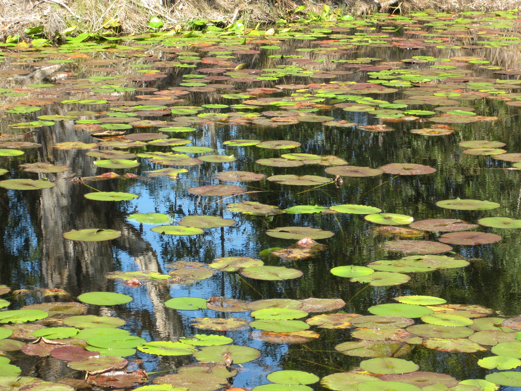
Staplyton was named after surveyor Granville William Chetwynd Stapylton (1800–1840). The area is partly bordered by the Albert River and we enjoyed the peaceful country feel this brought to the setting.
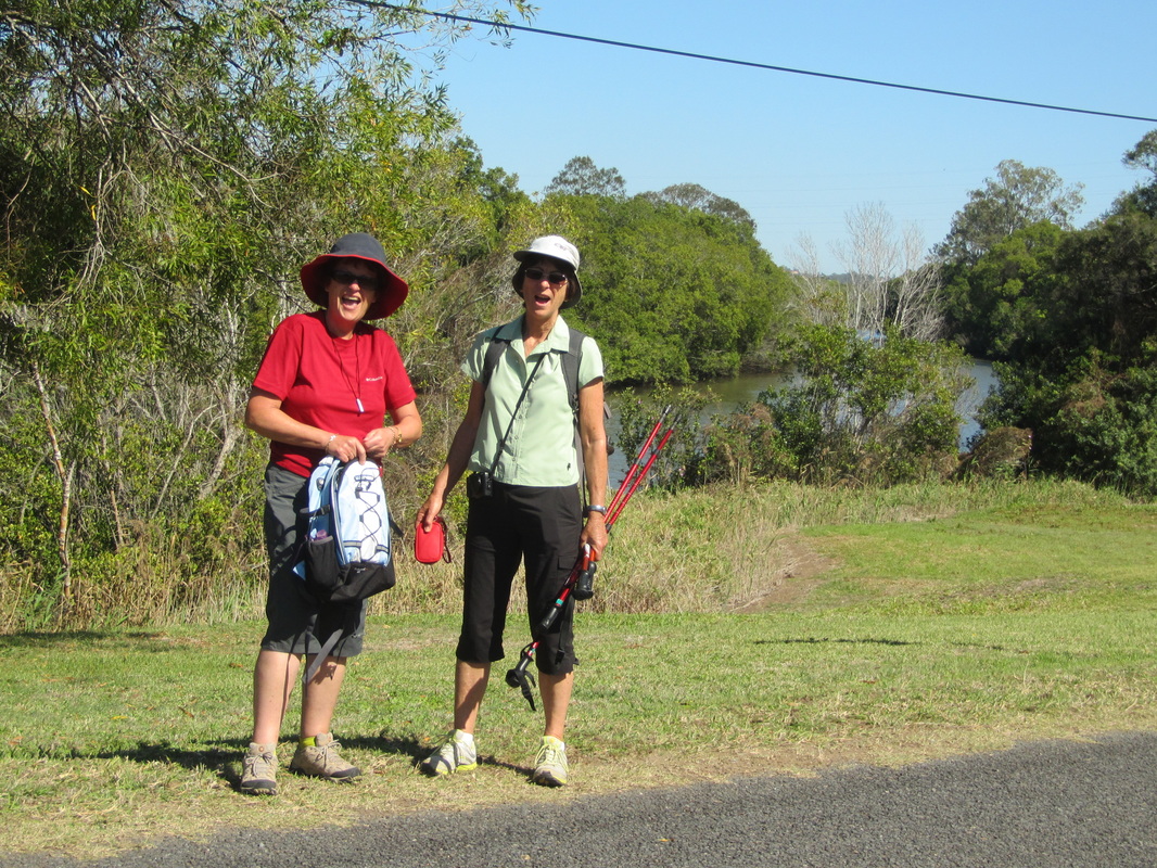
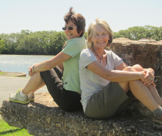
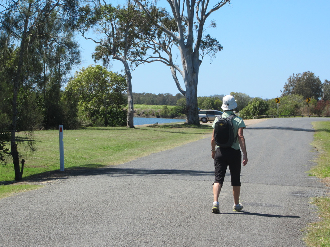
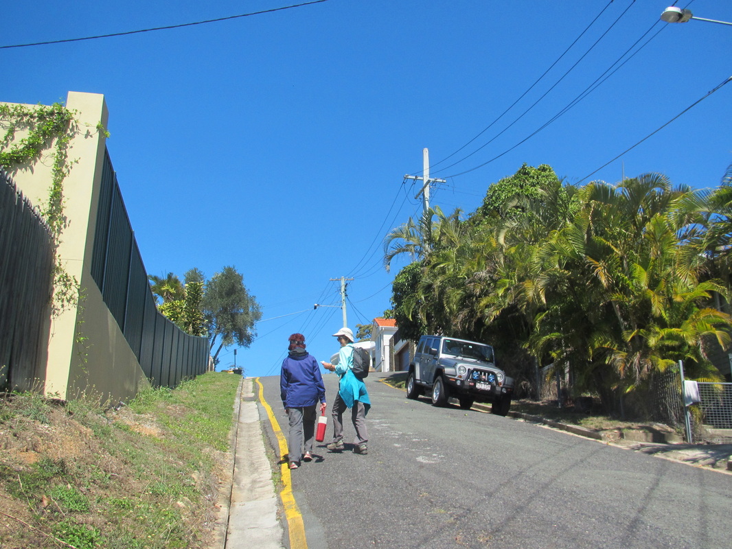
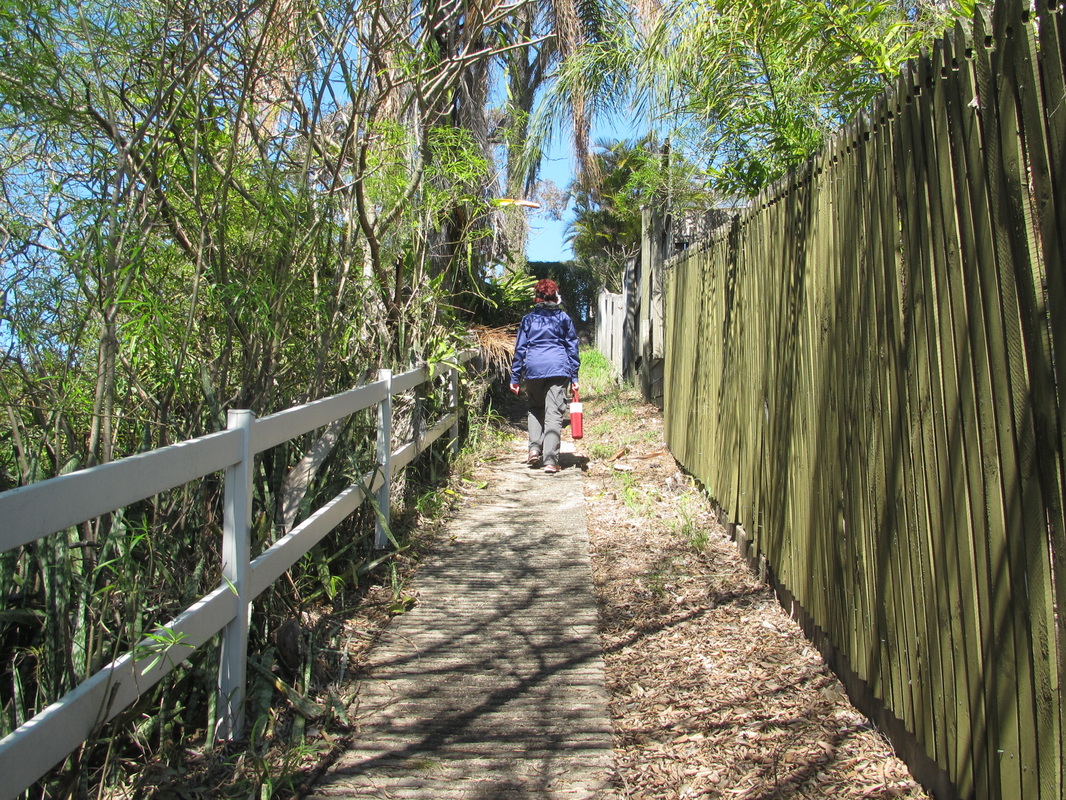
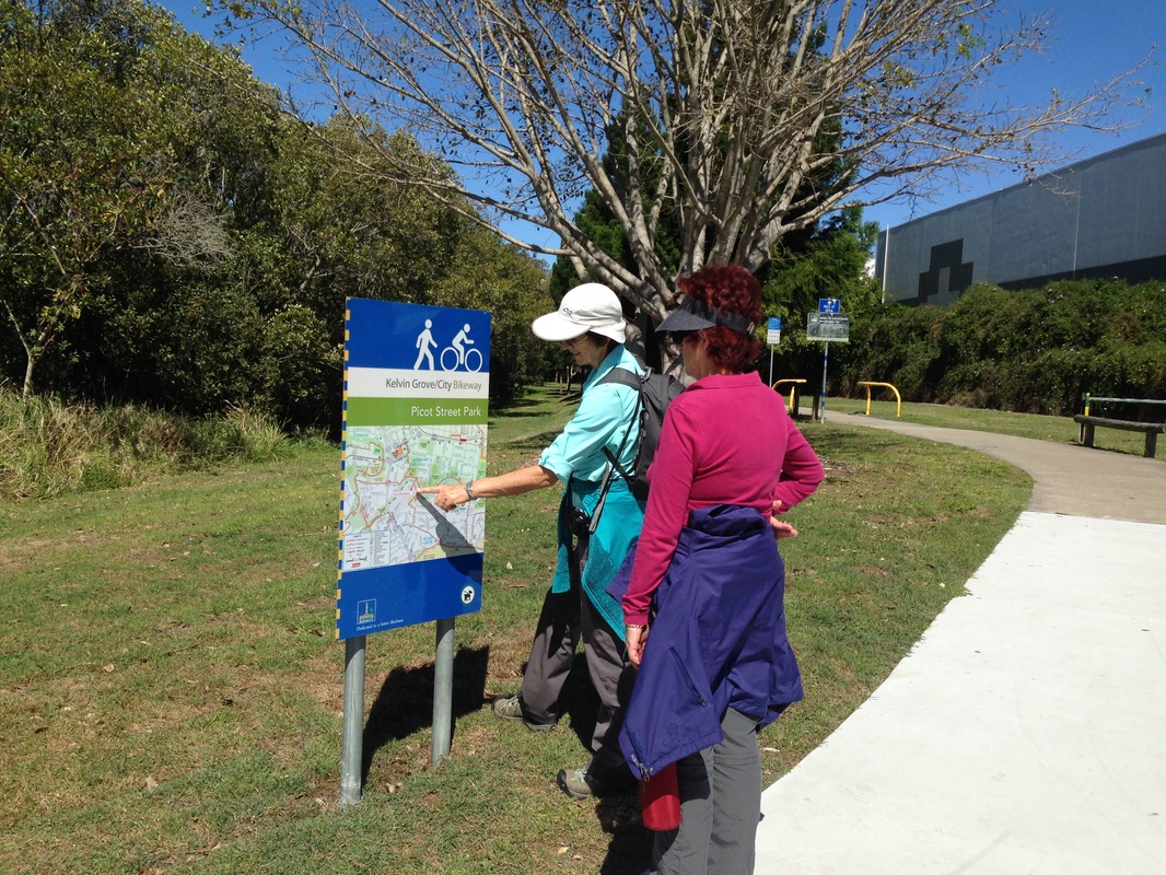
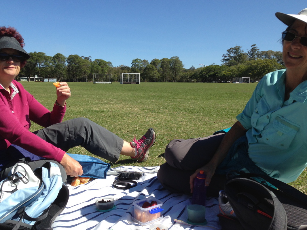
Jenny and Helen prepared for the hill climb which didn't eventuate.
| 
Albert River - named after Prince Albert, Queen Victoria's hisband
|
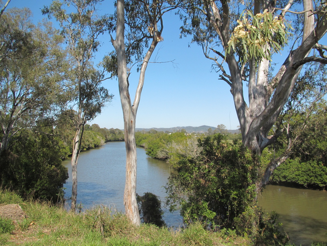
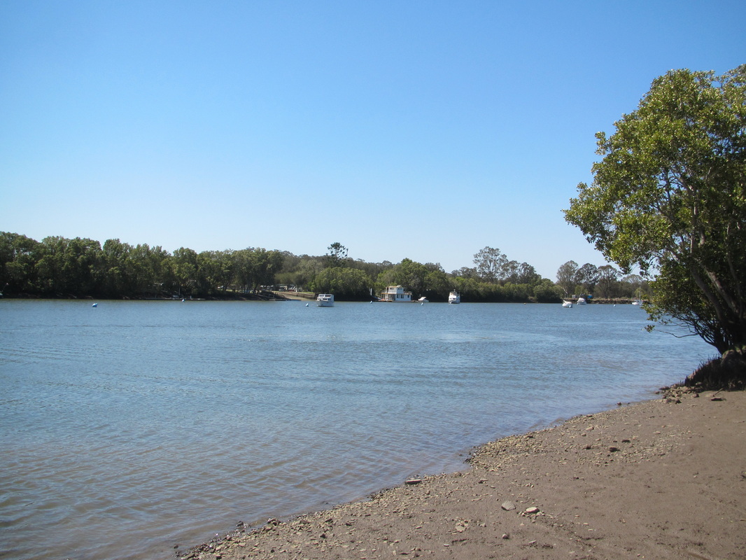
We chose a delightful spot for morning tea where the Albert River joins the Logan River, about 12 kilometres from the mouth where it enters Moreton Bay.
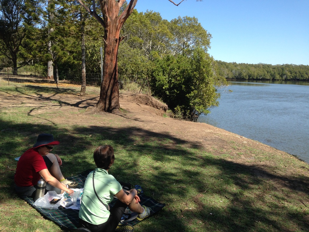
Morning tea picnic
| 
The Albert and Logan meet.
|
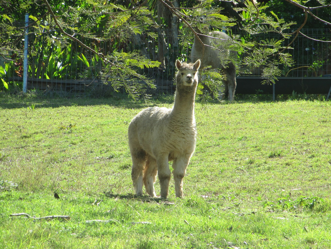
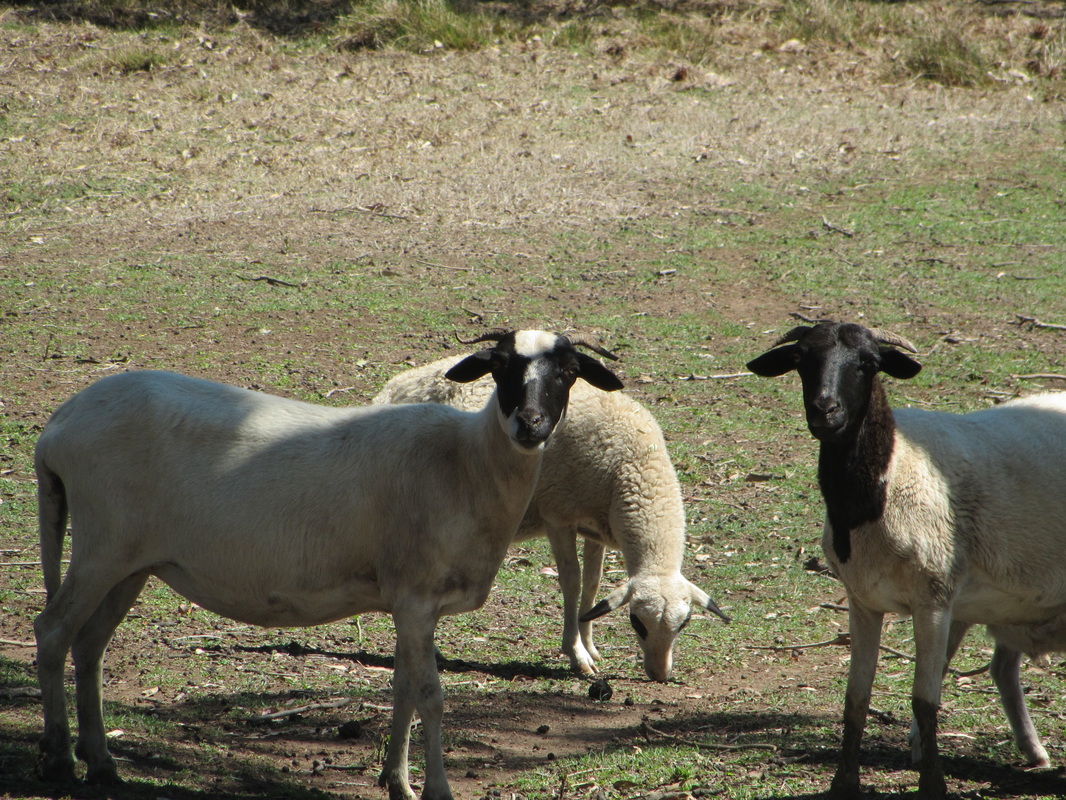
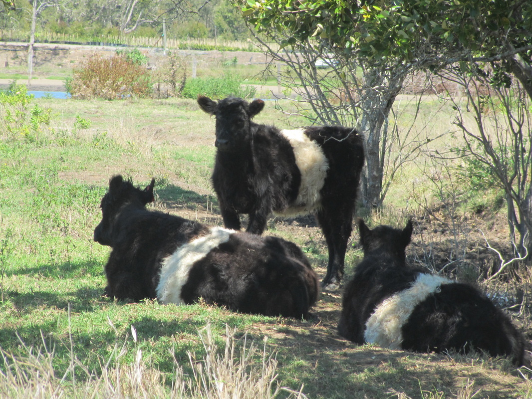
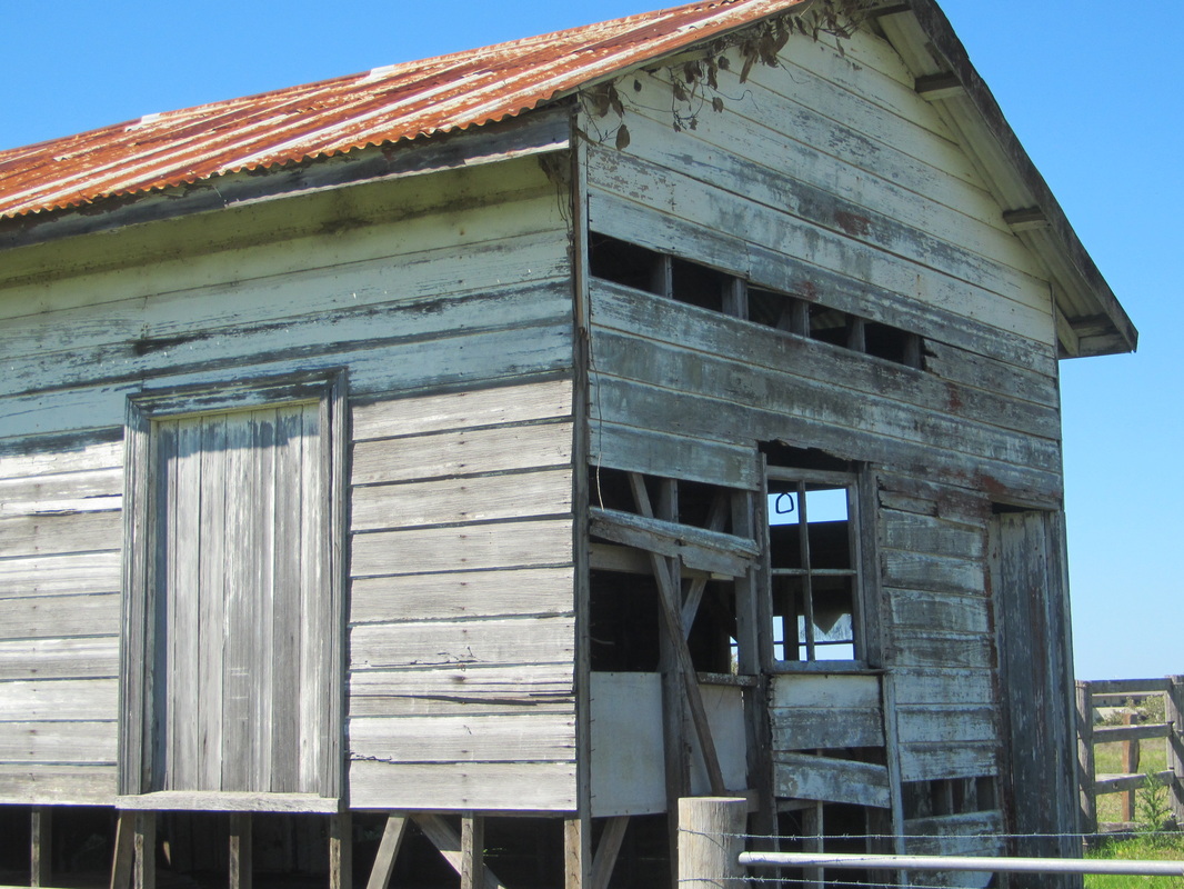
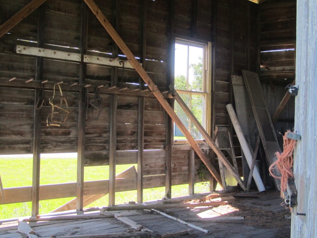
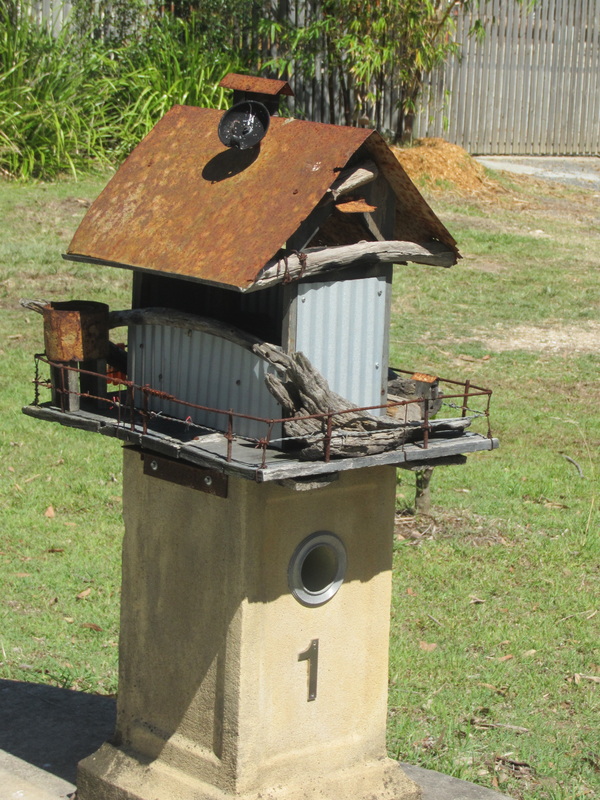
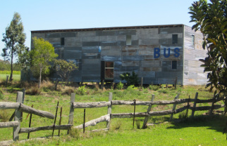
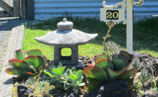
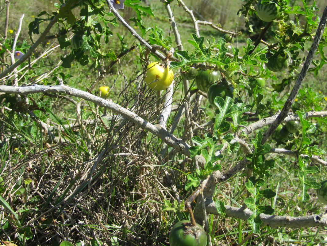
After morning tea we drove the car past the Gem Hotel (no, we did not stop), and rejoined the river further along in Alberton, where we parked and proceeded to explore more on foot. European settlement began here in 1863 when the first settlers arrived, mostly German immigrants. The rural area has many homesteads and farms with animals ranging from alpacas to sheep, goats and cattle. Rustic sheds and quirky letter boxes also drew our attention.
| 
|
| 
|
| 
|
Time for a break by the Logan River.
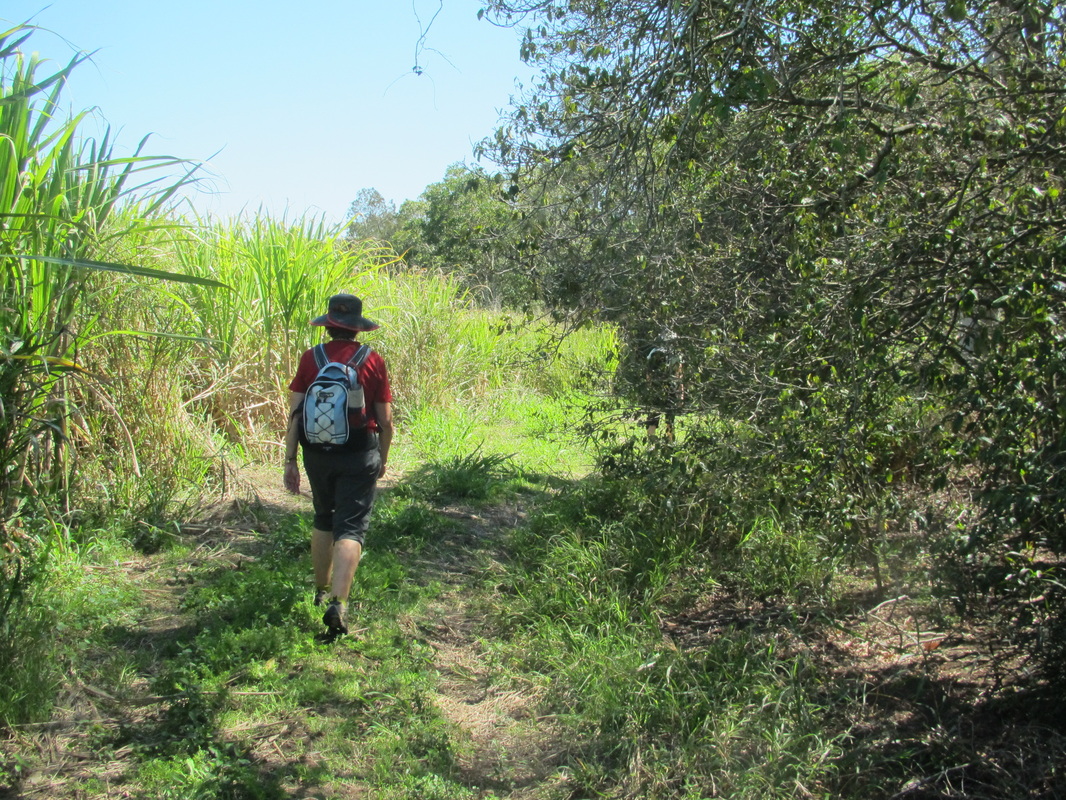
Hiking through canefields.
| 
And down country lanes.
|
Houseboats on the Logan River.
| 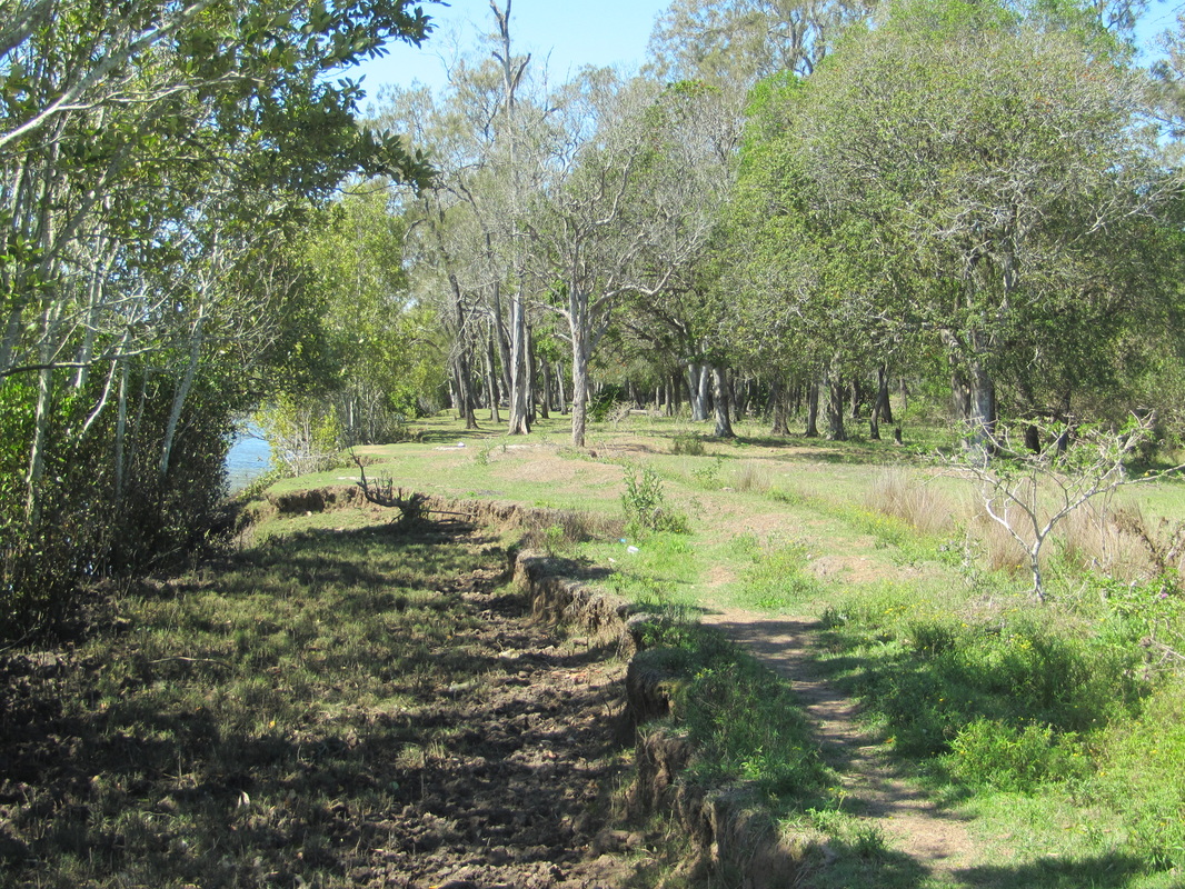
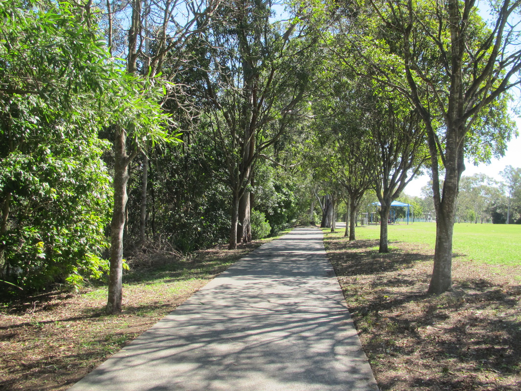
Riverside track
|
| 
|
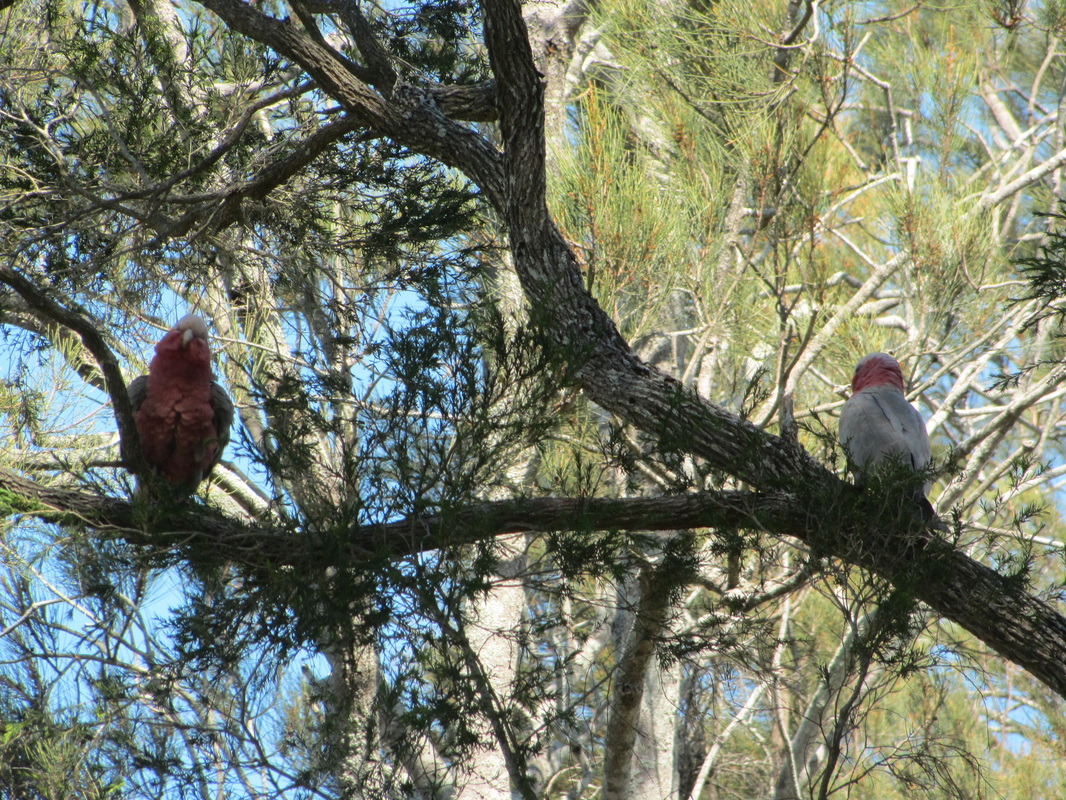
Galahs (also known as rose-breasted cockatoos
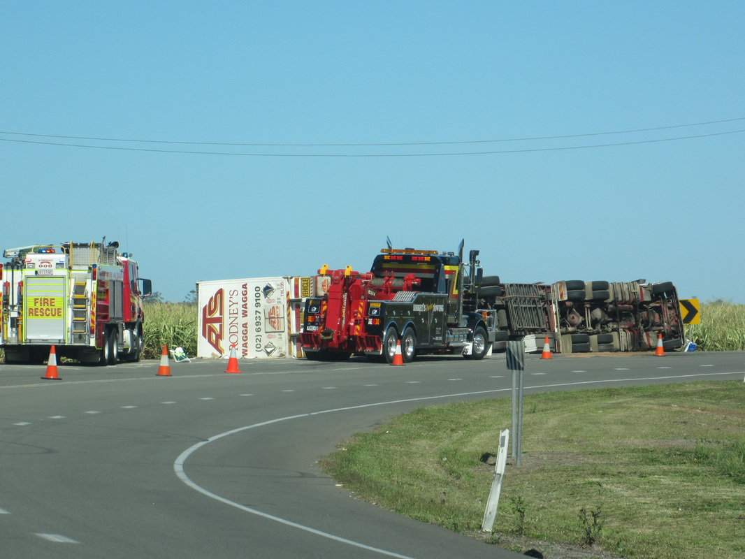
We ended the day with a late lunch by the sea at Cabbage Tree Point. This meant a short drive through the canefields of Woongoolba and a slight hold up on a sharp bend where a semi had overturned.
| 
|

Lunch at Cabbage Tree Point
| 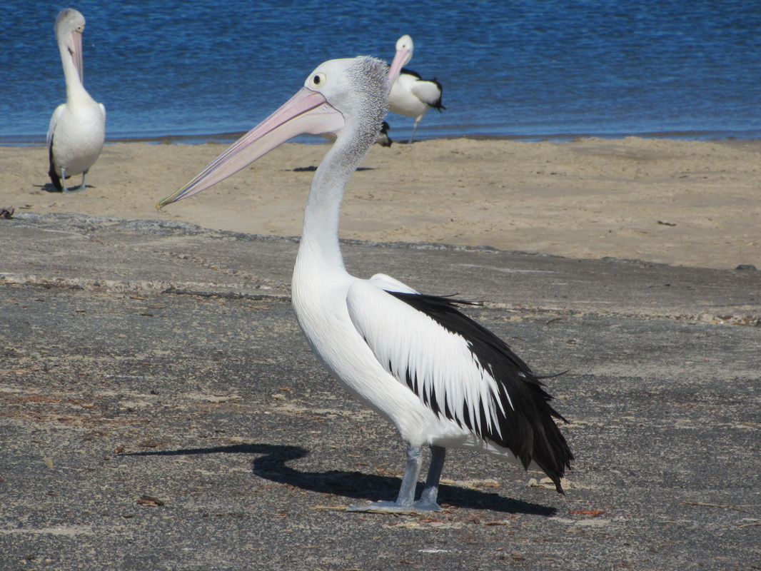
Our lunch companions
|
All in all, another fantastic day of hiking in our beautiful and varied countryside. Farewell for now. I'll leave you with a summing up in song.


 RSS Feed
