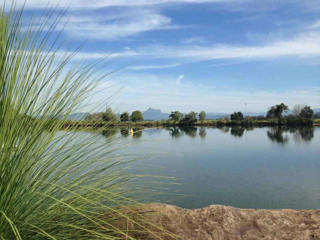
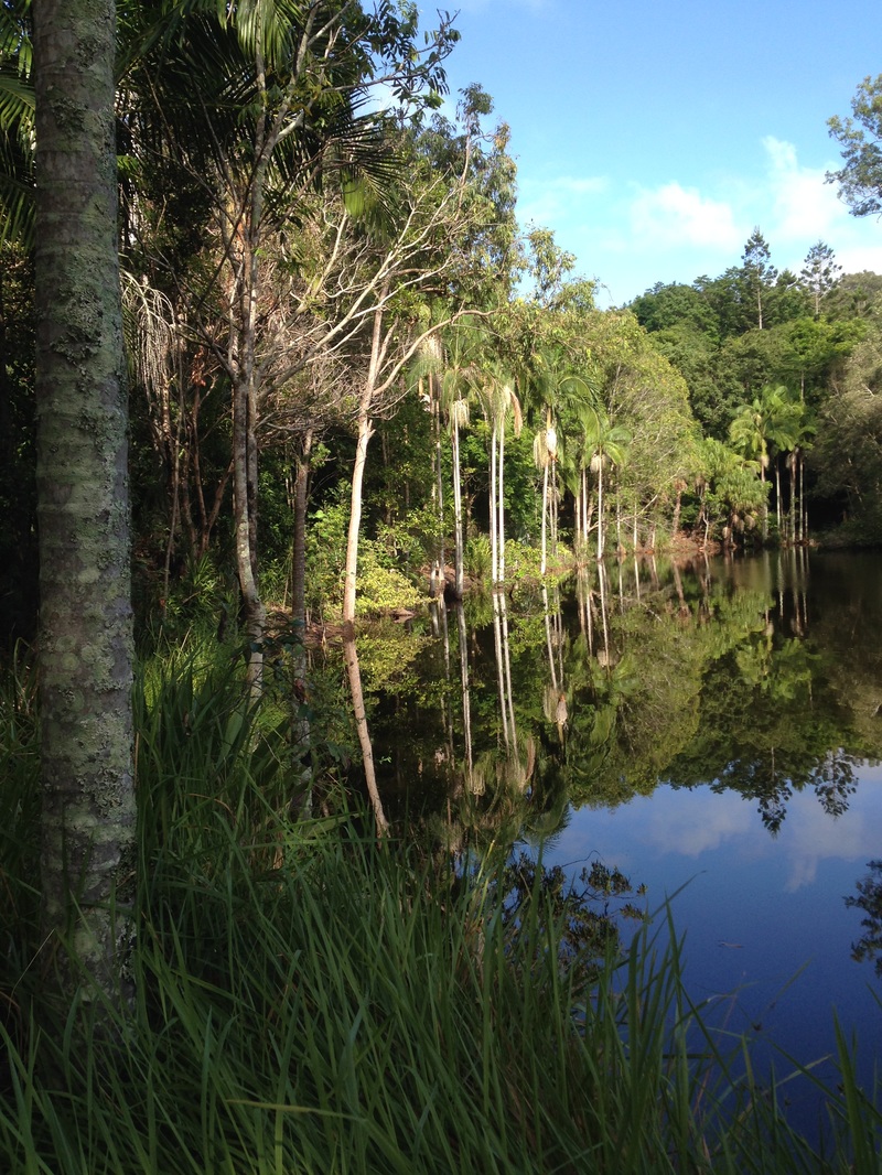
Gold Creek Reservoir is located in Upper Brookfield in Brisbane’s western suburbs and this week we hiked around it, excited to have found a new trail close to the city. The dam is Queensland's second oldest, constructed in 1886 to supplement Enoggera Dam It was extensively refurbished in 2005 and is the world’s first un-reinforced concrete stepped spillway. The lake is quite small with a catchment area of just 10.5km2 and holds 801 megalitres of water at full supply.
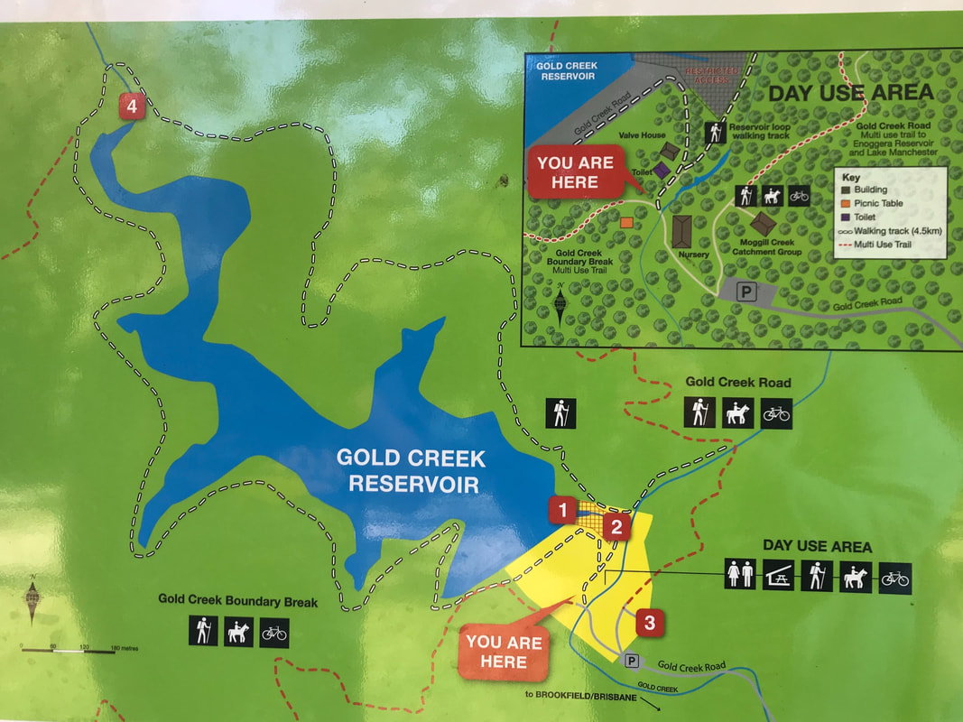
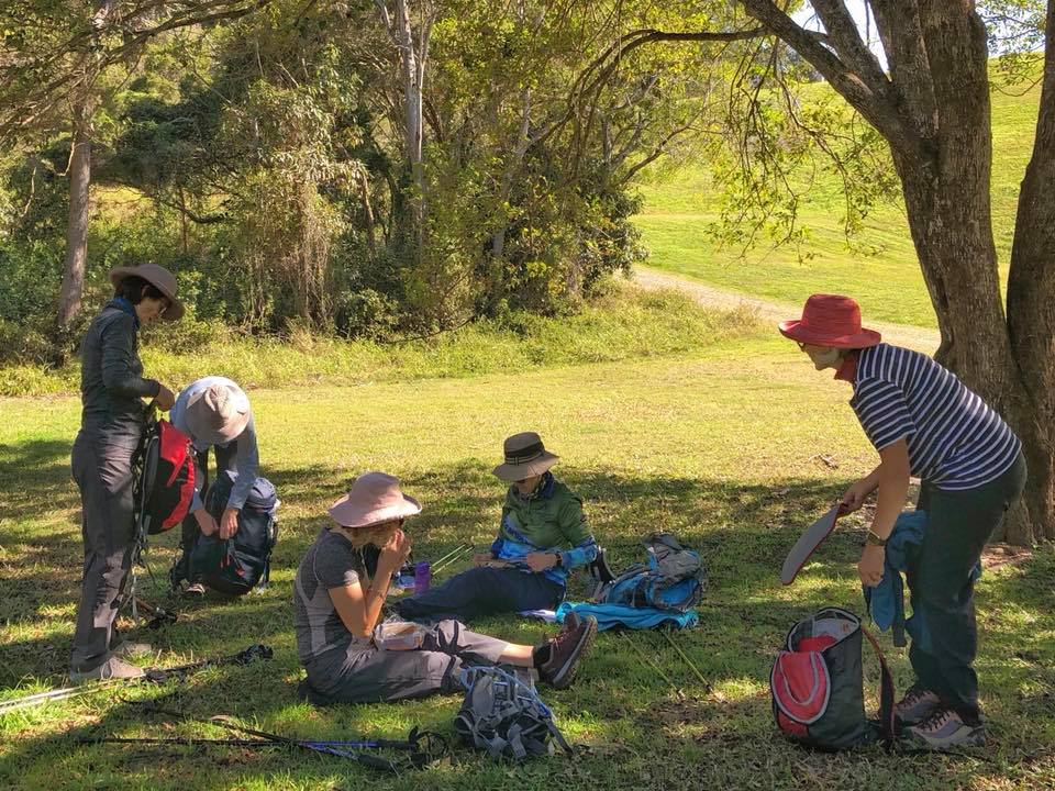
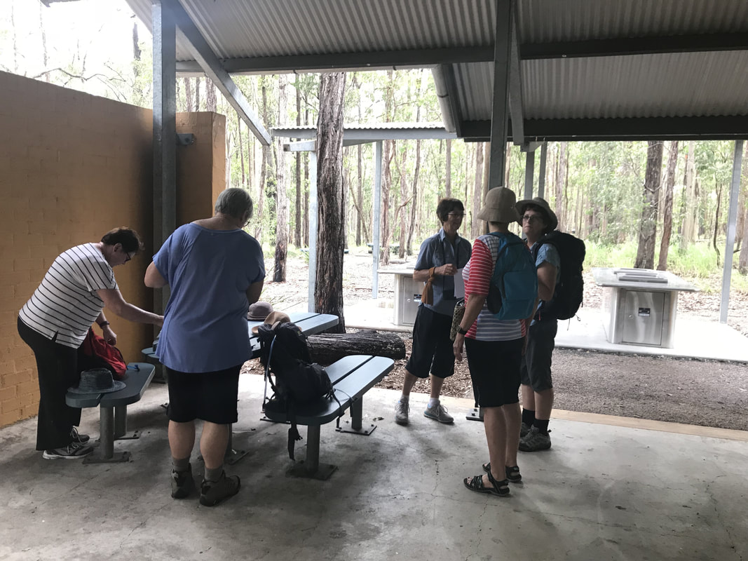
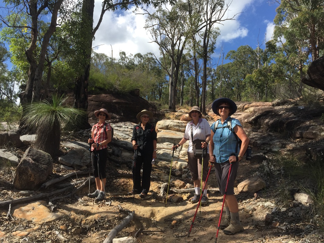
At the foot of the dam is a picnic area, a public toilet and an information board. After morning tea and a quick walk up the top of the dam earth wall, we set off to follow the walking track circuit.
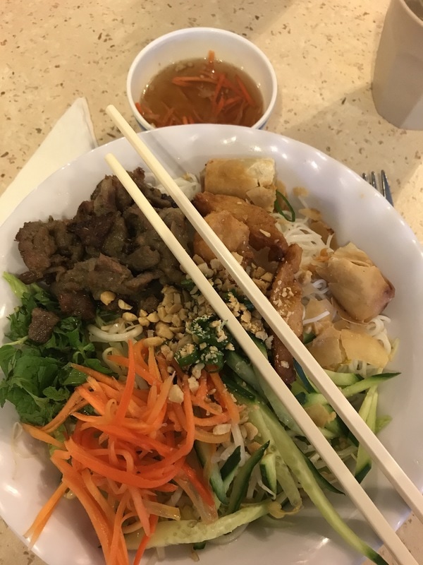
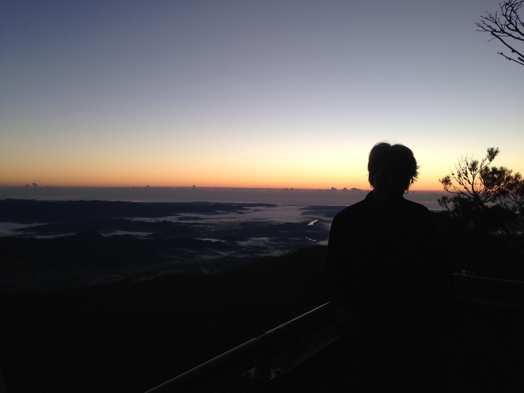
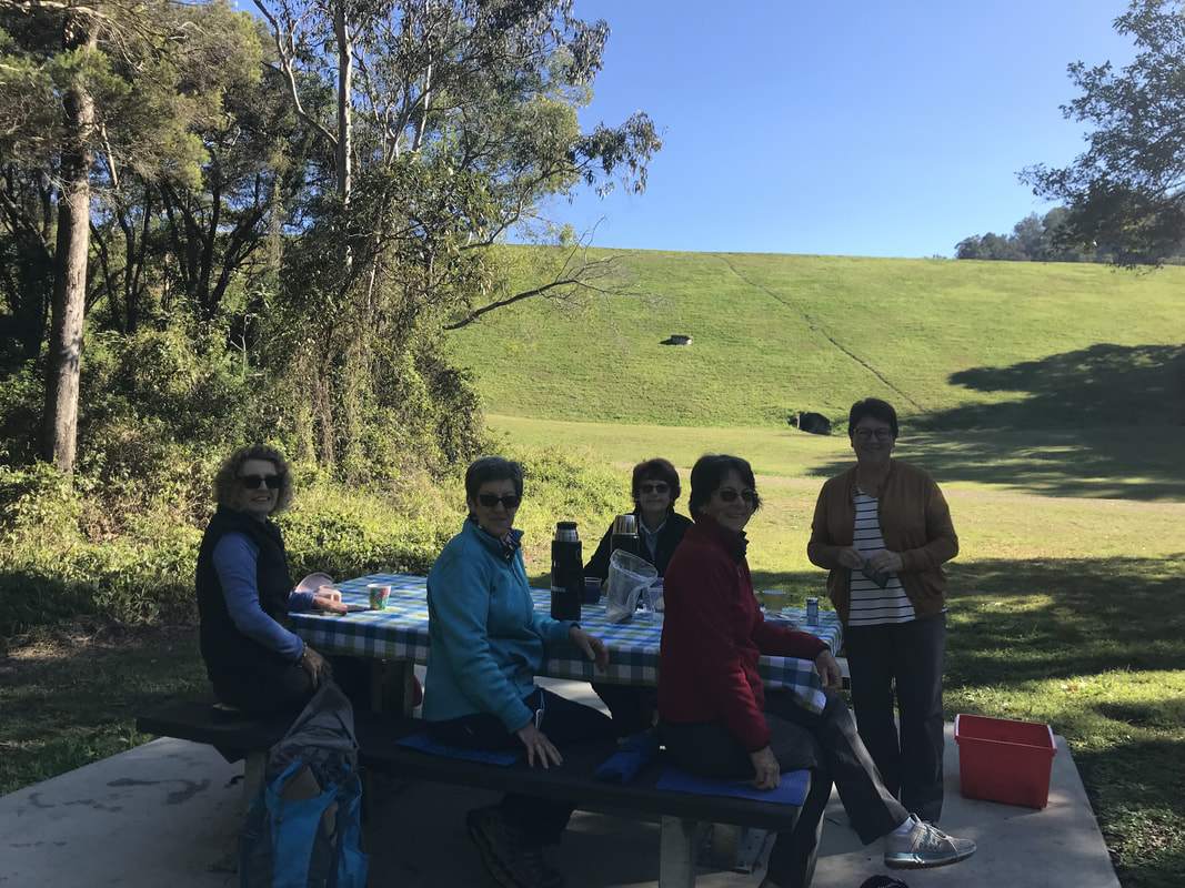 First, morning tea. | 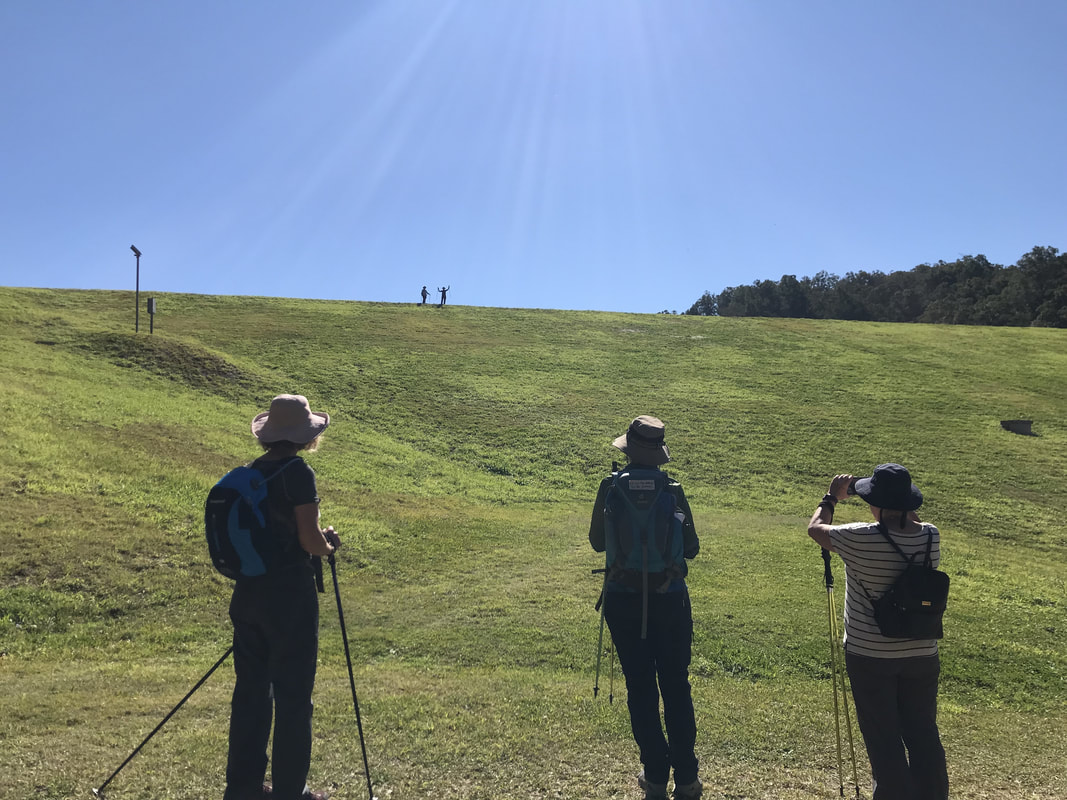 A steep track leads to the top of the dam wall. | 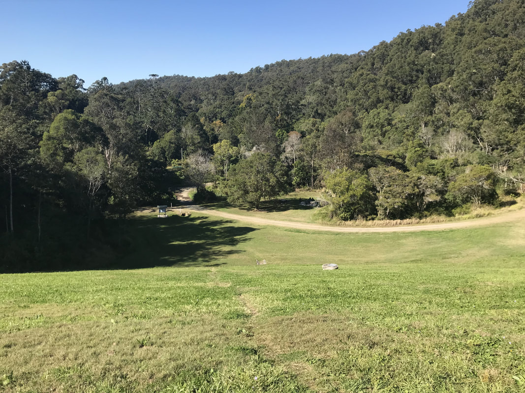 View back to the picnic area from the top of the dam wall. |
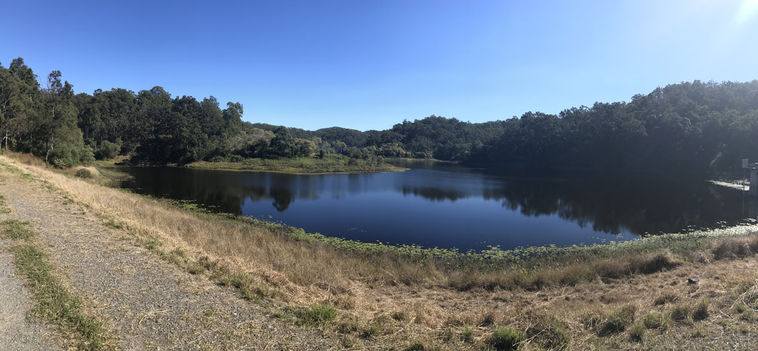
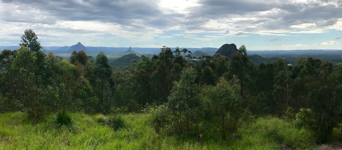
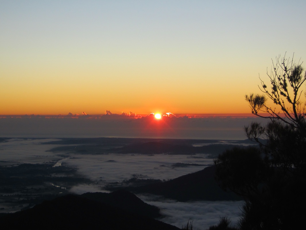
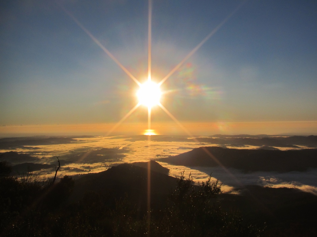
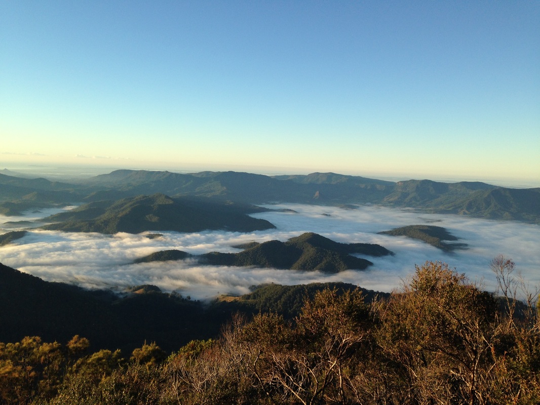
View of the resrvoir from the top of the dam wall.
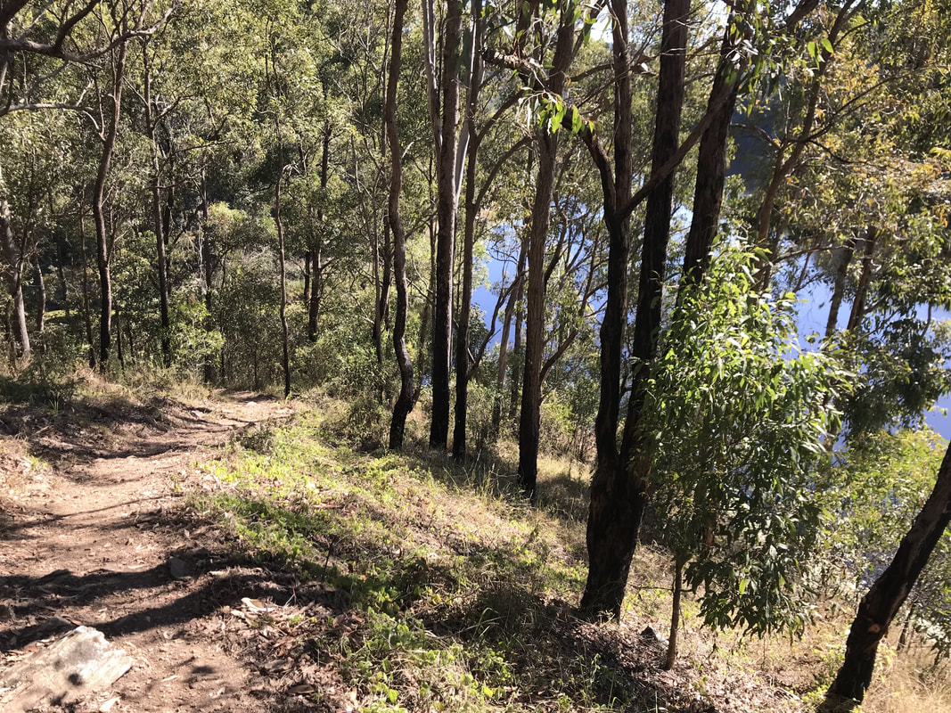
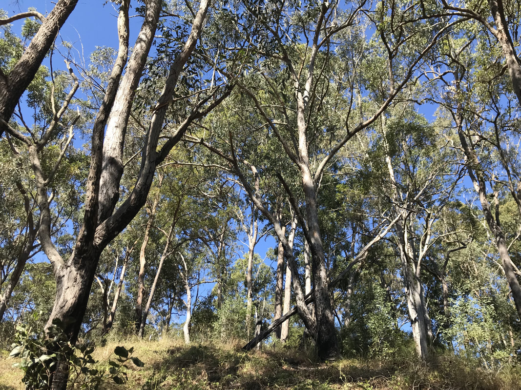
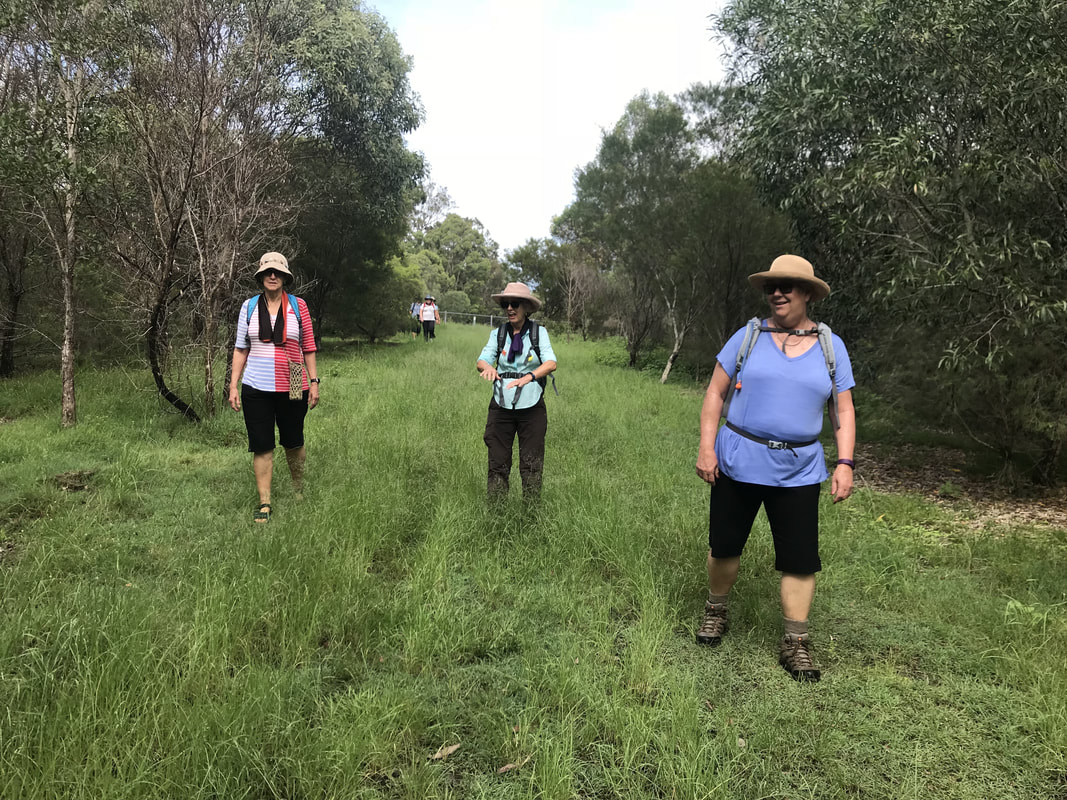
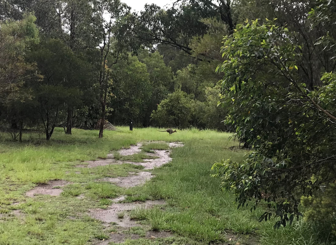
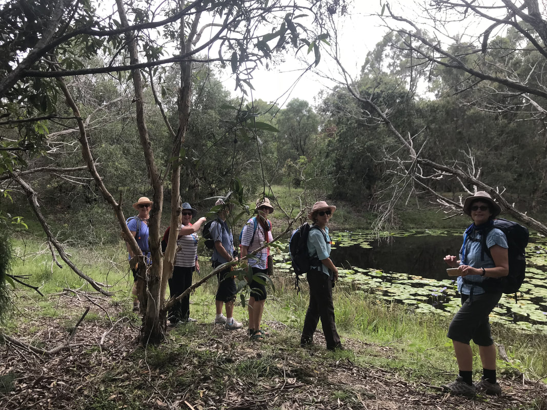
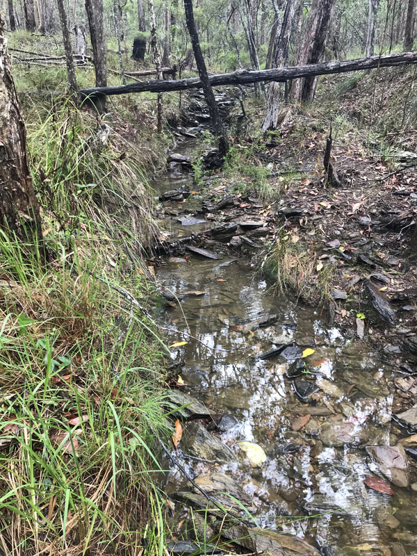
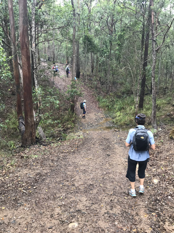
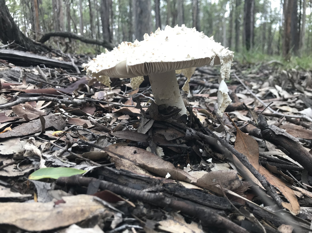
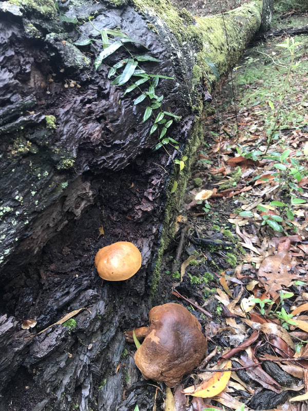
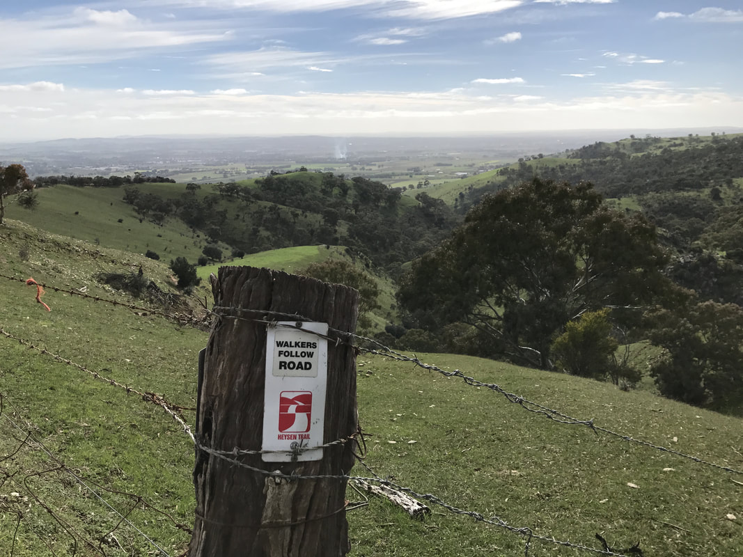
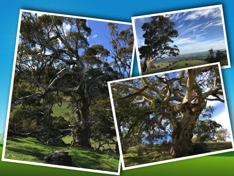
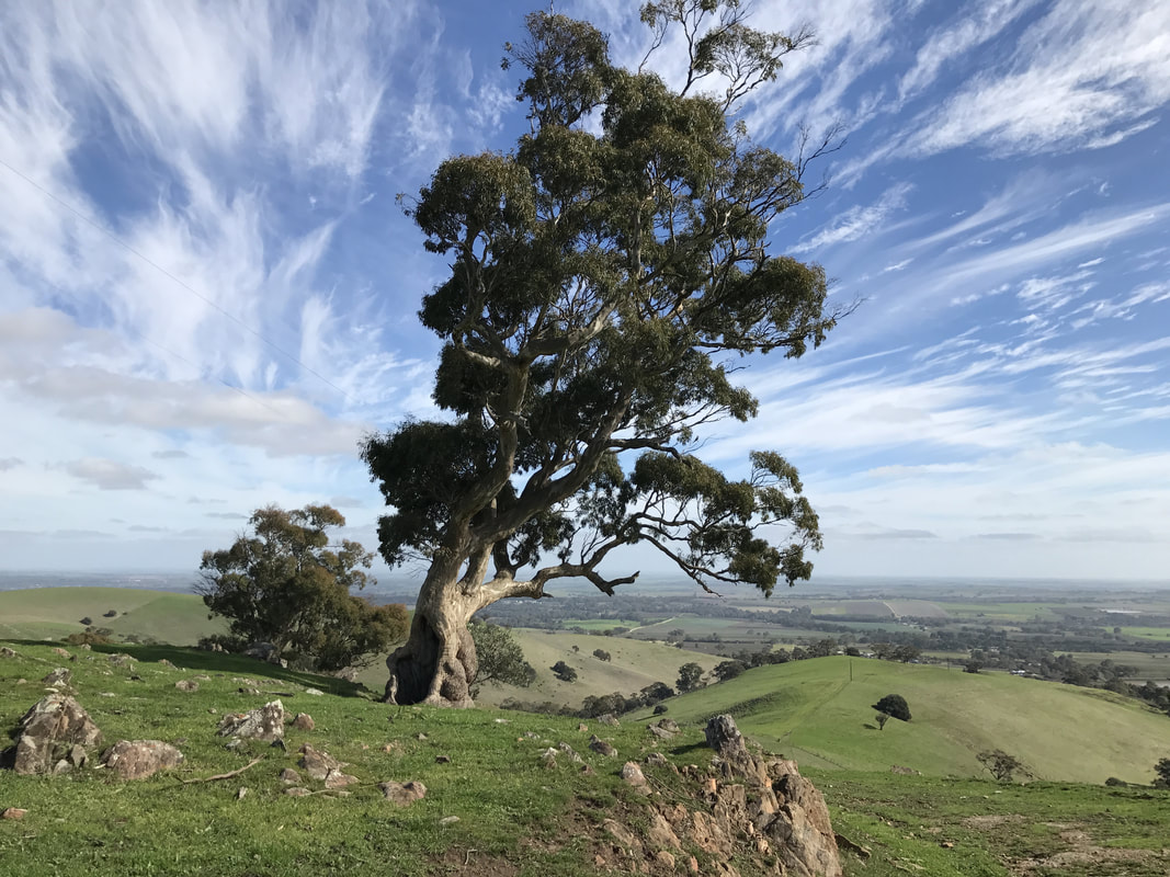
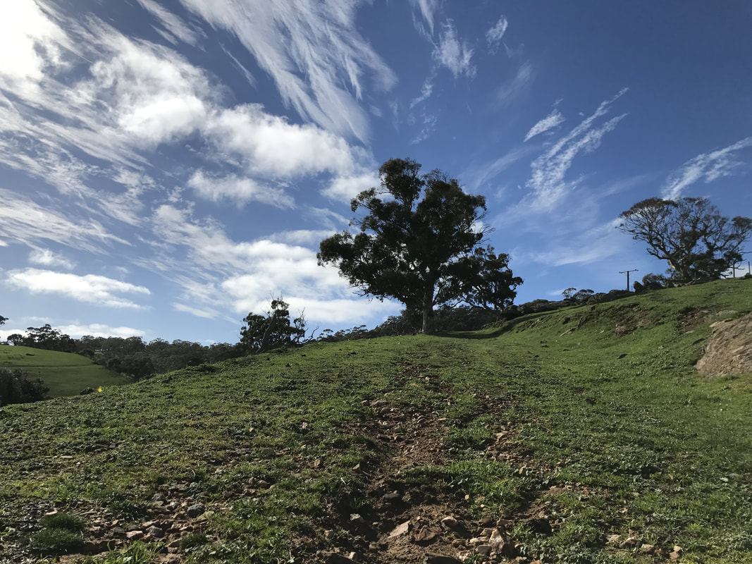
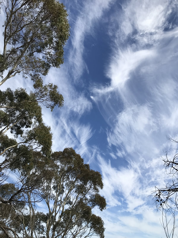
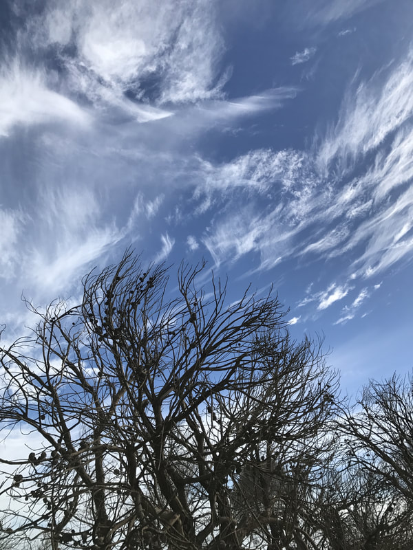
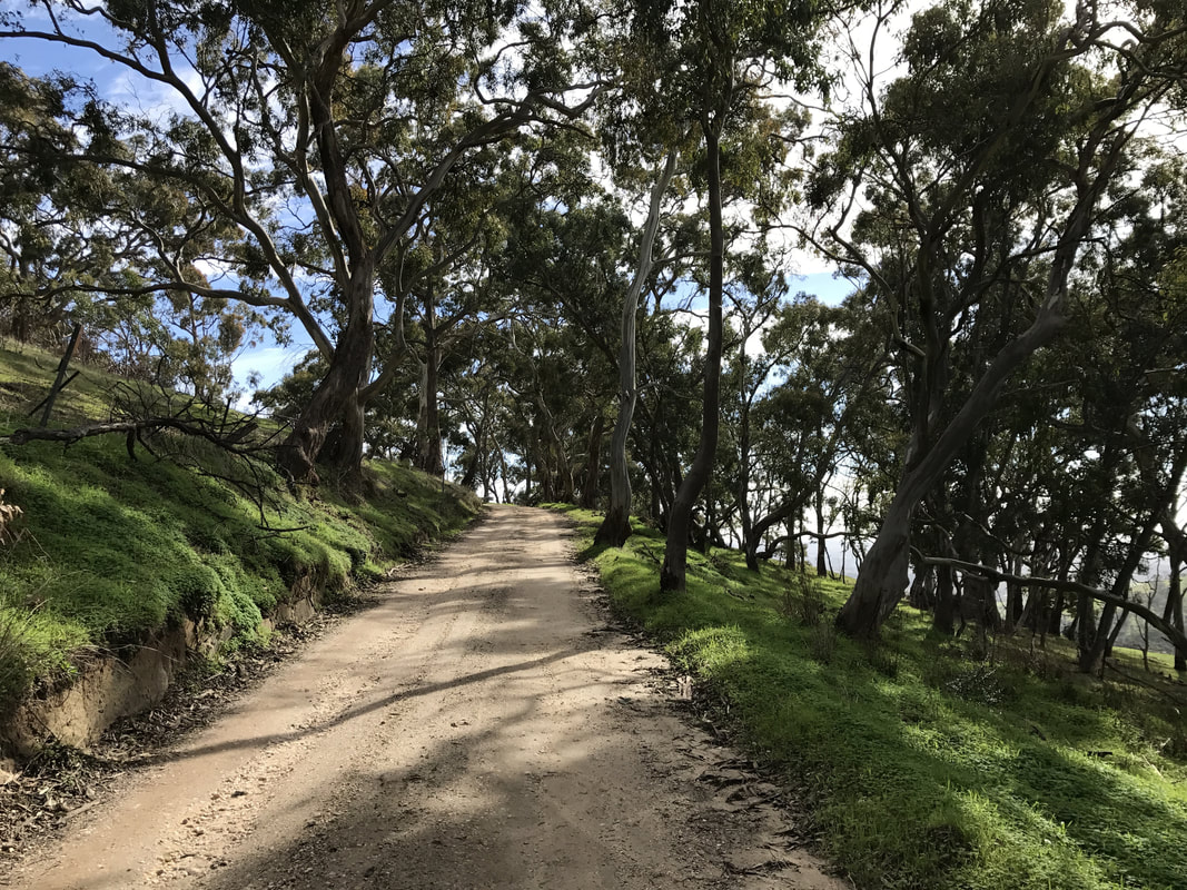
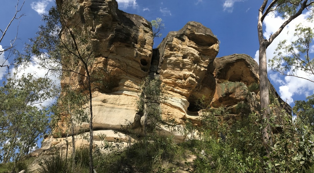
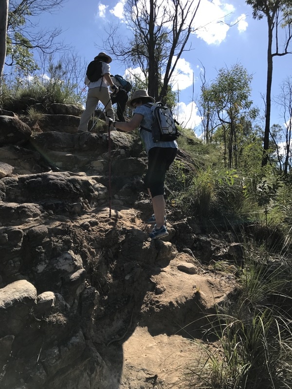
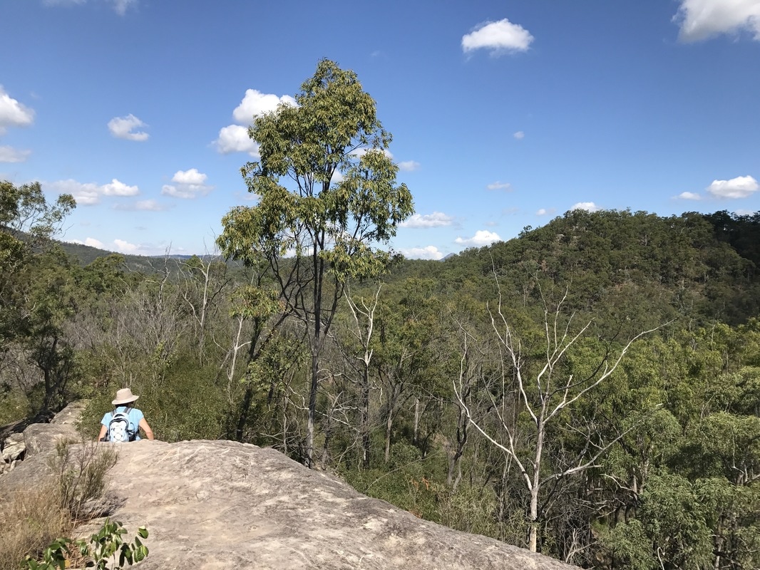
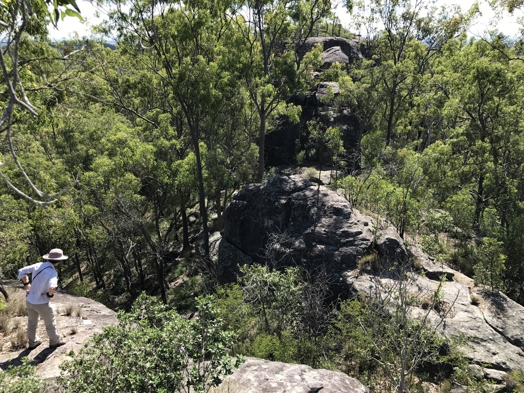
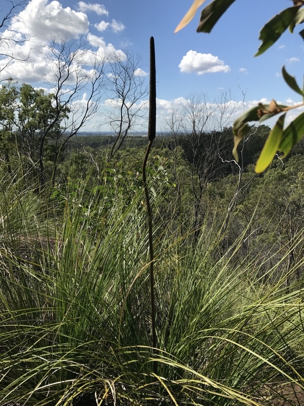
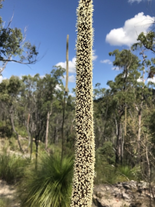
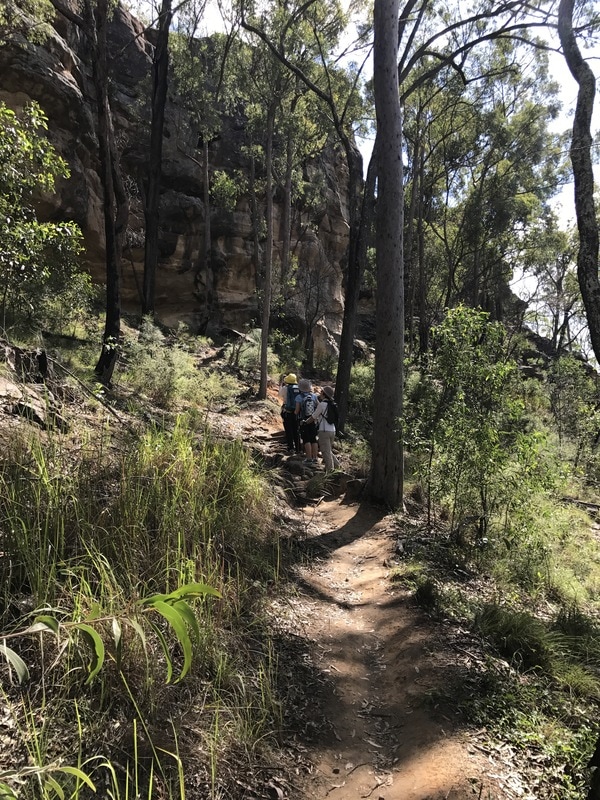
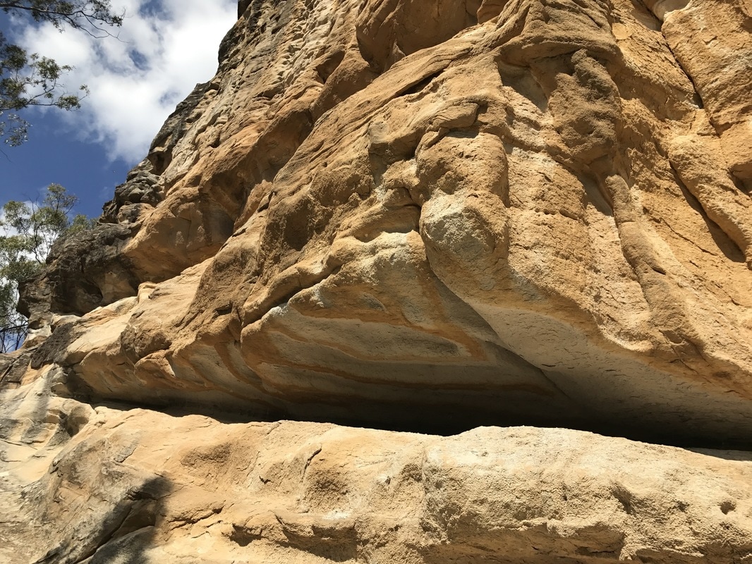
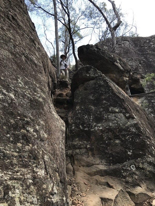
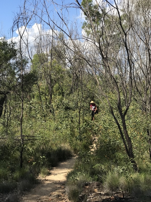
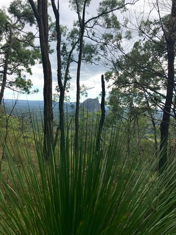
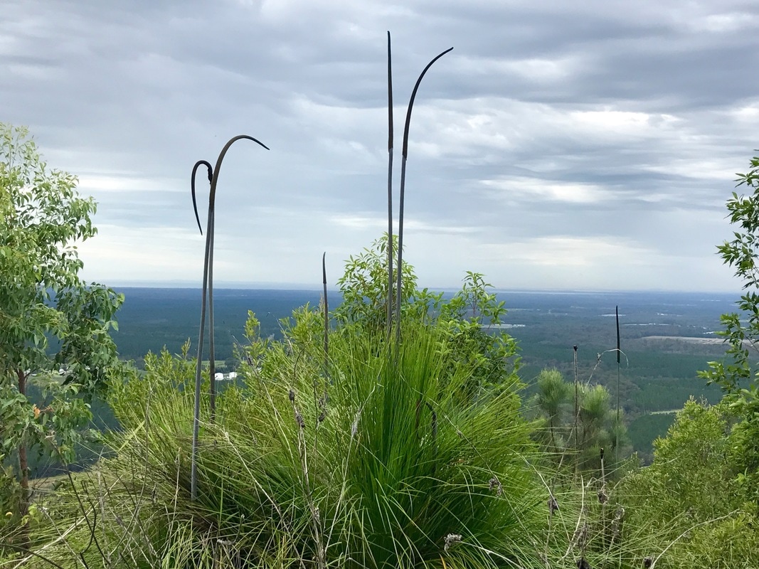
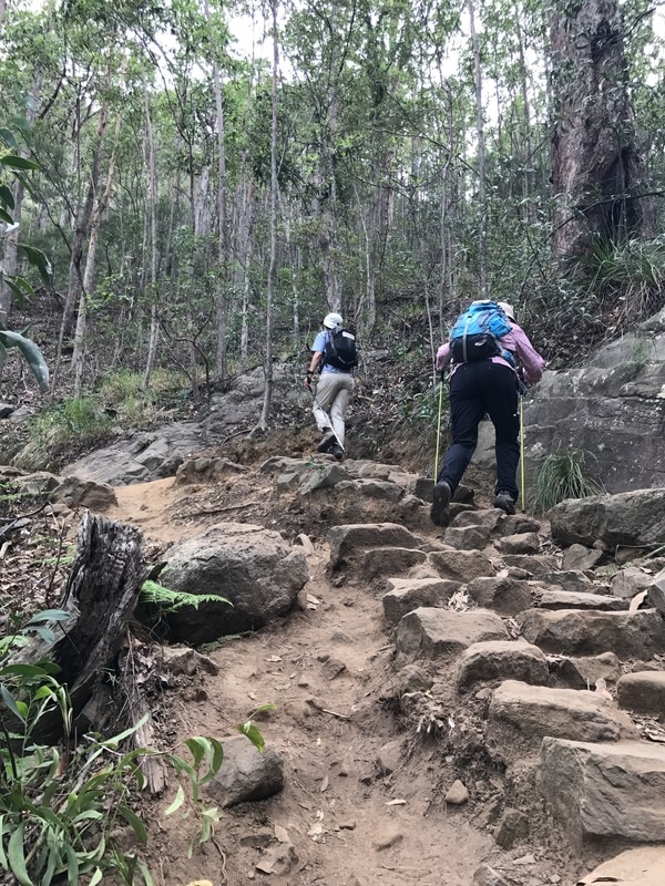
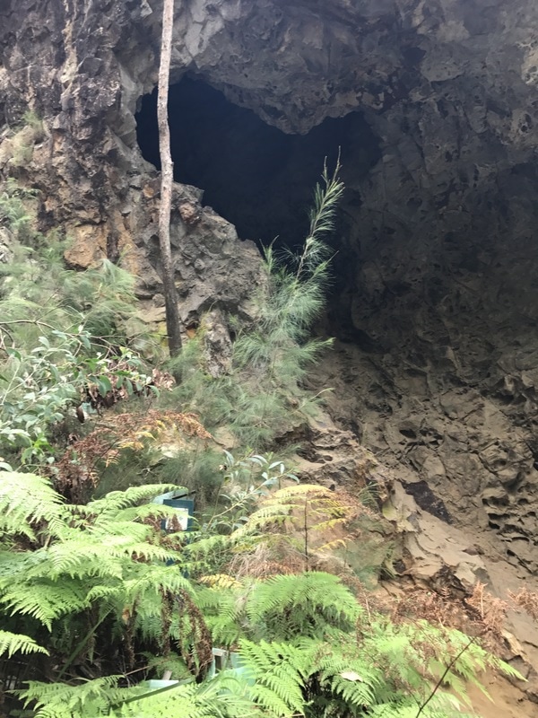
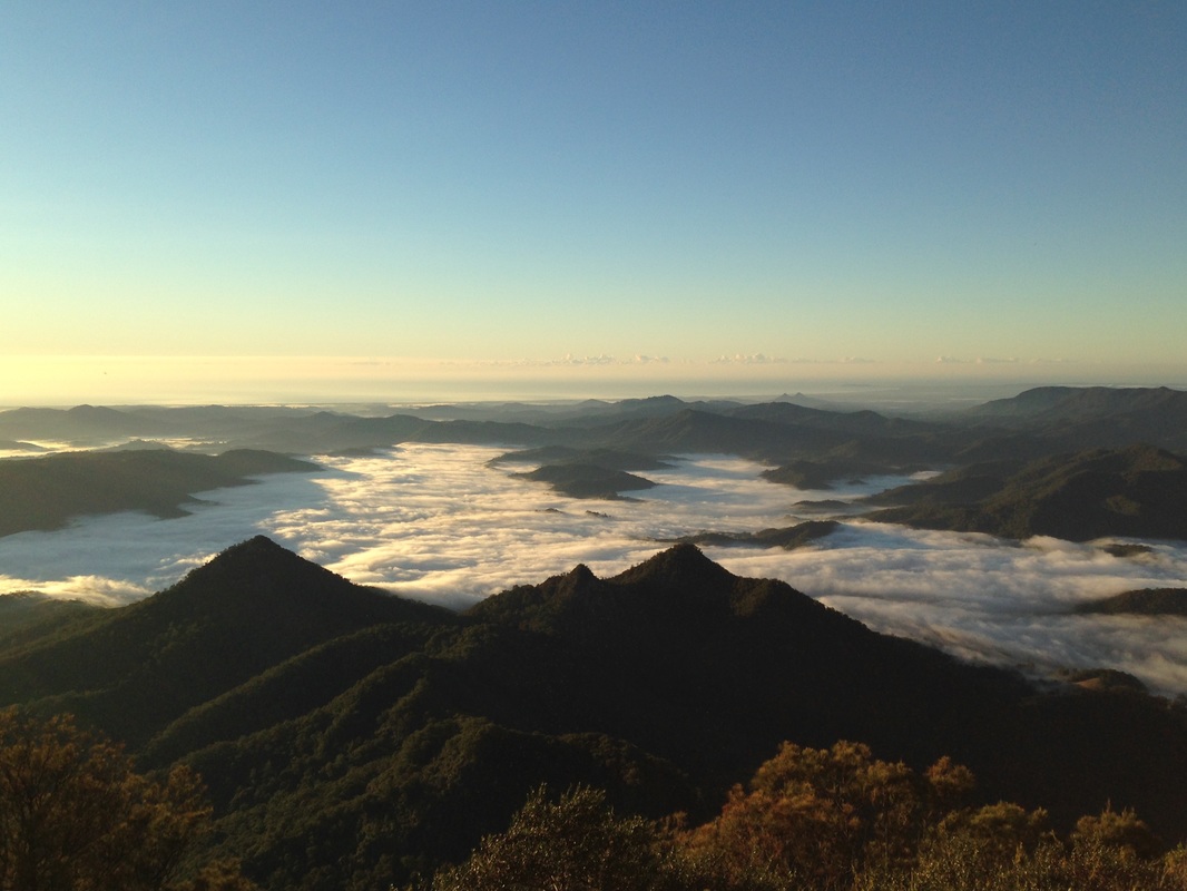
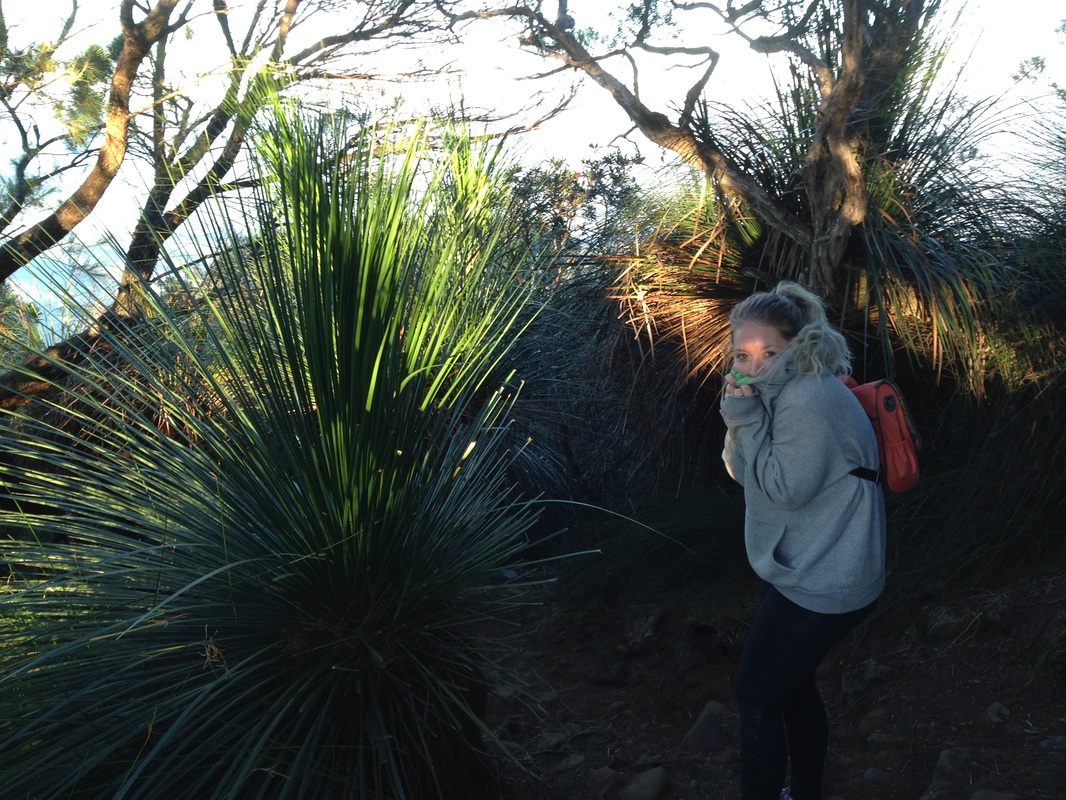
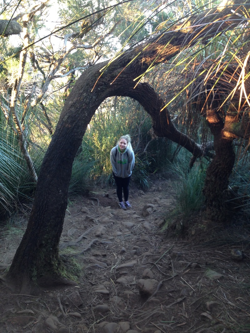
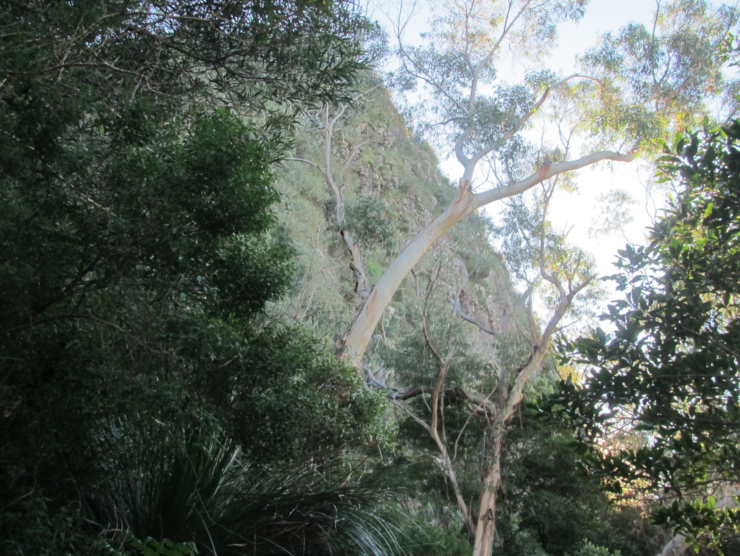
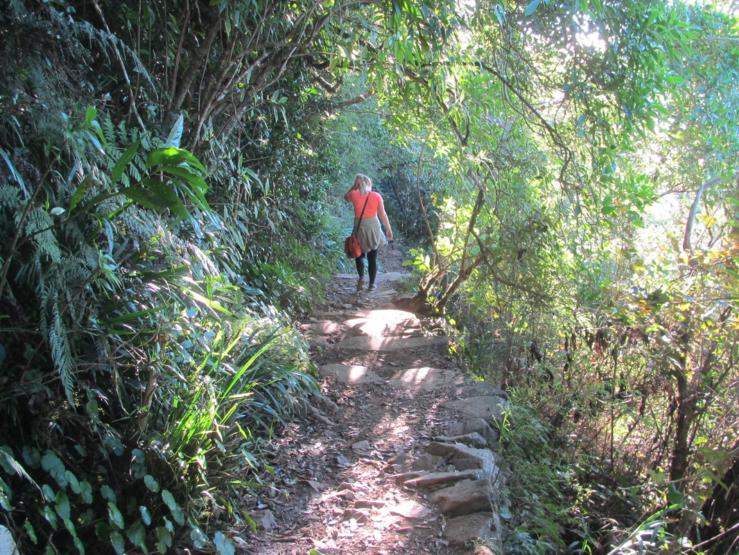
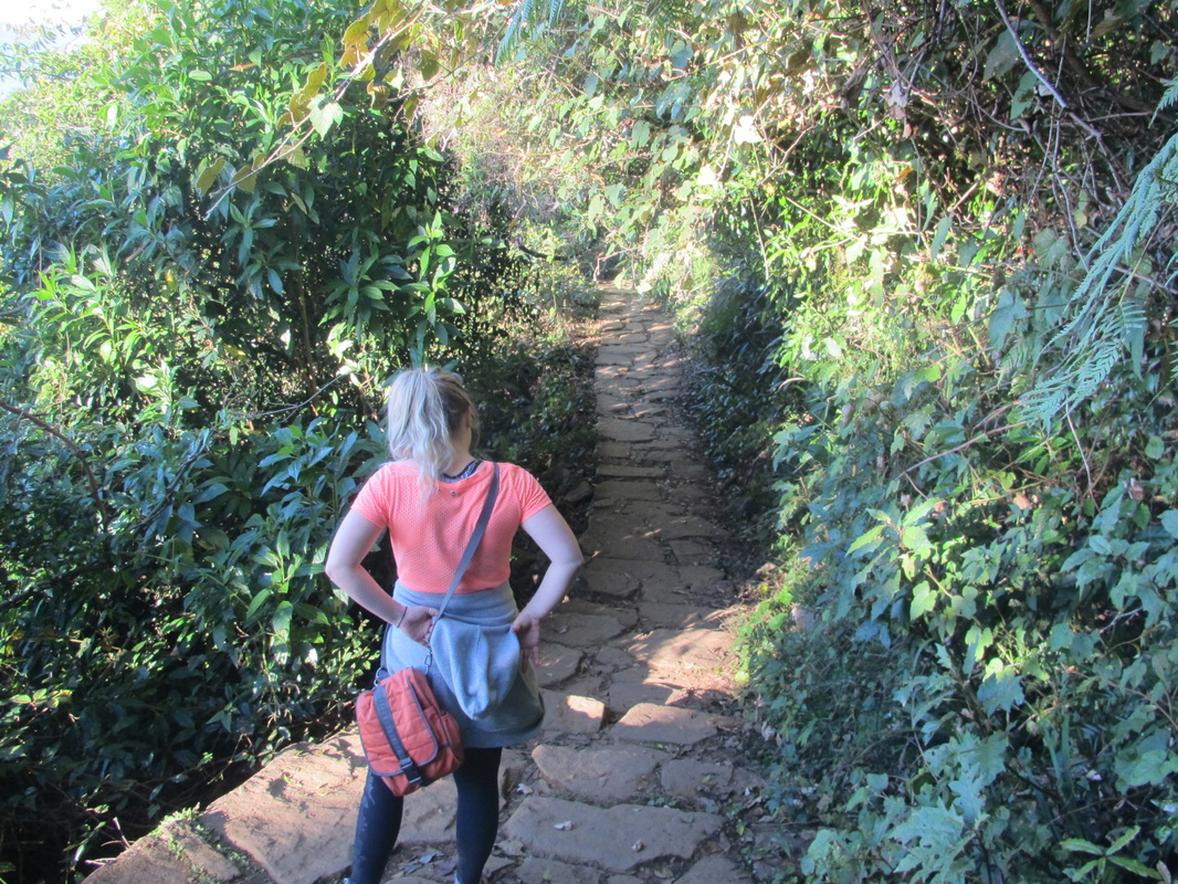
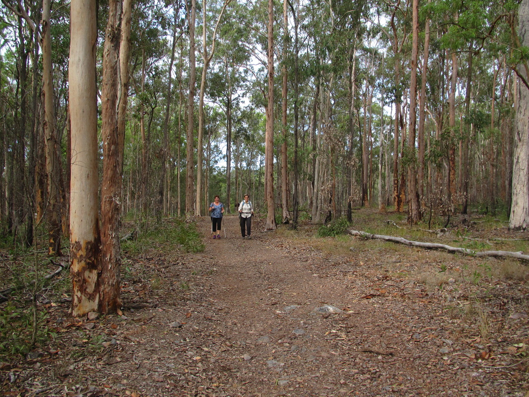
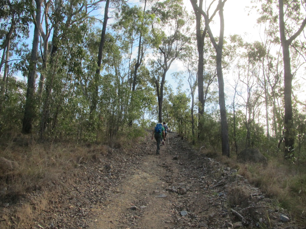
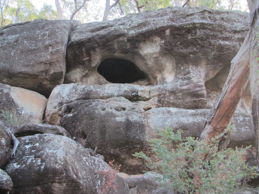
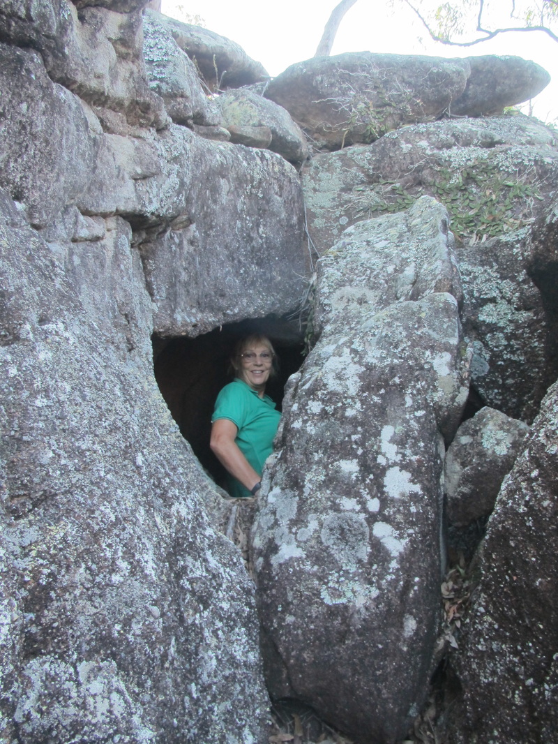
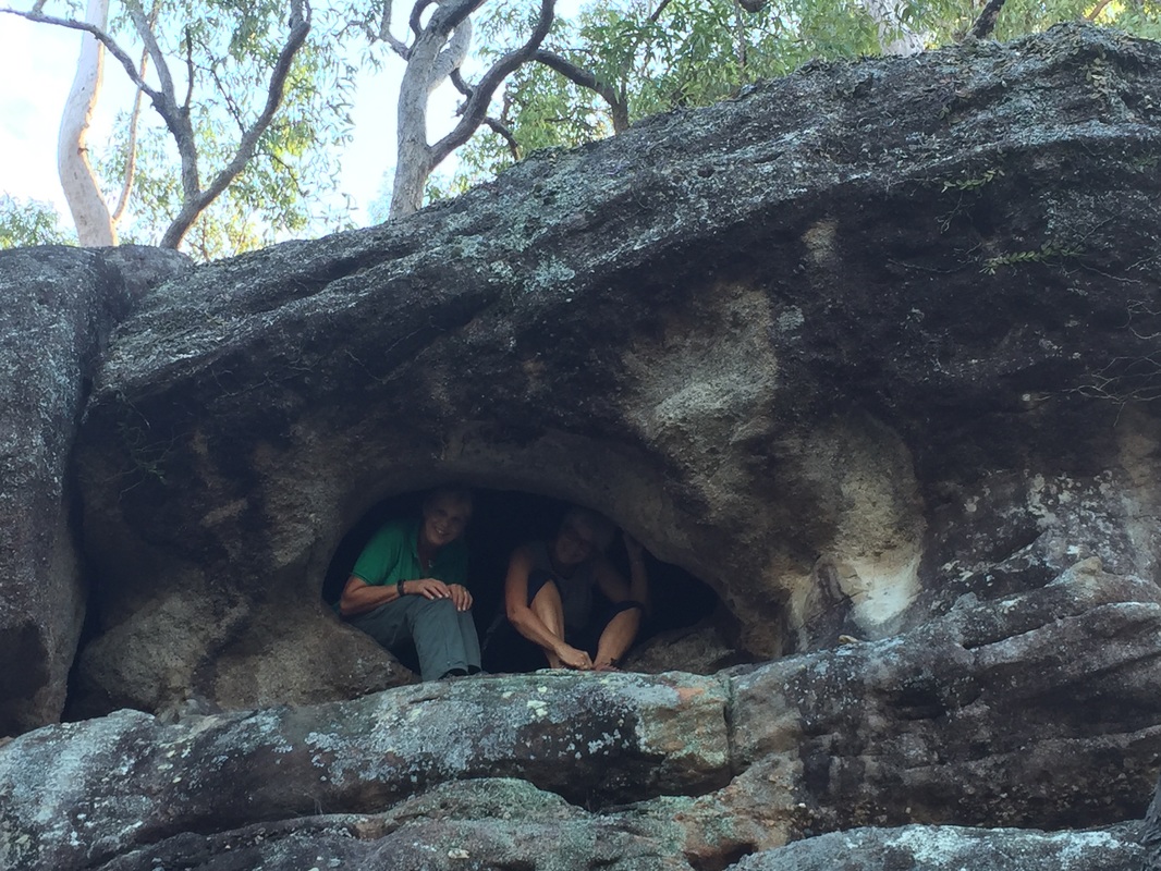
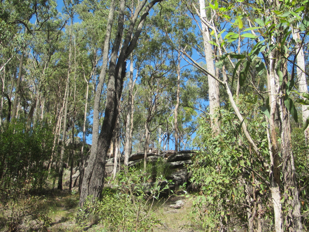
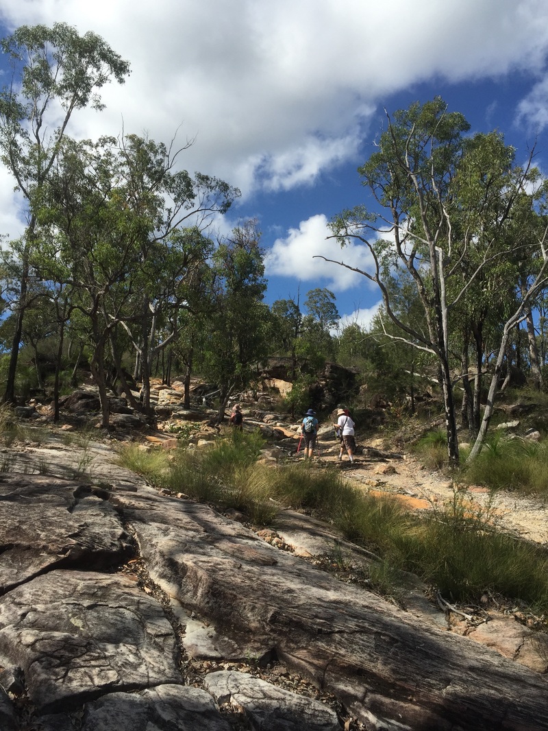
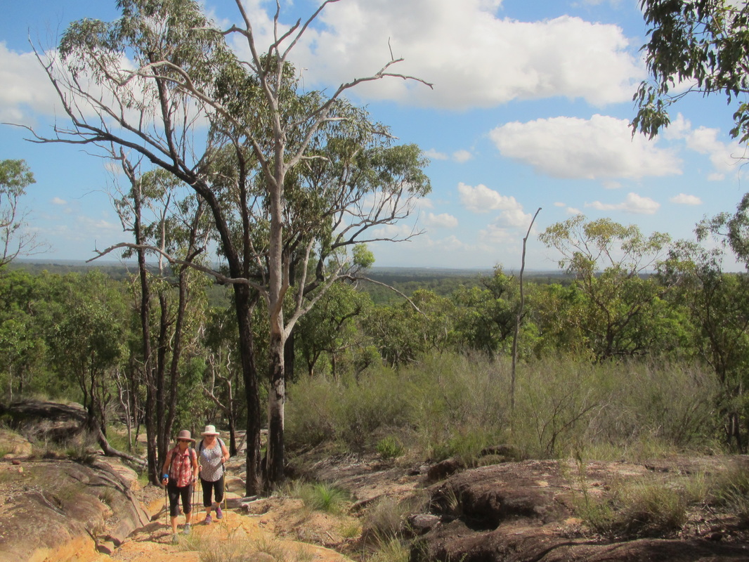
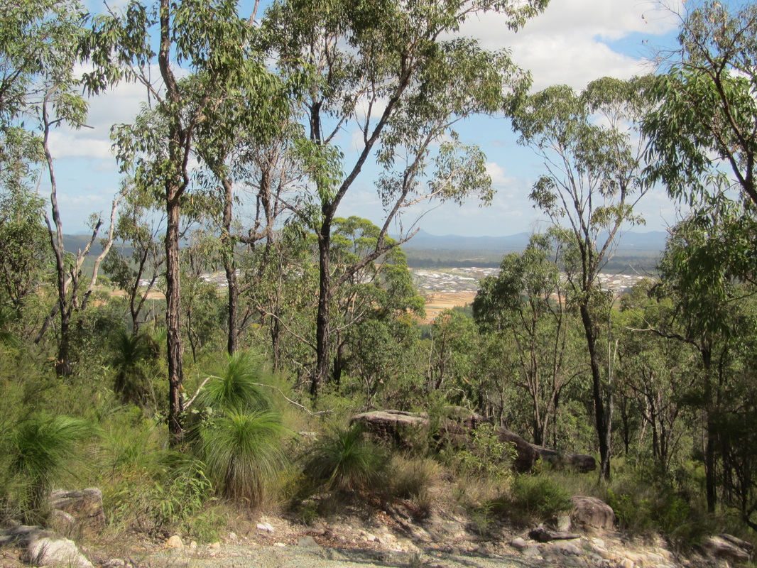
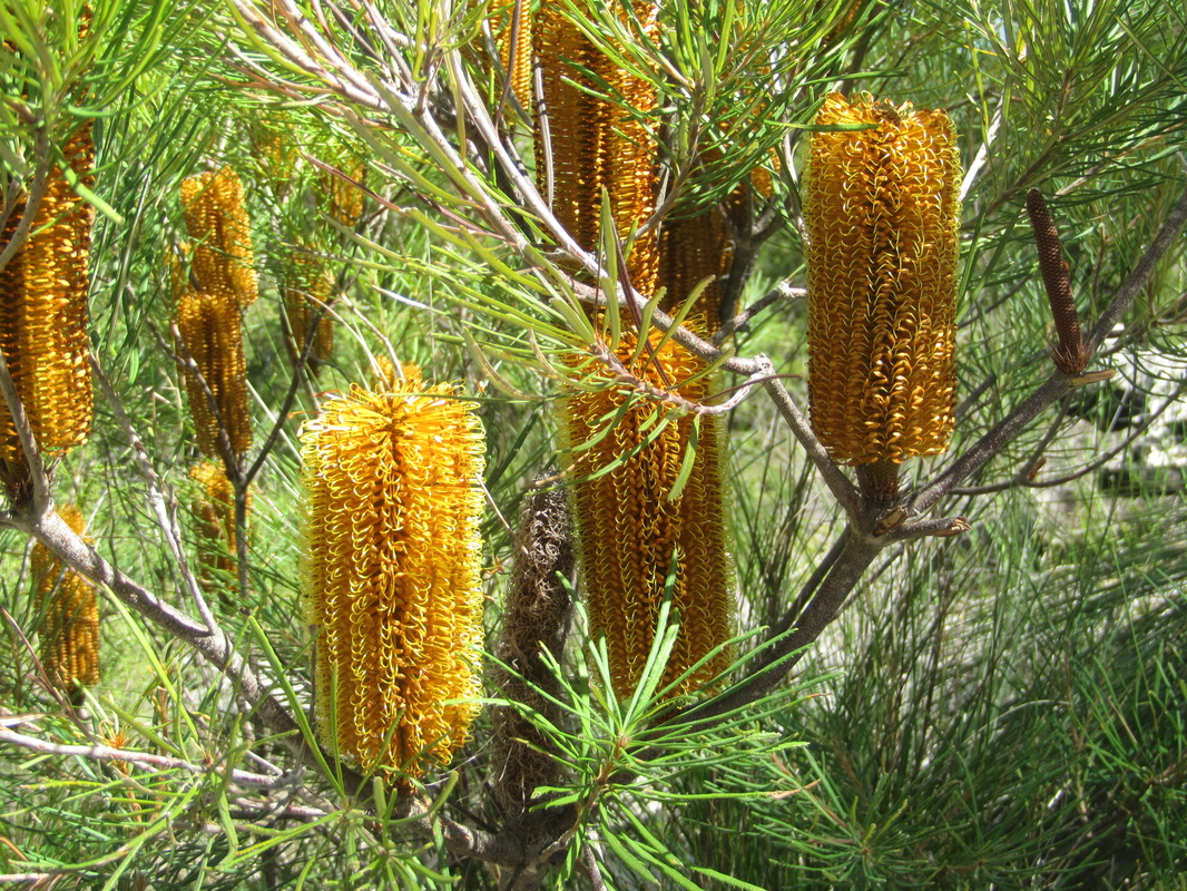
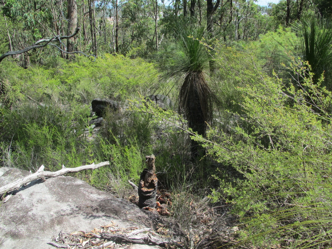
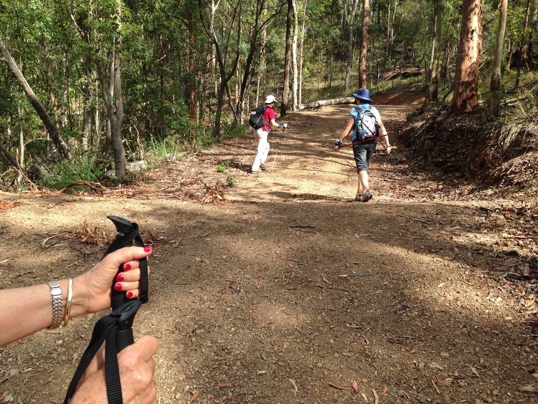
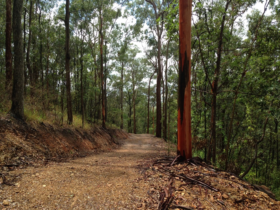
The bushland surrounding Gold Creek is part of the D'Aguilar National Park and contains plants and wildlife of regional biodiversity significance. We decided to follow the track in an anti-clockwise direction to complete the steepest sections first. The track was fairly narrow and quite steep at times, but the spectacular lake views were quite something. We passed through tall eucalypt forests with pickets of rainforest plants in the more protected gullies.
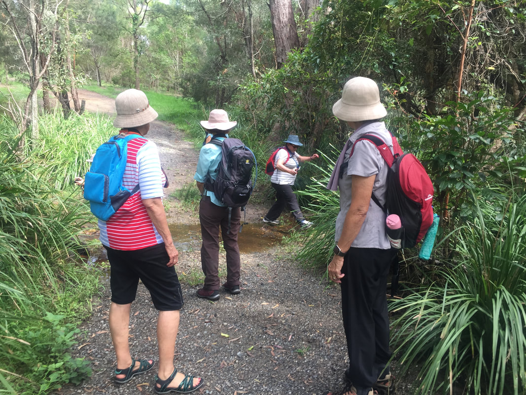
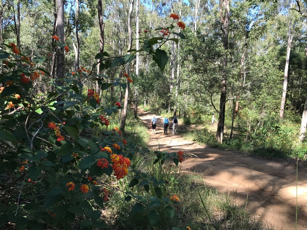
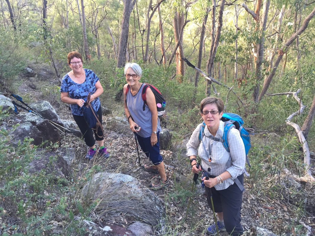
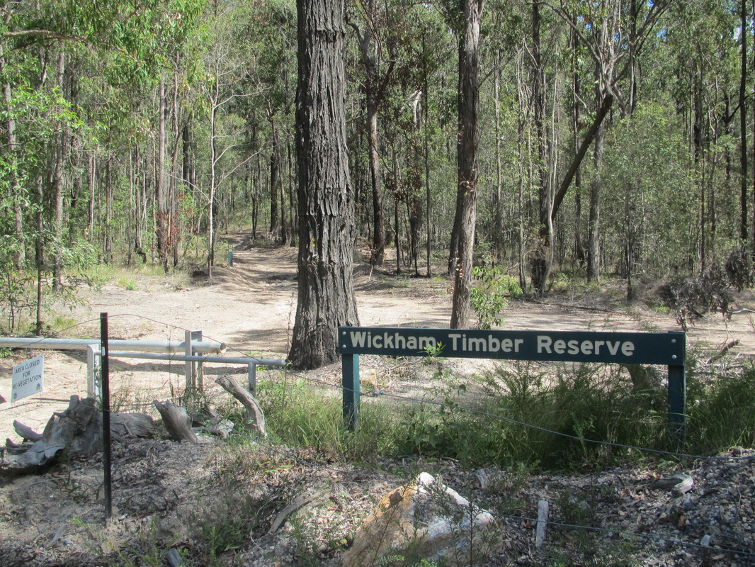
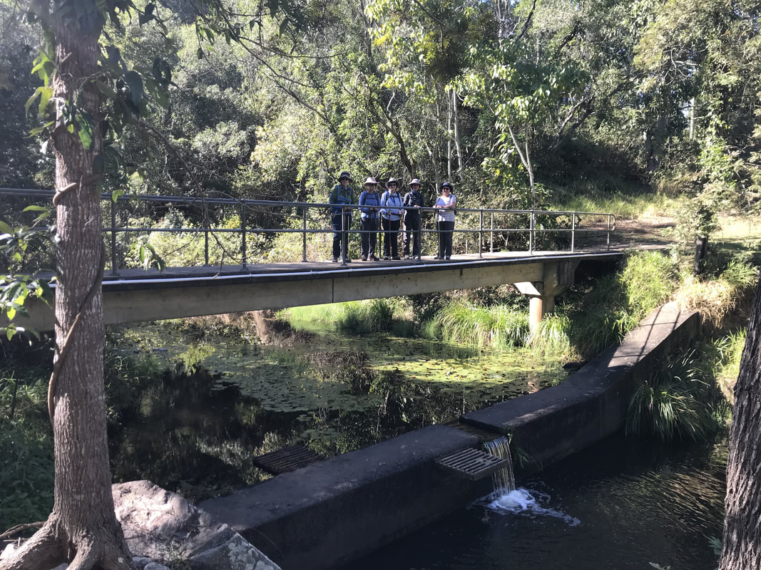 Bridge near the start of the trail. | 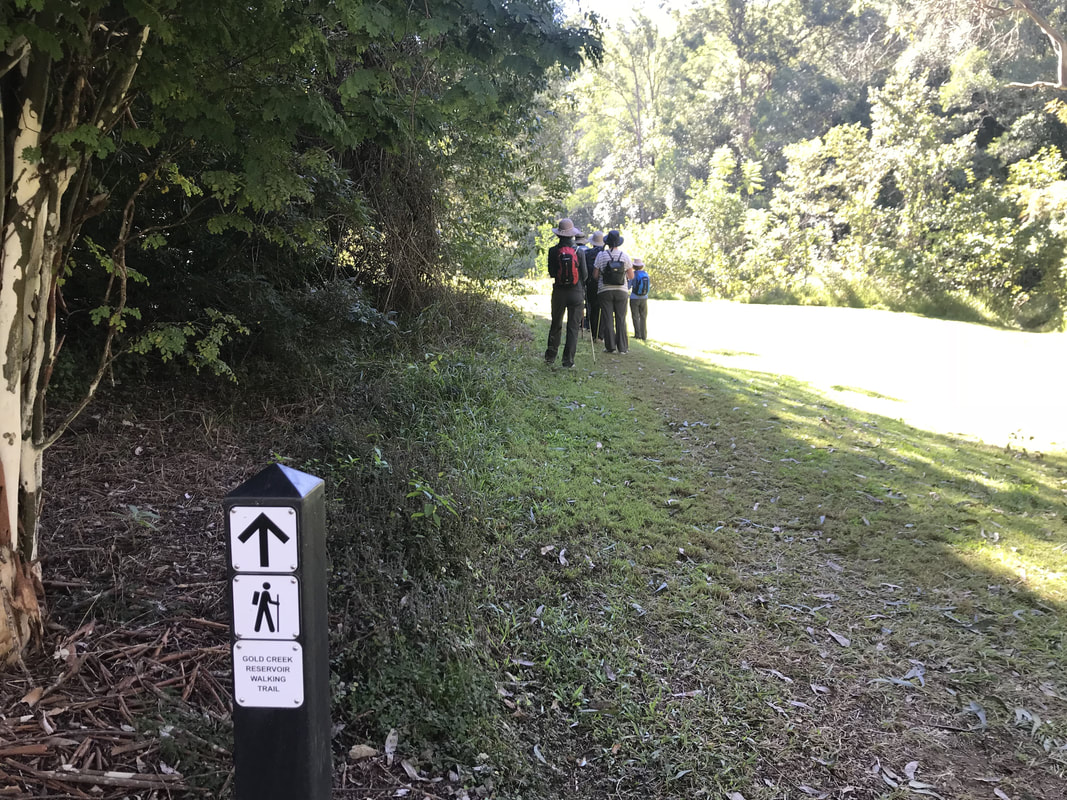 The trail begins. |
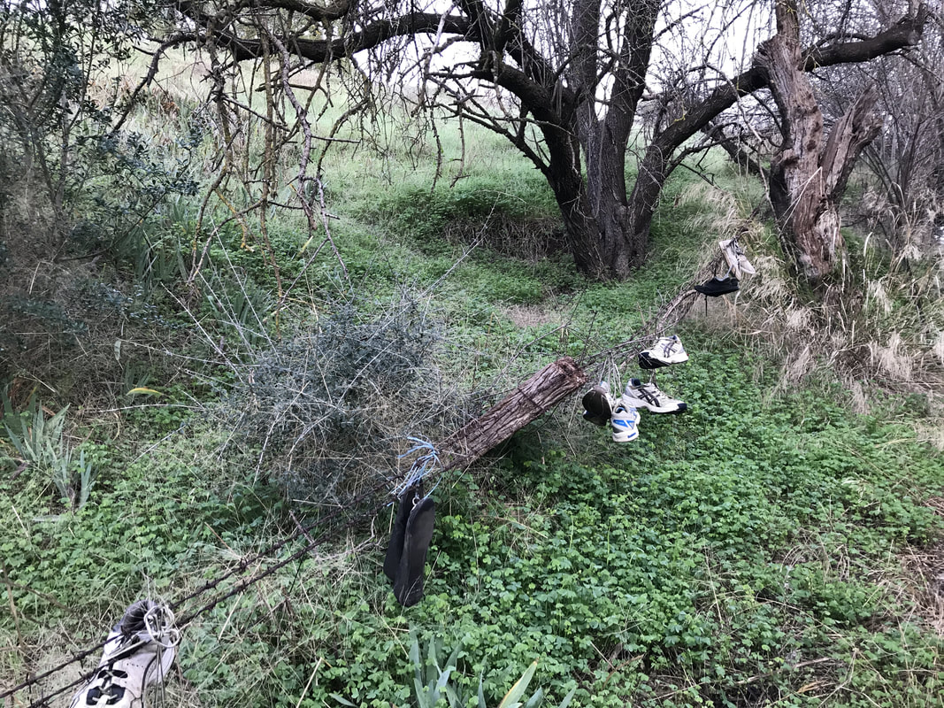
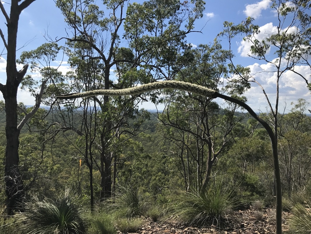
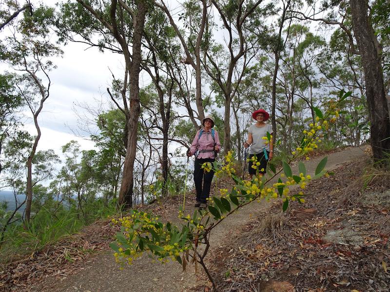
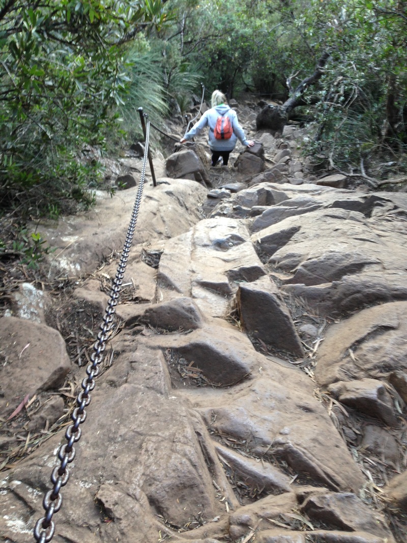
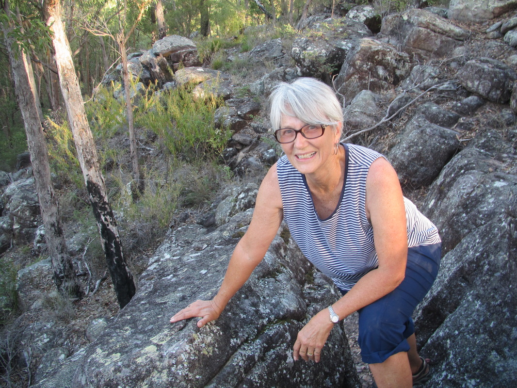
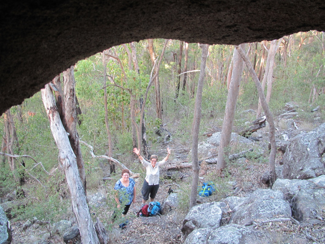
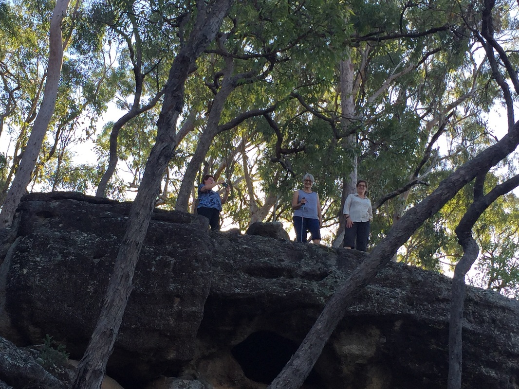
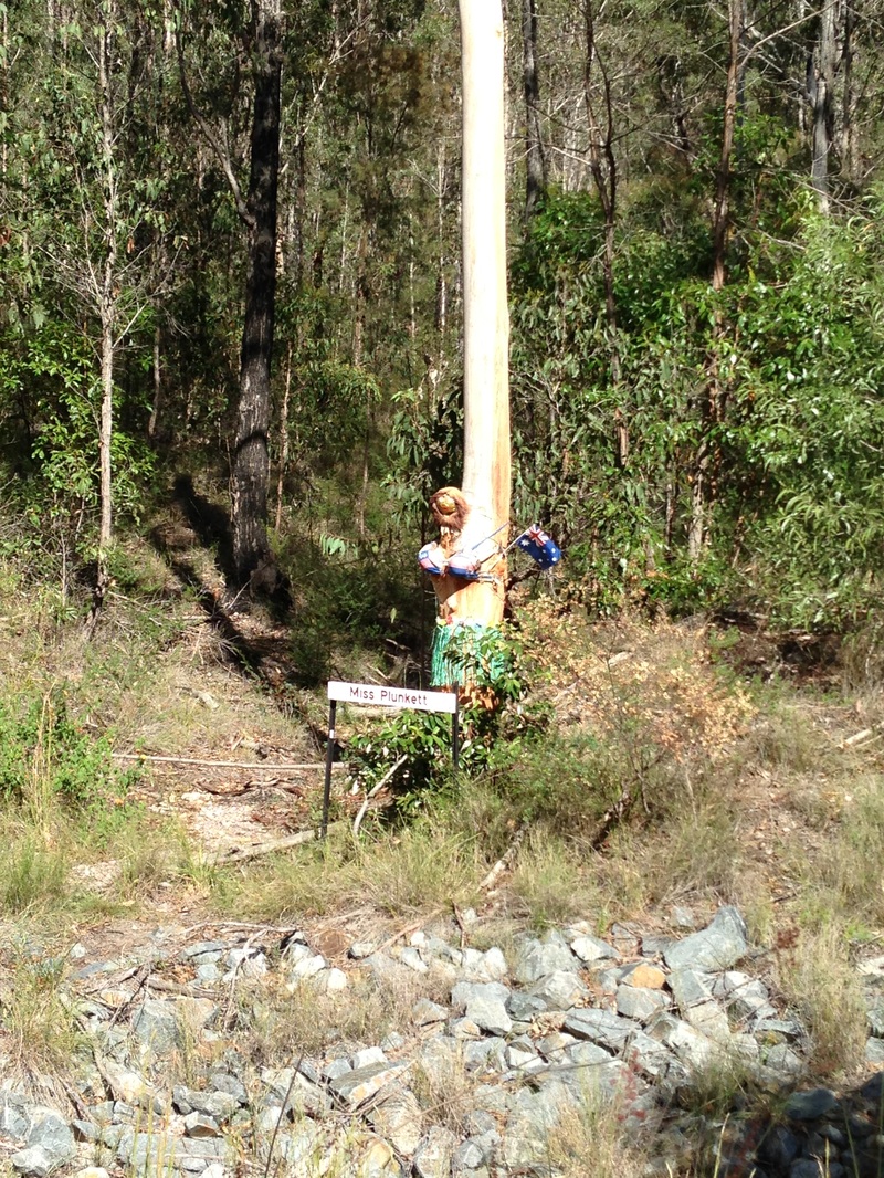
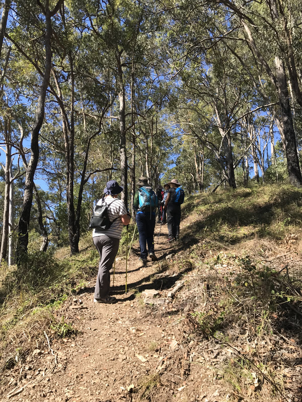 Some steep parts. | 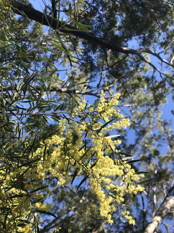 The sight and scent of wattle was marvellous. | 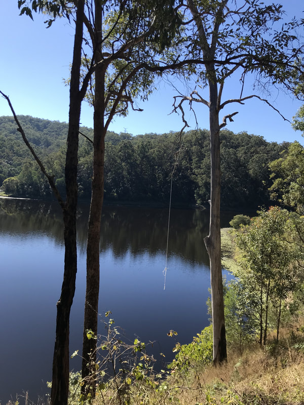 How this swinging rope was put up is a mystery. |
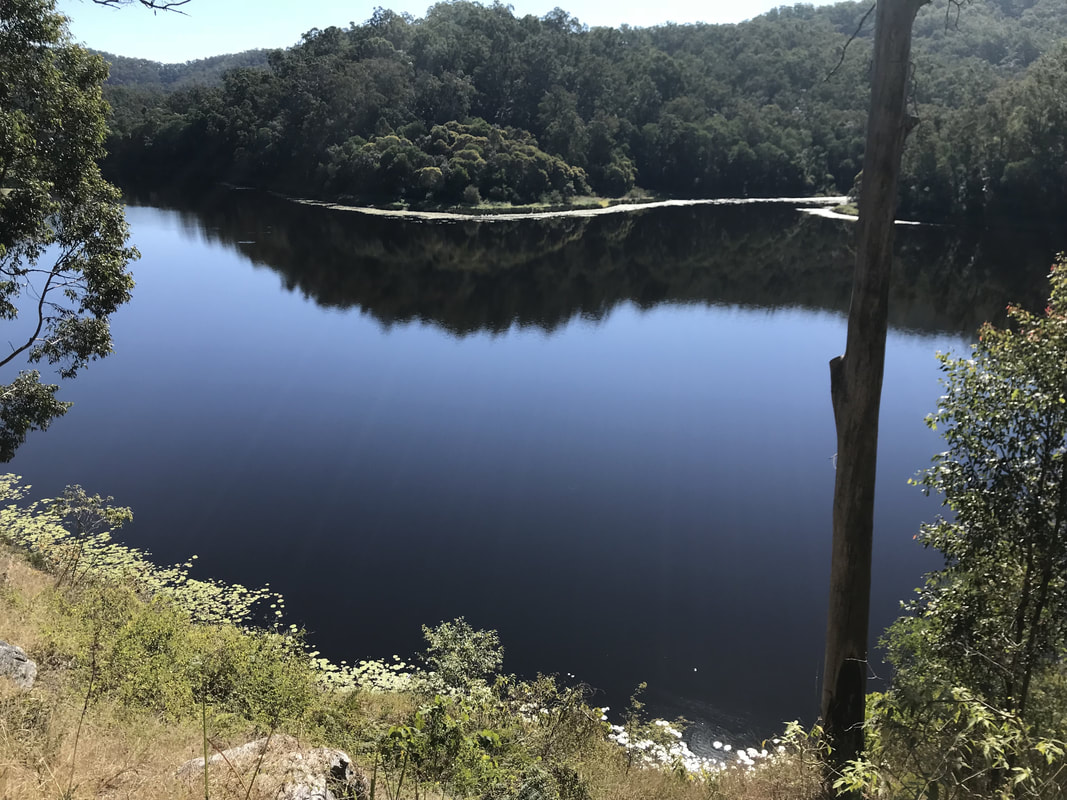
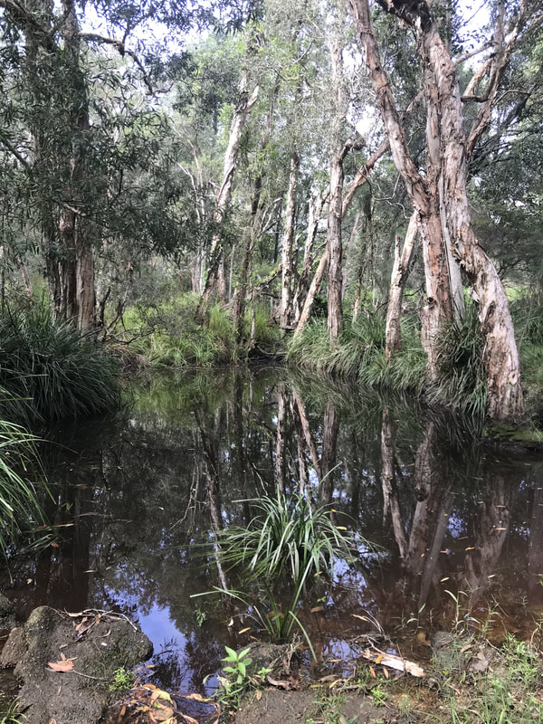
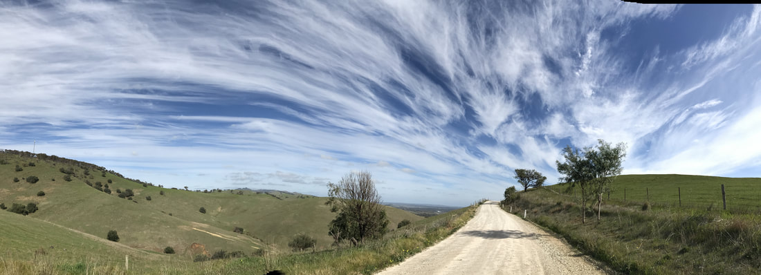
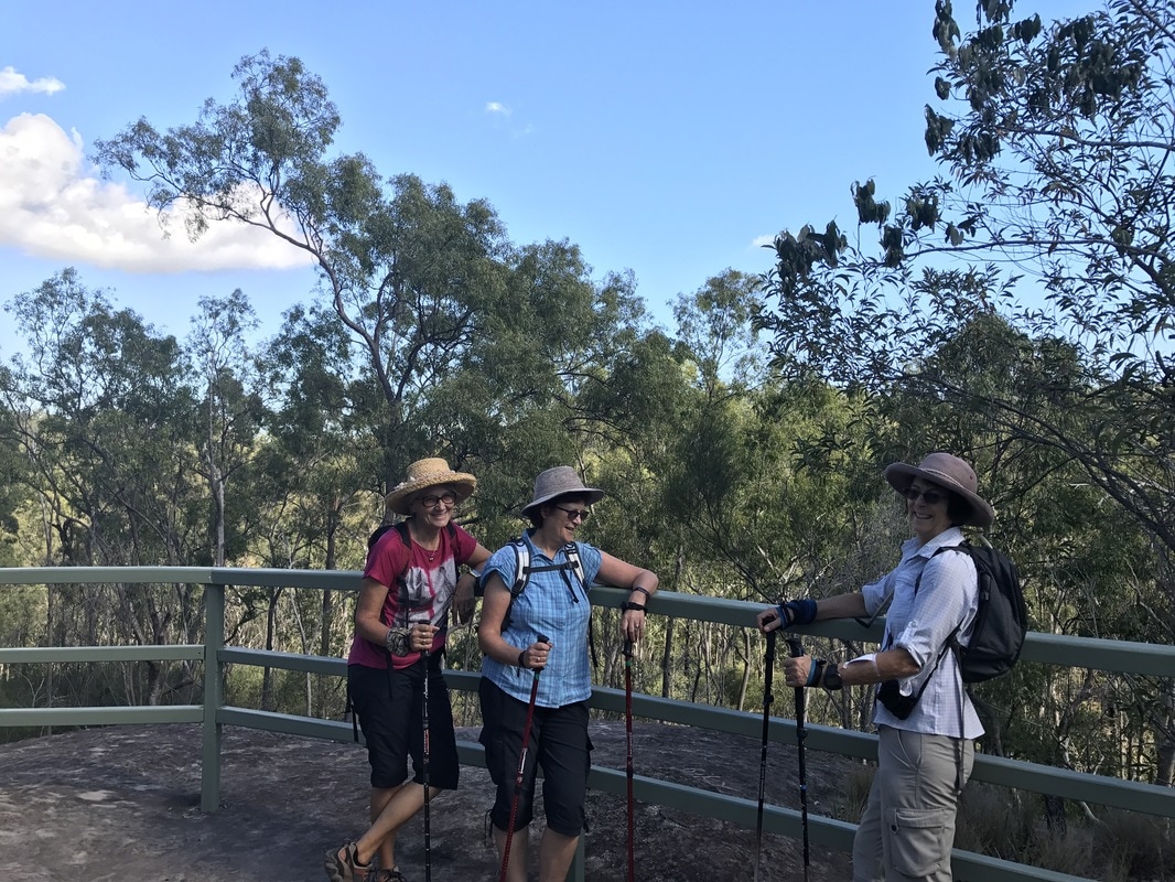
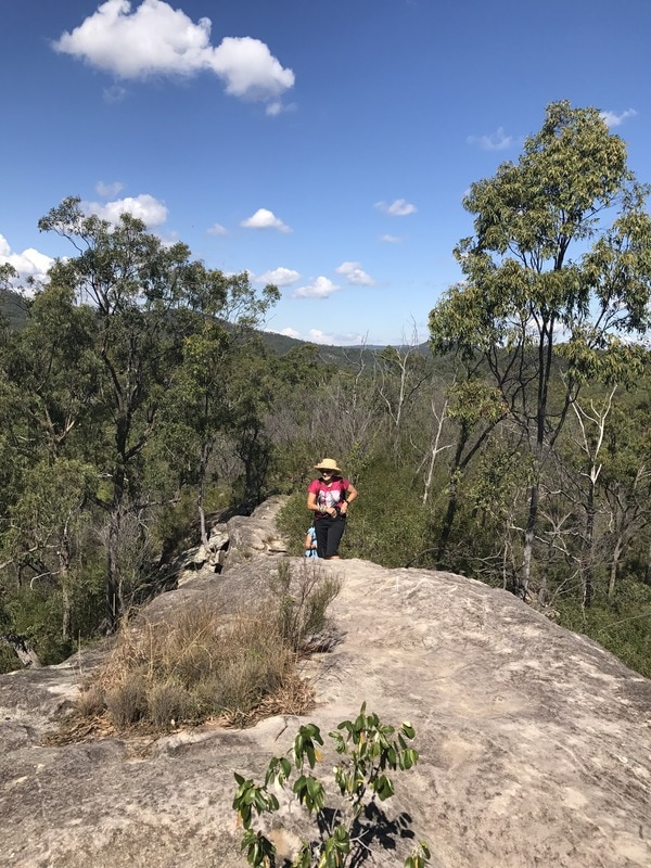
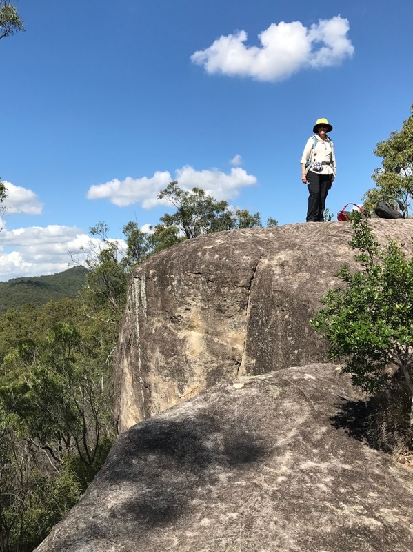
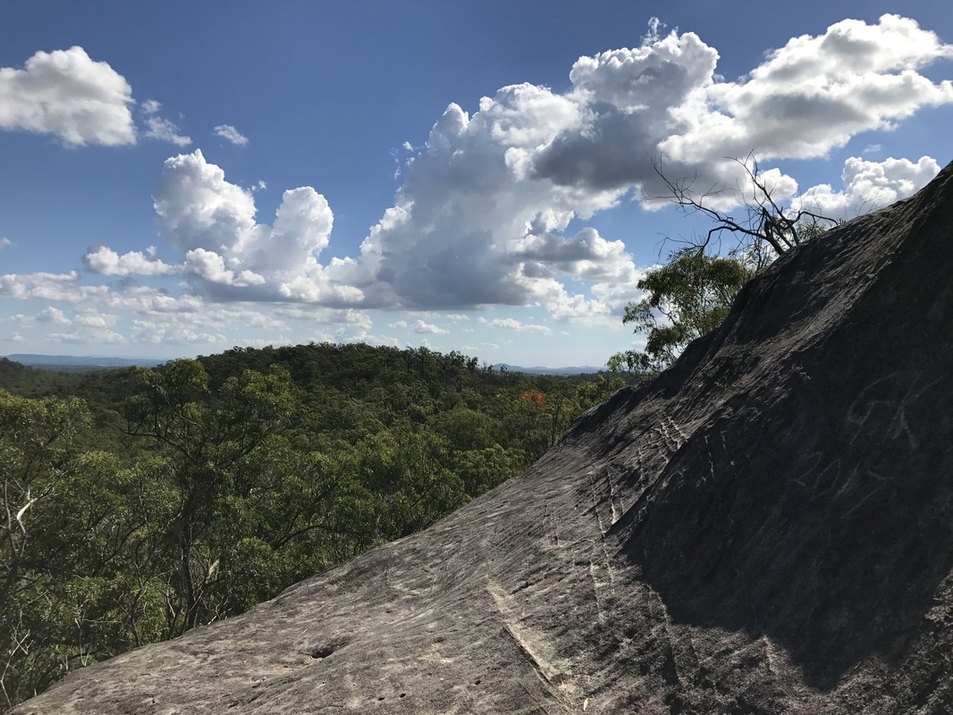
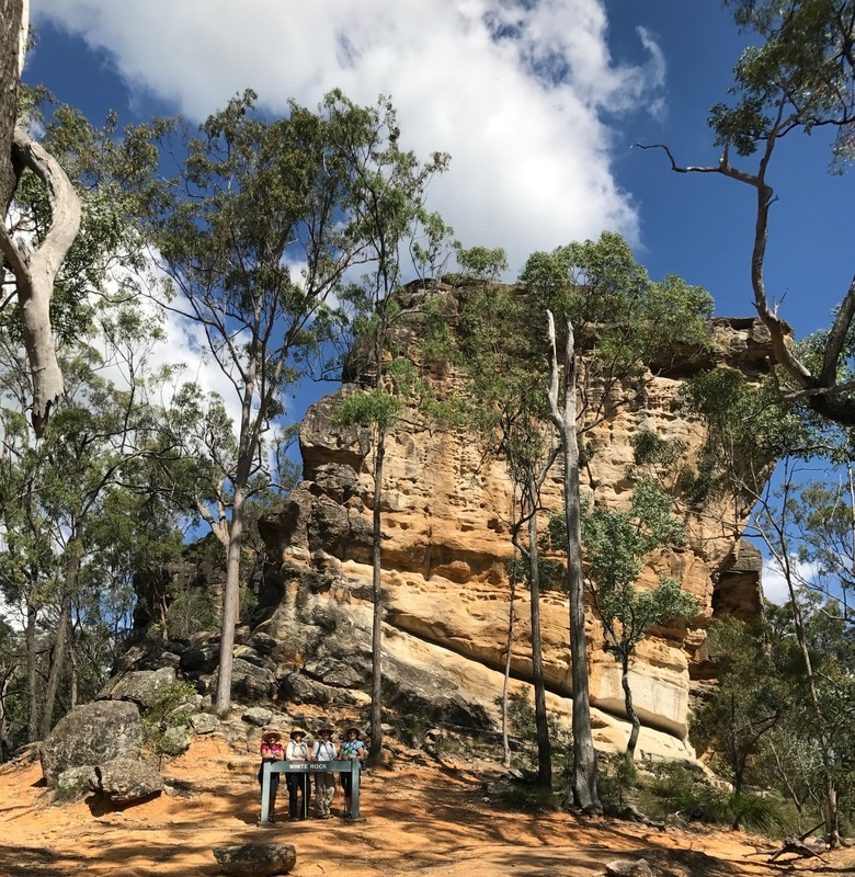
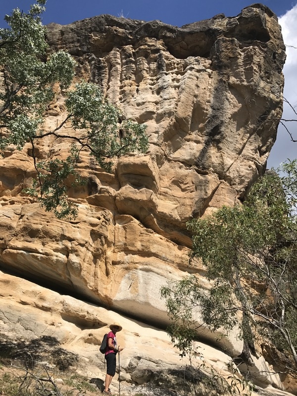
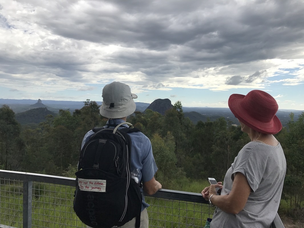
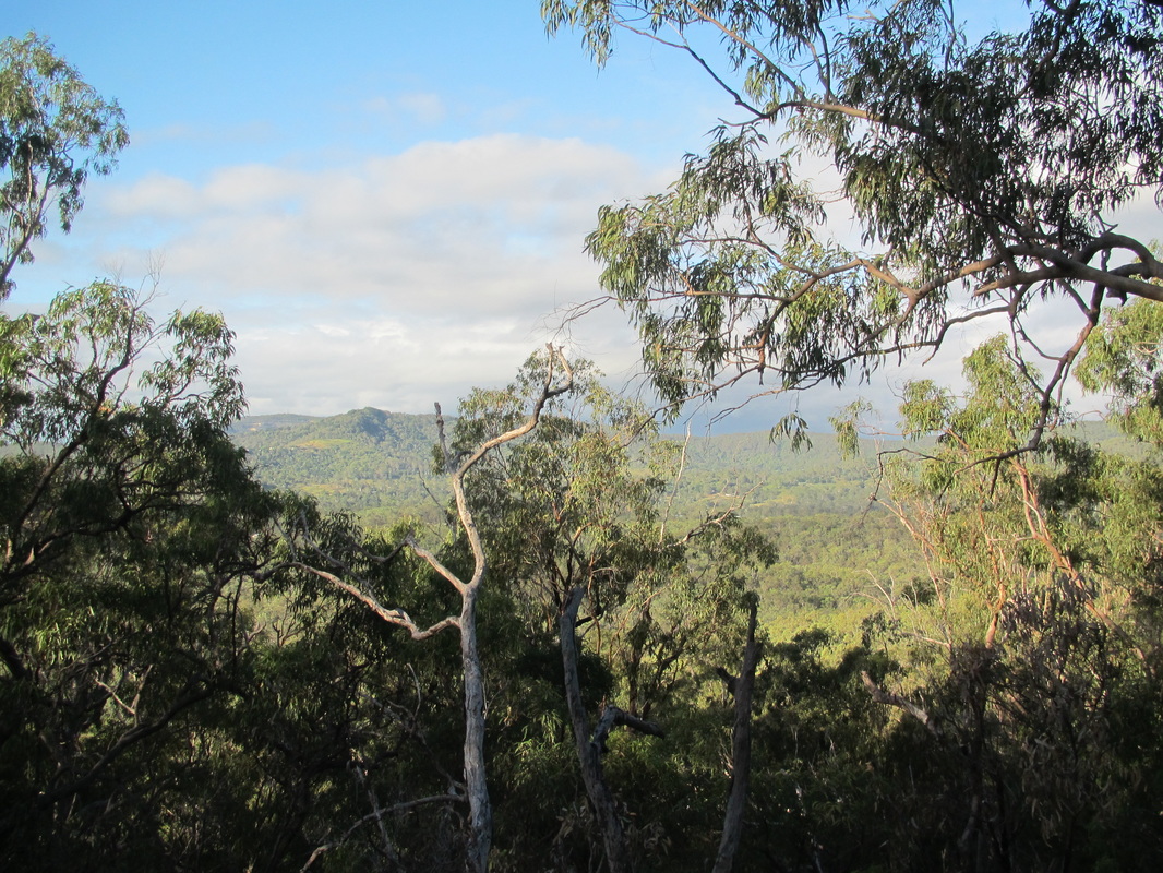
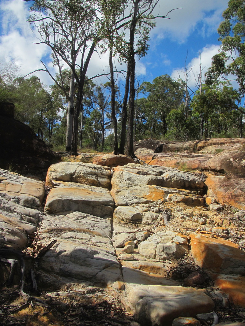
Superb lake views were worth every climb.
 |  |
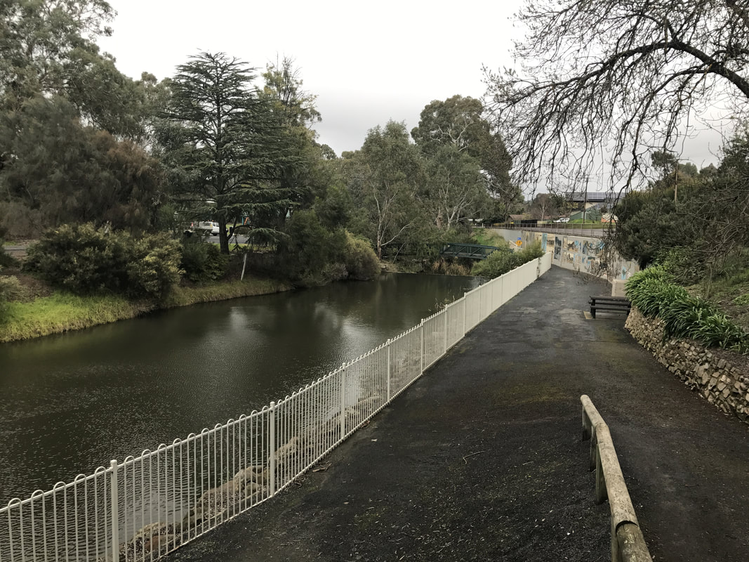
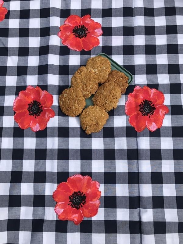
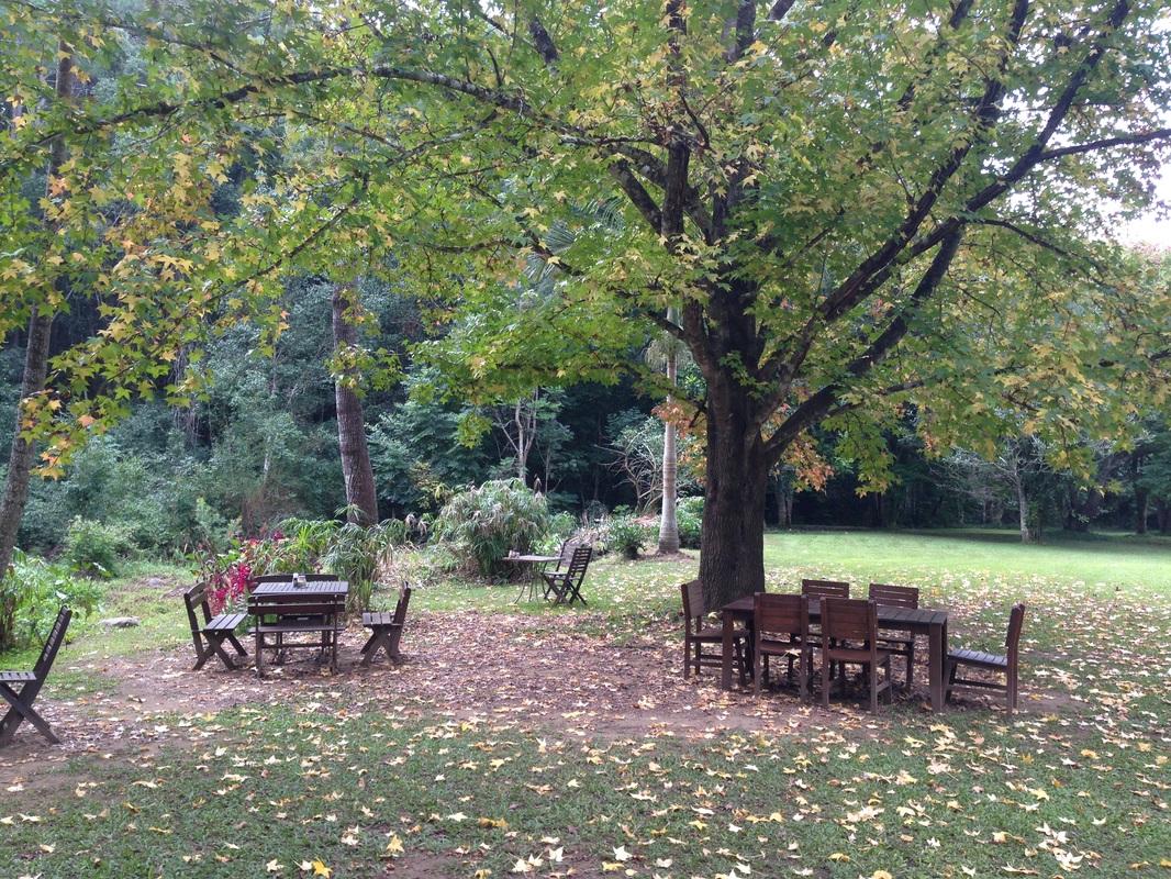
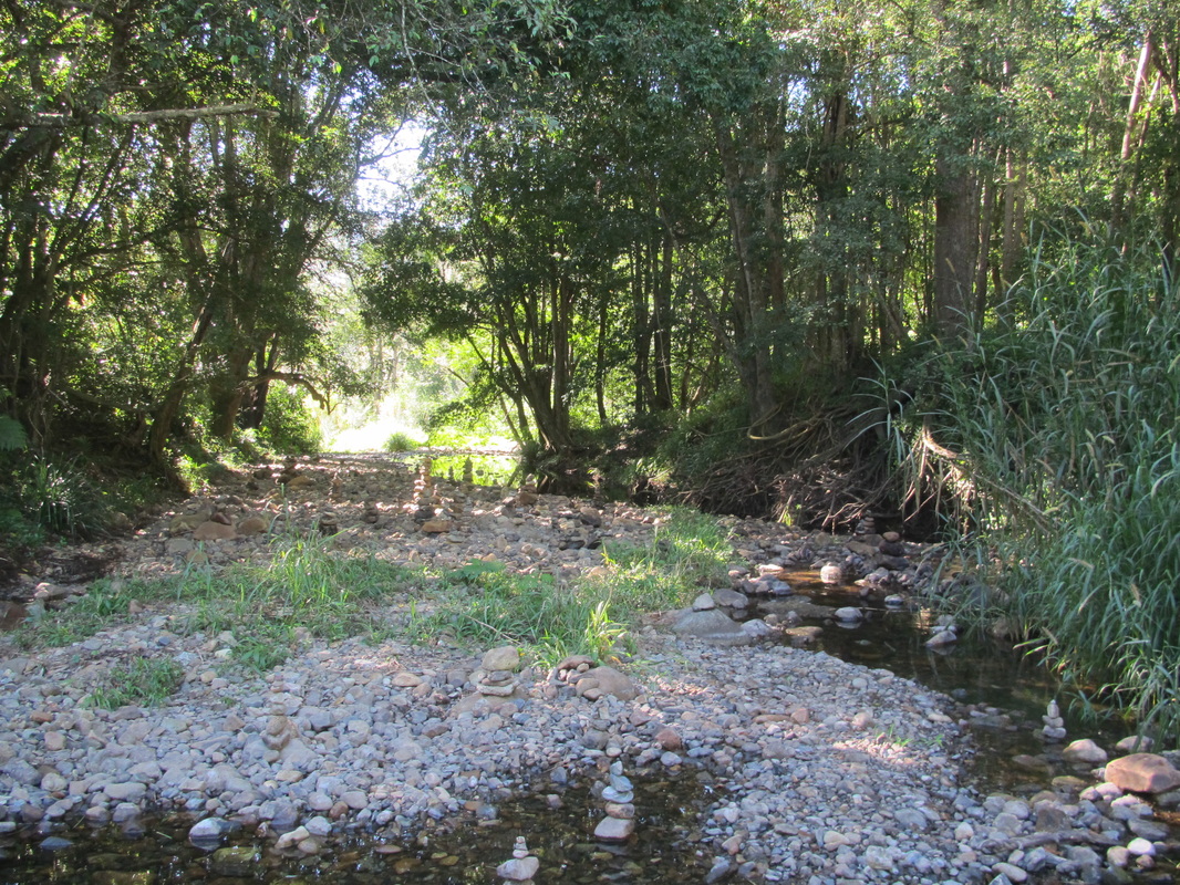
After completing the 5 kilometre circuit we had a picnic lunch, then decided to clock up another 5 kilometres by following the nearby Moggill Creek Bikeway along the river.
 Nothing like a picnic after a hike. | 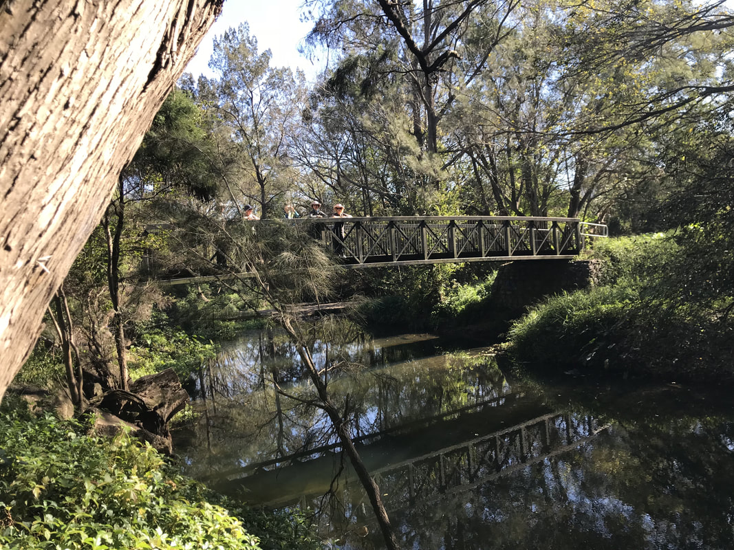 Bridge over Moggill Creek leading to a nice walk along a bikeway. |
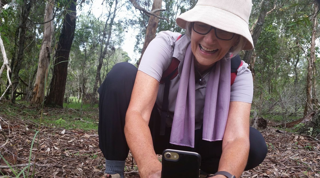
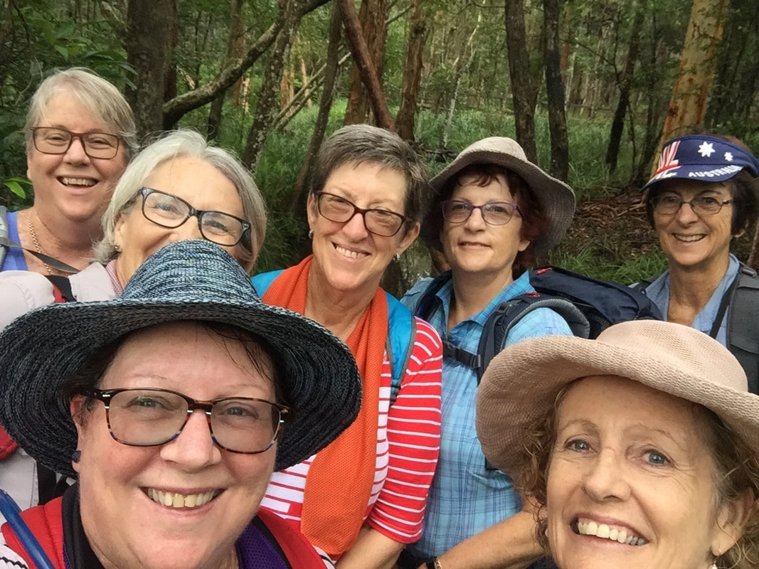
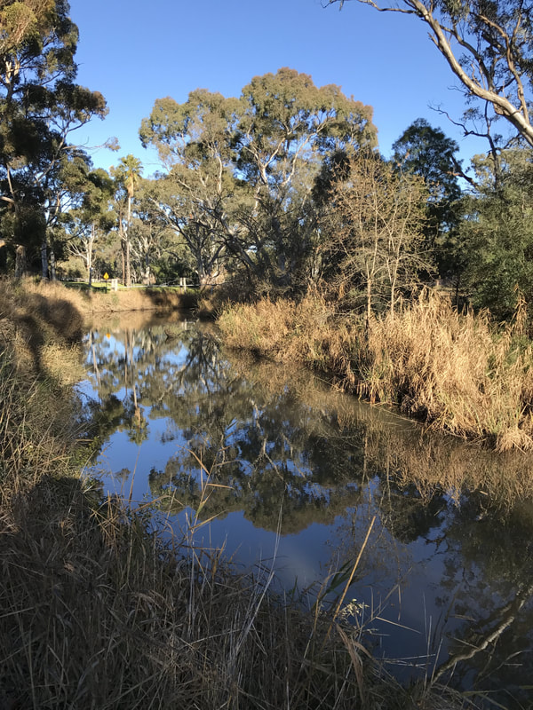
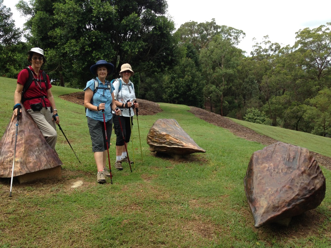
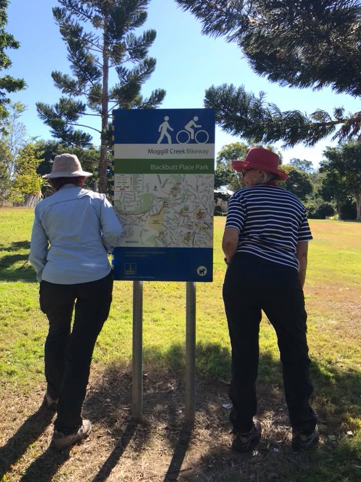 Blackbutt Place Park - we just had to pose. | 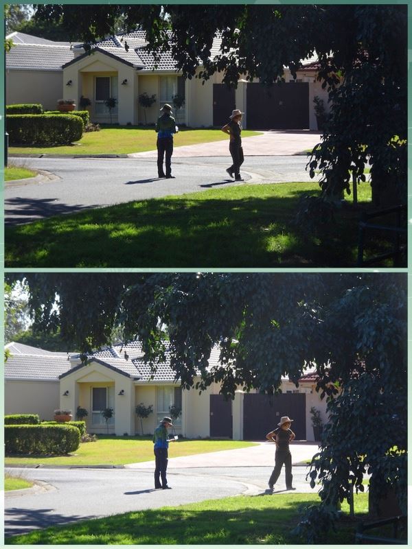 Lost on the bikeway. Lesson learnt - never let Margot lead. |
All in all, another great hiking day in perfect Qld. winter weather. Who could ask for more?


 RSS Feed
