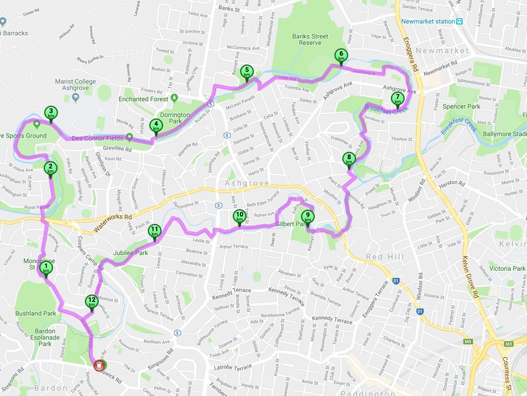
Winter in Queensland is very mild, but there is one place where temperatures drop considerably. Our walking group decided to head to higher elevation on the Darling Downs for a few days of hiking, fine wine and good company. The cool, high country of the Granite Belt is located on Queensland's southern border. We ascended the Great Dividing Range through Cunningham's Gap, then by Warwick and Stanthorpe and Ballandean, where we had rented a lovely house, alone on top of a high hill with magnificent views.
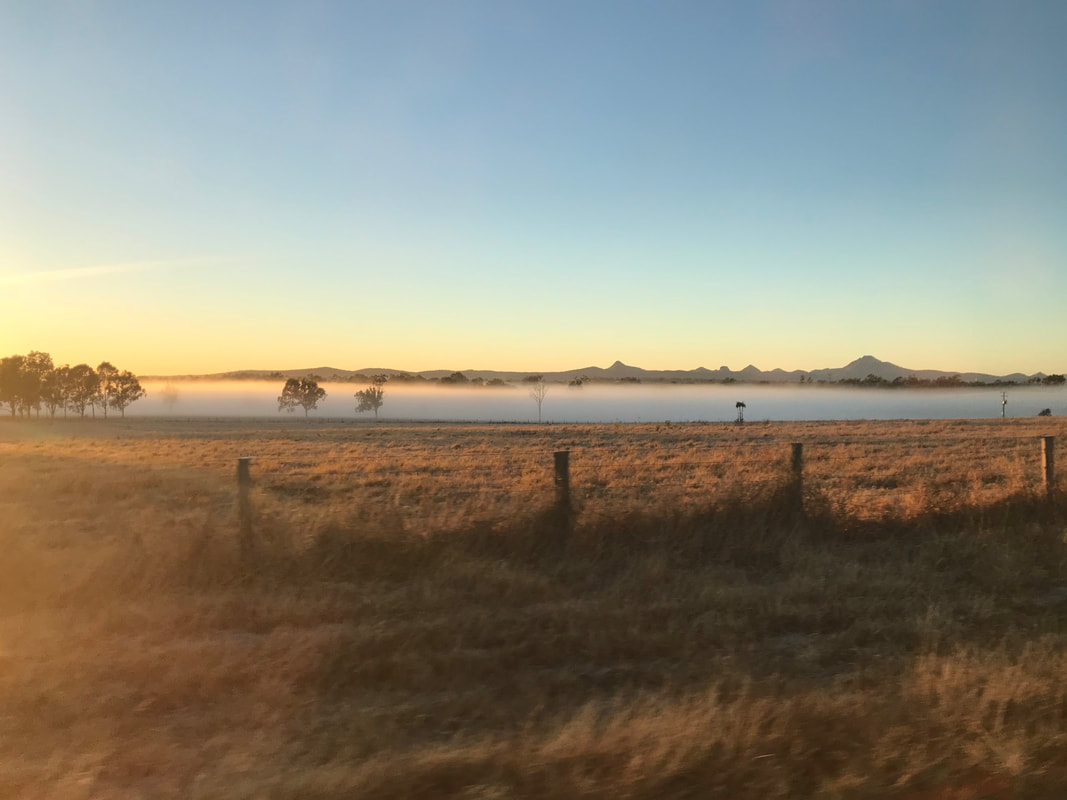
On the road to Stanthorpe and the day looks gorgeous.
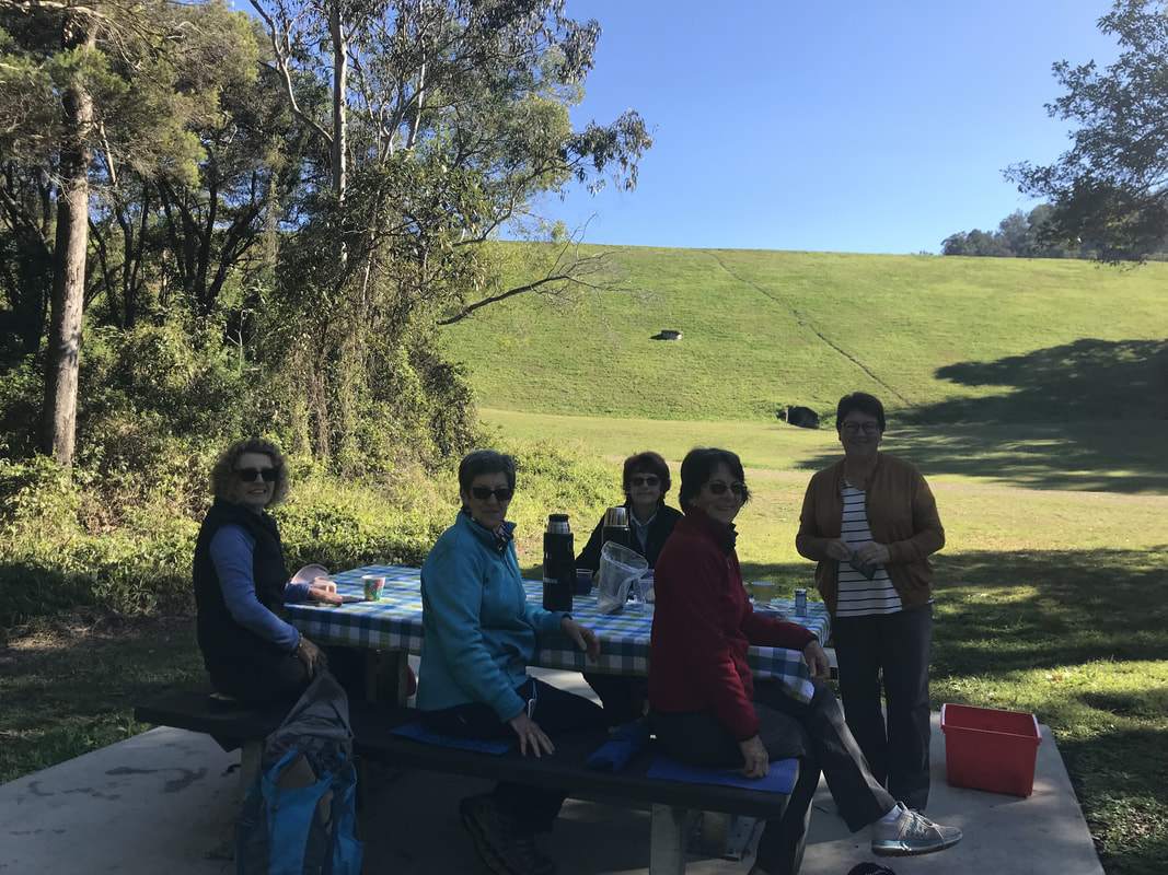
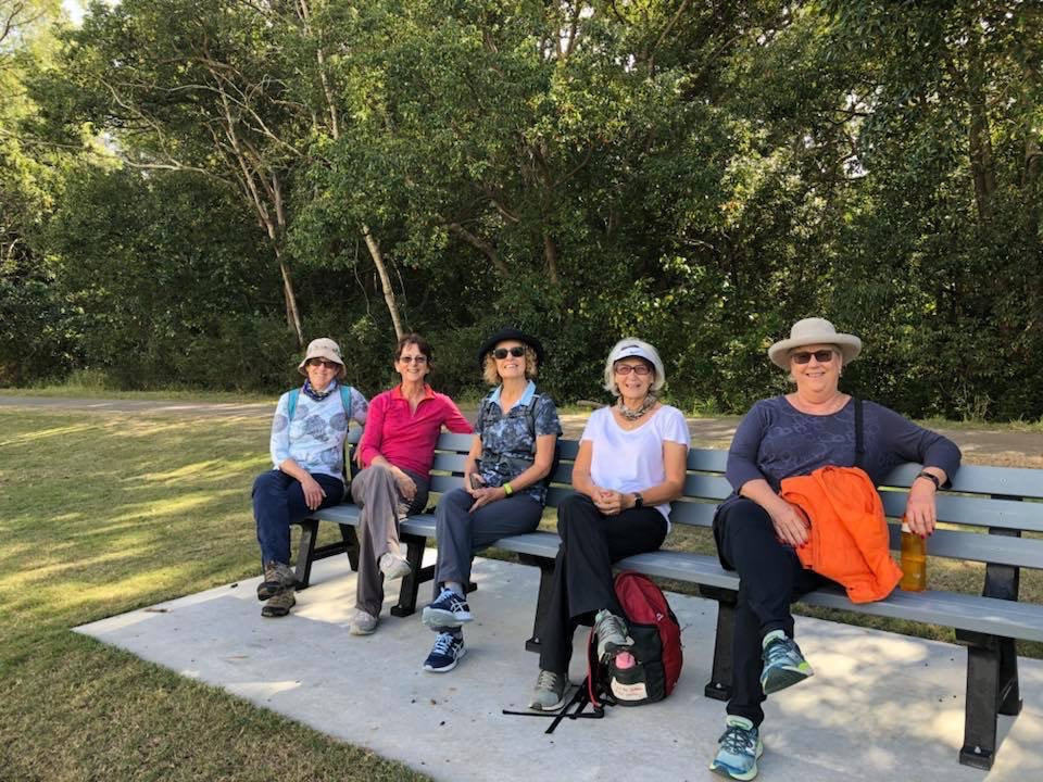
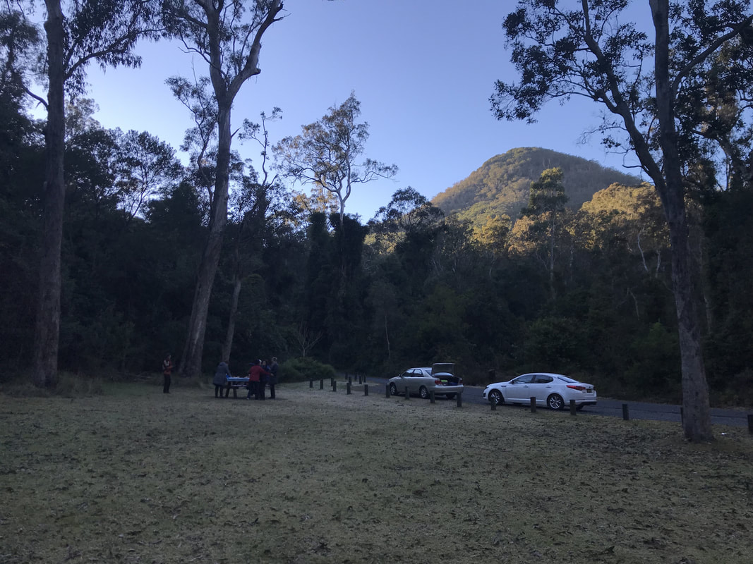 We stopped for breakfast at Cunningham's Gap. | 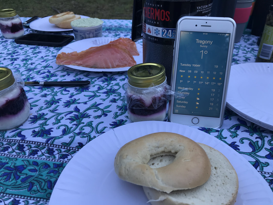 A chilly 1 degree was invigorating and the breakfast supplied by Leanne was fine dining at its best. |
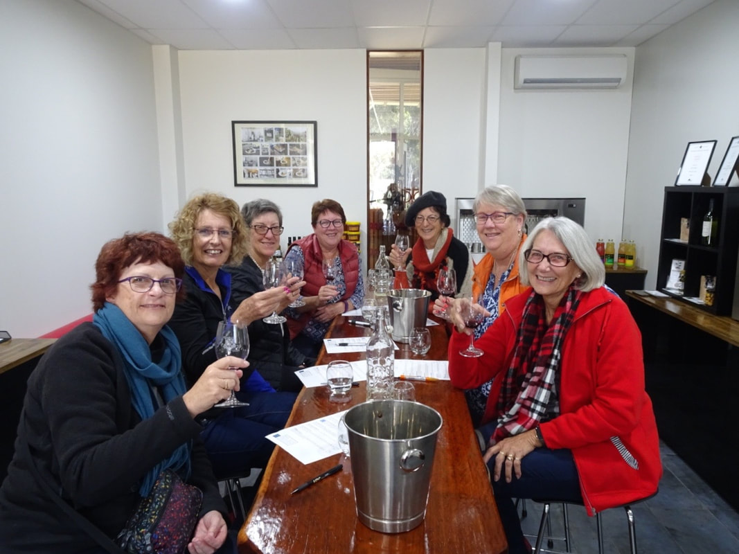
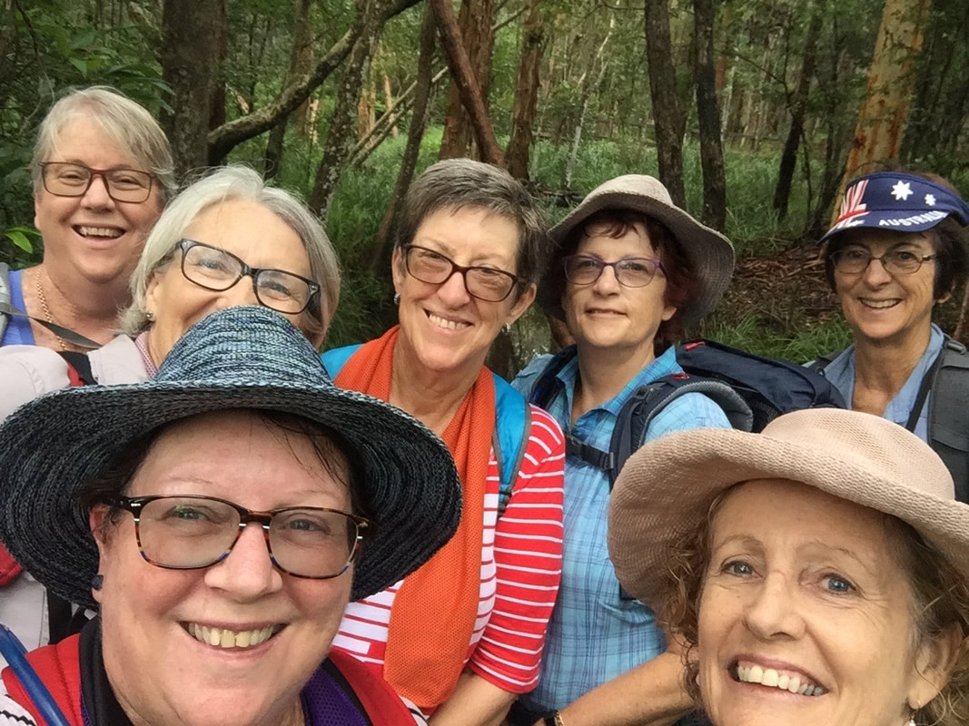
As we could not check in to our accommodation till afternoon, we parked our cars at the property entrance and took a wine tour for the day. We were the only seven on the tour and were able to pick and choose the places we visited. The mix of wineries and artisan businesses made for a fantastic day of sampling a wonderful variety of delicious tastes.
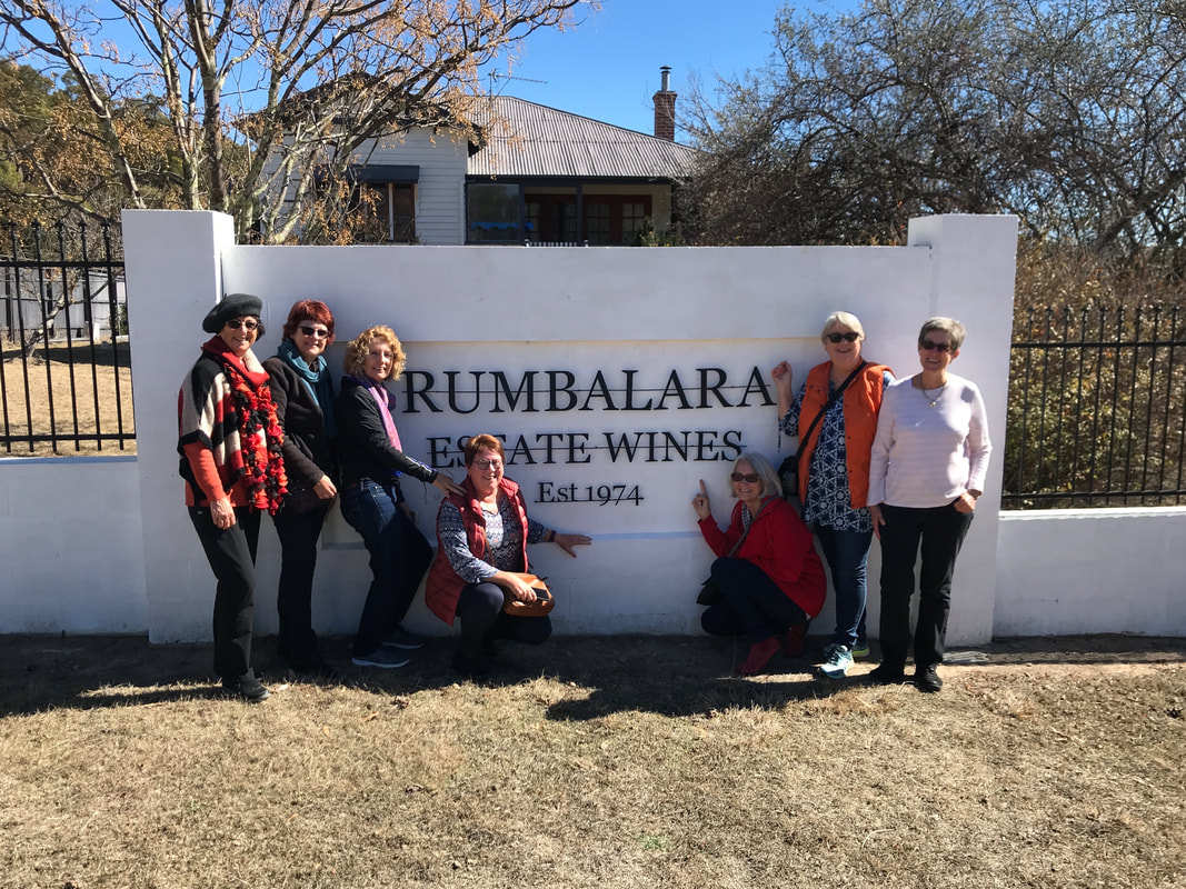 Rumbalara Winery - our first stop. | 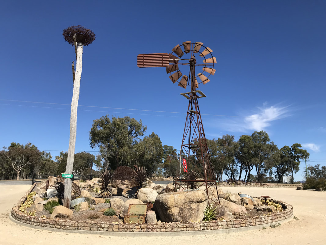 The Jam Pantry - stop number 2 and the sky is blue. |
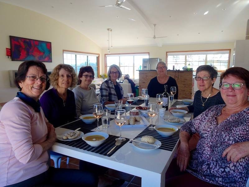
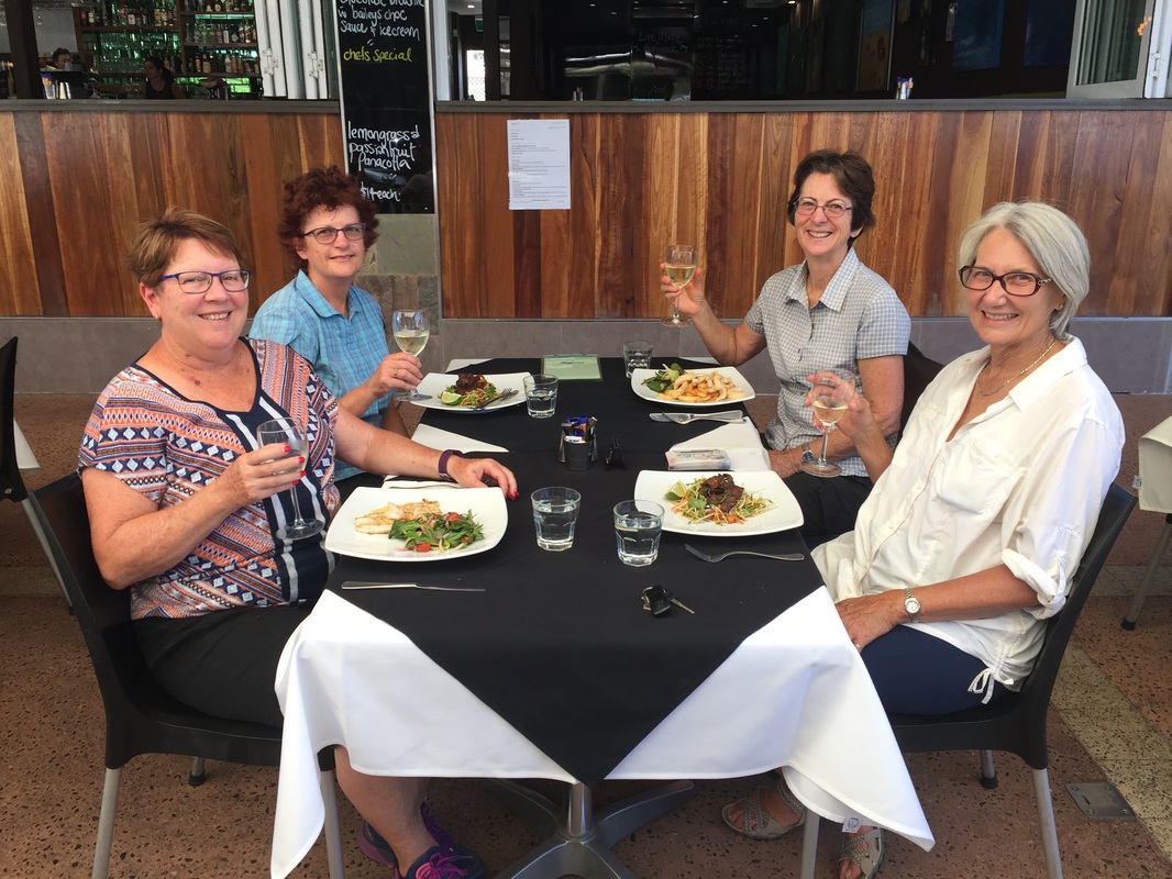
Our drivers had organised lunch at Varias Restaurant. The Award Winning Varias Restaurant, Conference and Function Centre, together with the Banca Ridge Vineyard and Cellar Door, is incorporated into the Queensland College of Wine Tourism. In partnership with the University of Southern Queensland, Stanthorpe State High School and 27 other Gateway Schools, the College provides training from secondary to tertiary levels in viticulture, oenology, tourism, hospitality and business. We were delighted to help in the education of our state's young people.
 We started at the cellar door before retreating to the restaurant next door. | 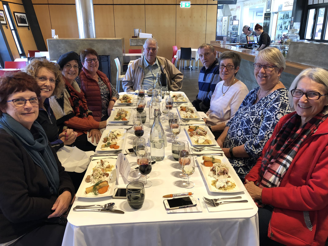 Feasting on a modern Australian menu constructed from local ingredients. |
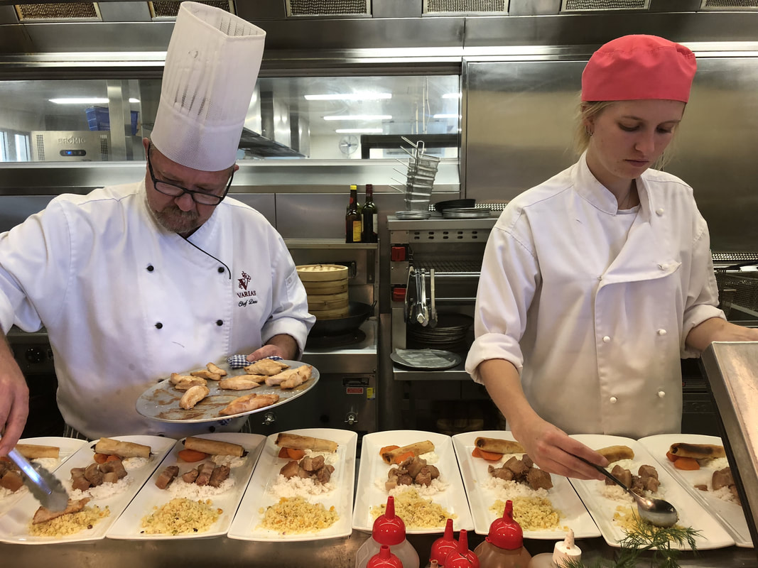 Plating up. | 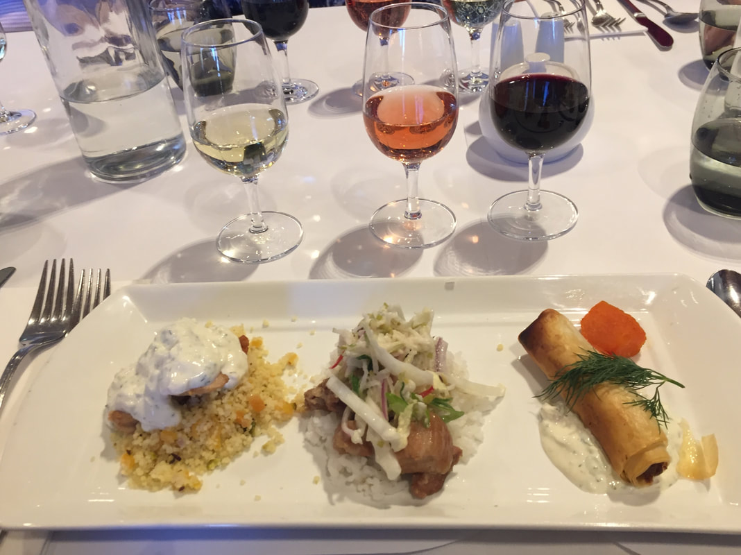 Food and wine paired perfectly. |
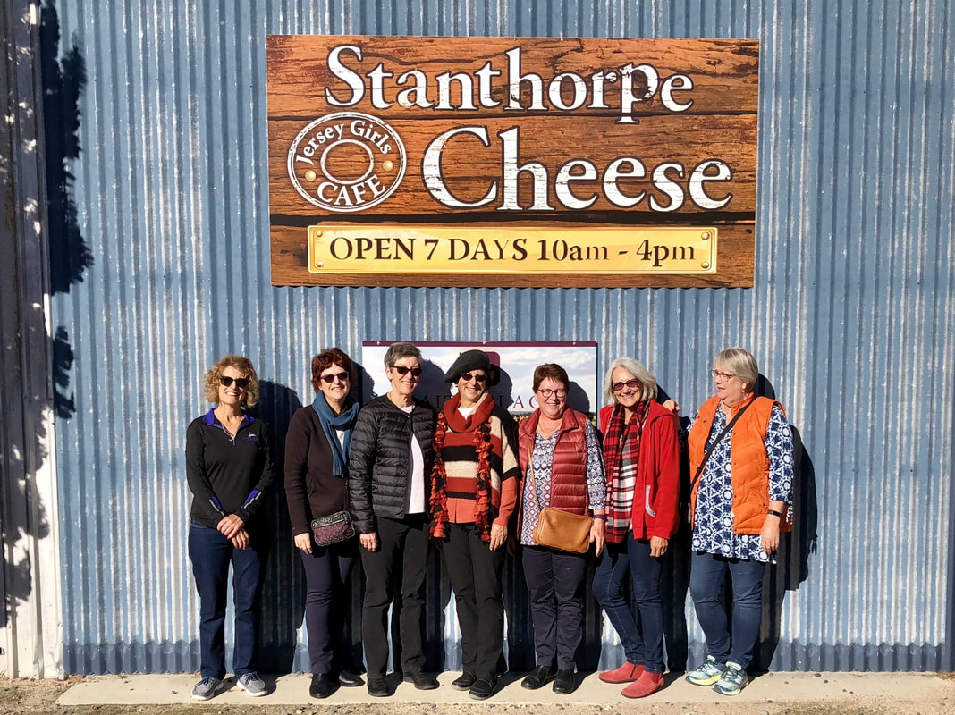
Say cheese! Another stop that had us smiling with delight.
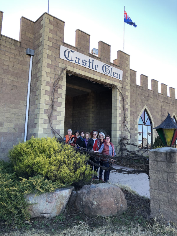 Posing at Castle Glen Winery. | 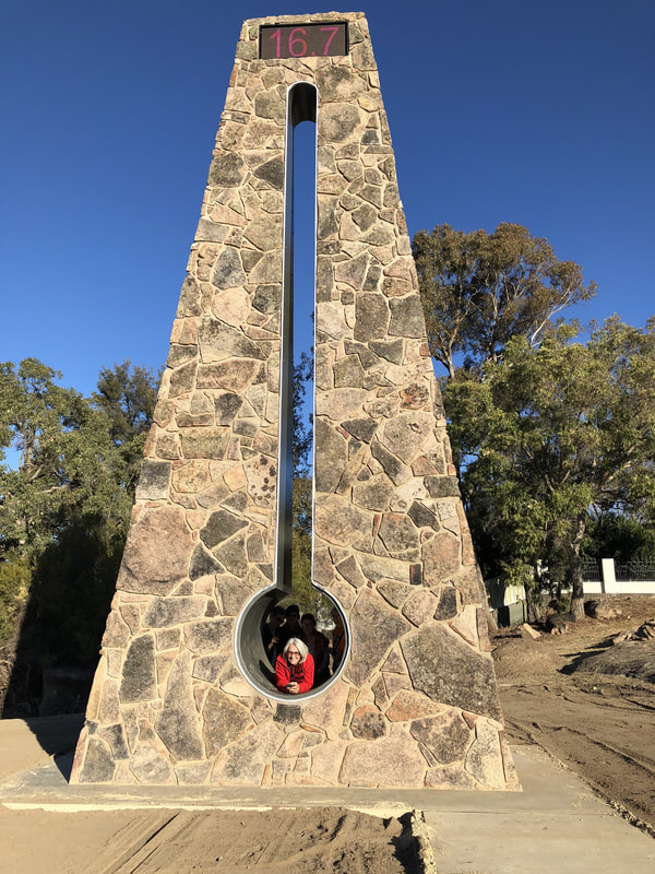 The Big Thermometer in Stanthorpe. |
Before heading home we made a stop to see Stanthorpe's newest tourist attraction. Queensland's coldest town has celebrated its title by unveiling the Big Thermometer. It is set in Rotary Park and is so new its surroundings are still being landscaped.
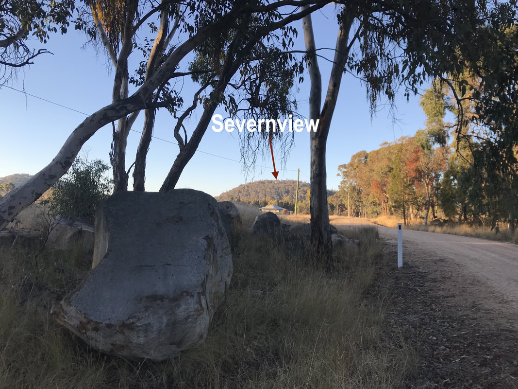 Severnview is perched high on a hill. | 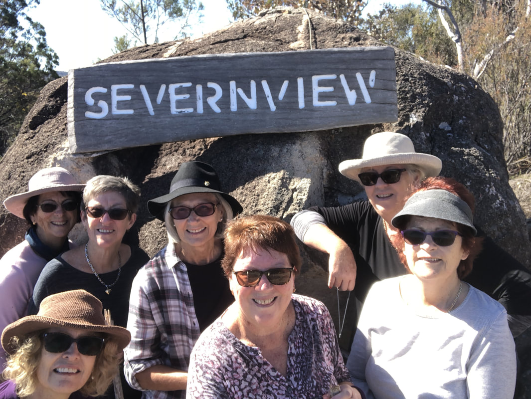 Entrance to our home for 2 nights - Severnview. |
After our delicious day of touring local wineries it was time to settle in to our new digs. The house was big and warm, surrounded by bushland and gorgeous views.
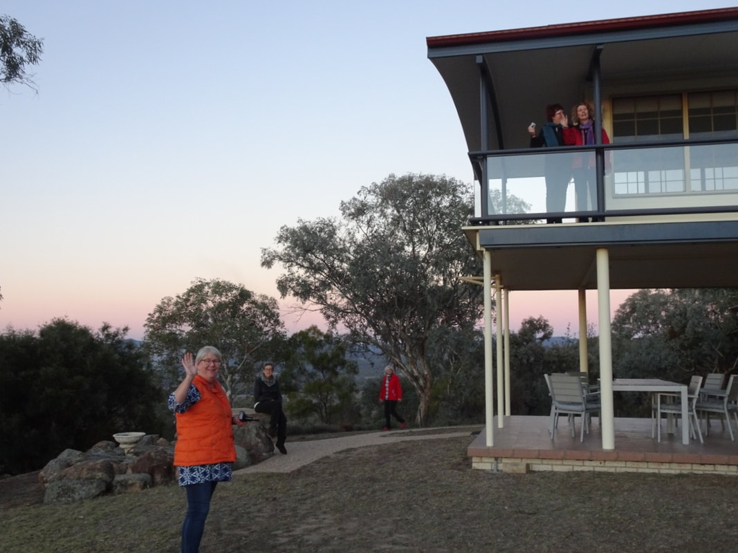 The initial inspection made us happy. | 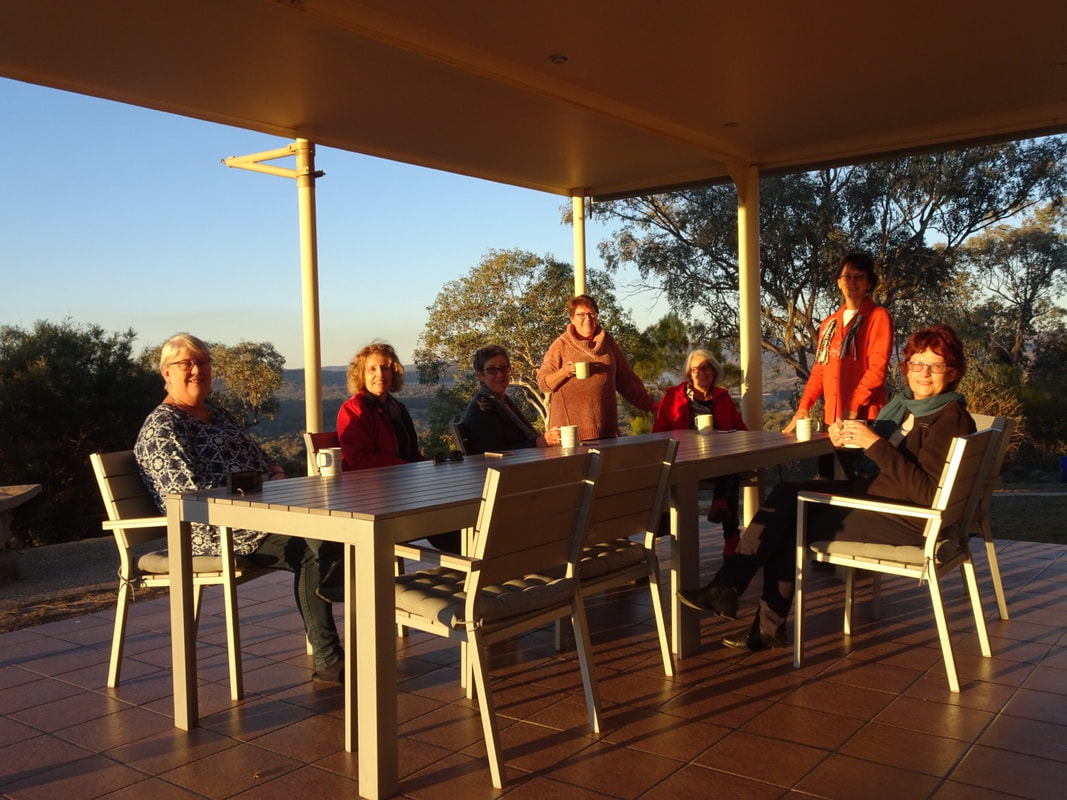 Coffee on the patio as the sun set. |
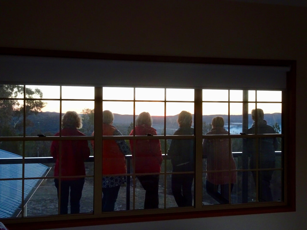
Such peaceful views.
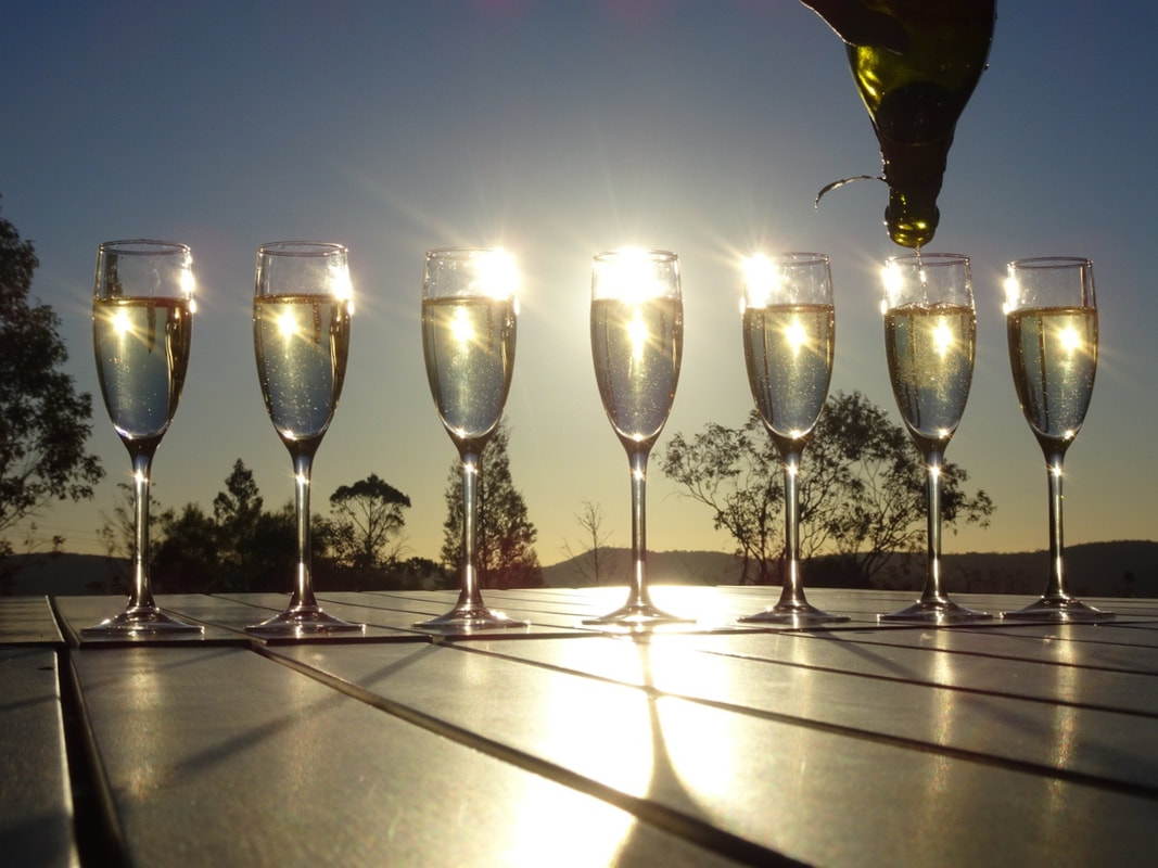
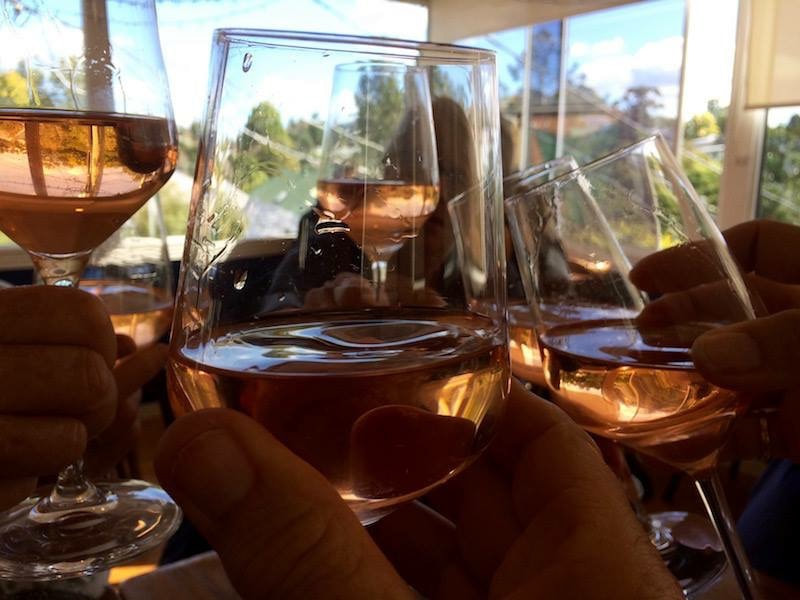
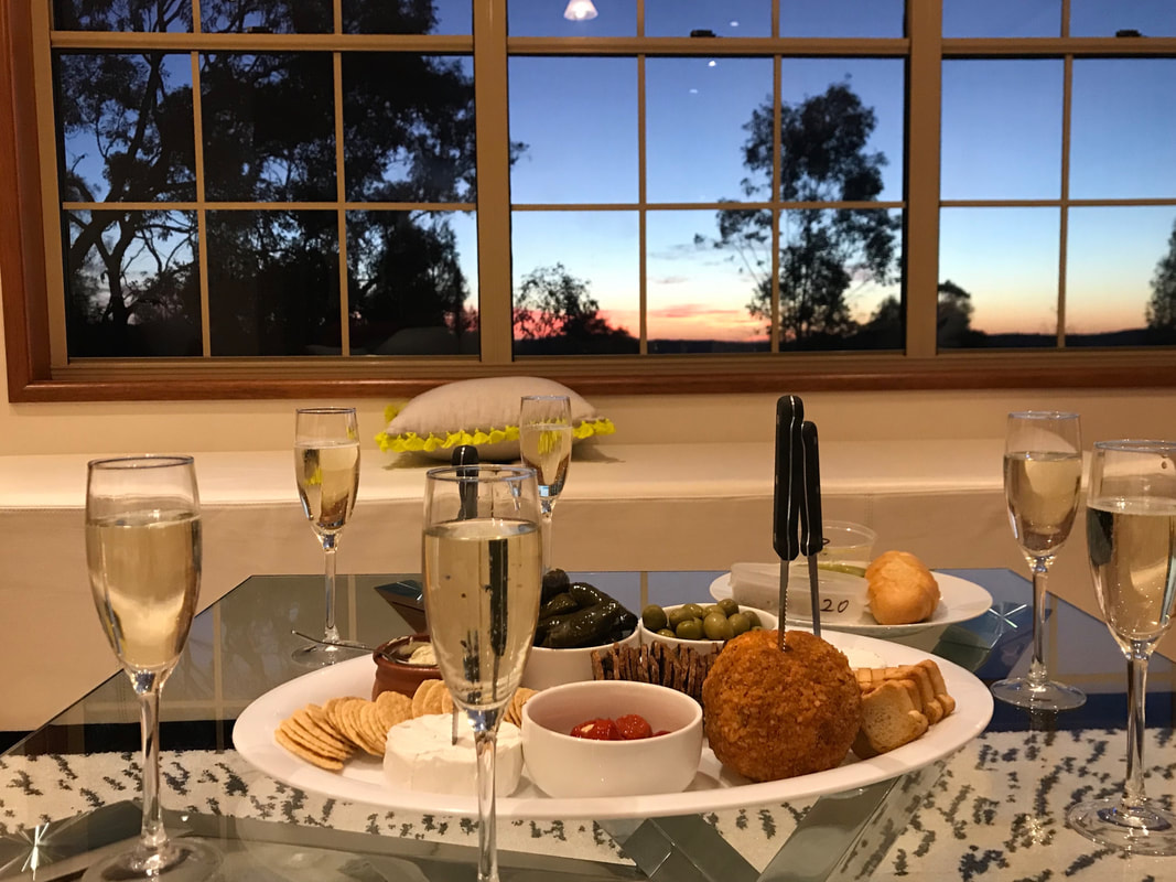 Time for evening drinks. | 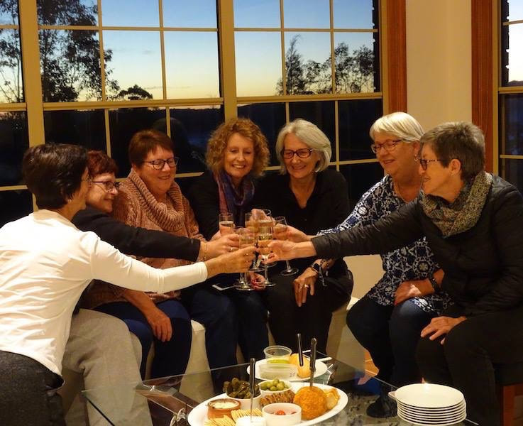 Cheers to a great first day on the Downs. |
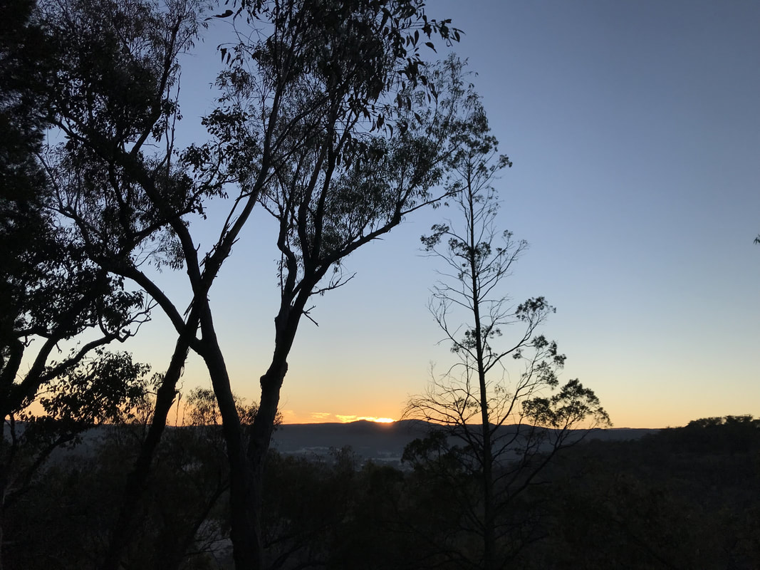
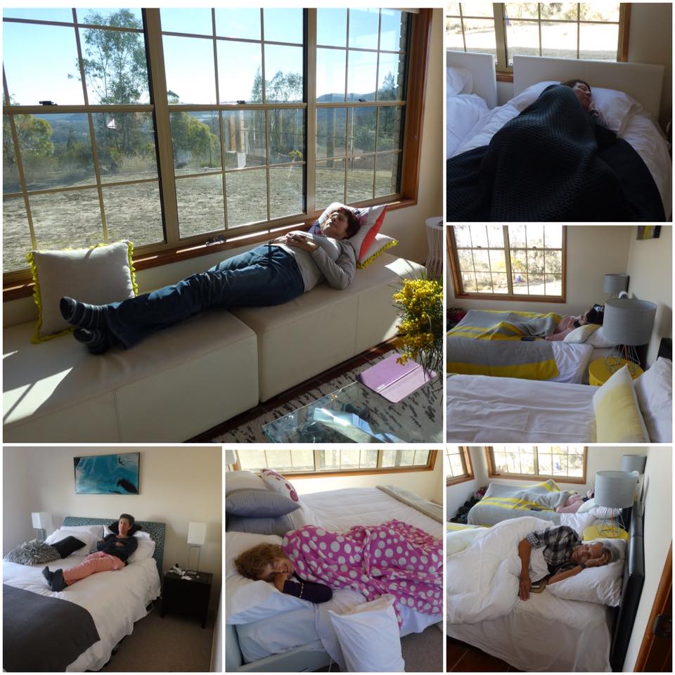
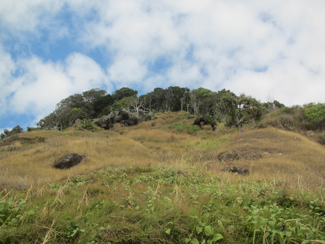
After all our eating and drinking and touring, we had an early night, retreating to very comfortable beds. While some of us continued to enjoy the comfort of our warm beds next morning, Helen and I braced the -4 degrees dawn and walked to the top of the hill to enjoy sunrise.
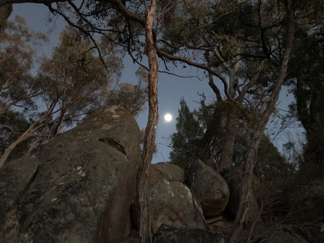
The moon lit our way before dawn.
 Sunrise | 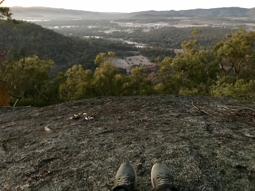 A frosty view below. |
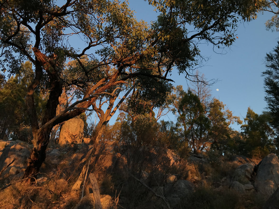
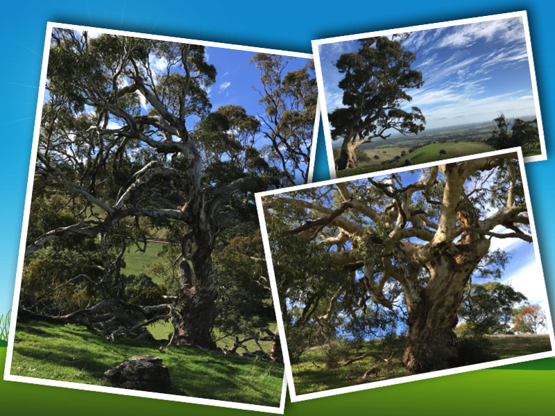
Beautiful early morning sunlight hits the bush.
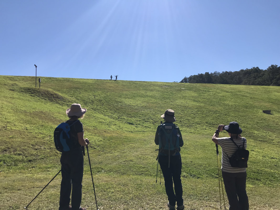
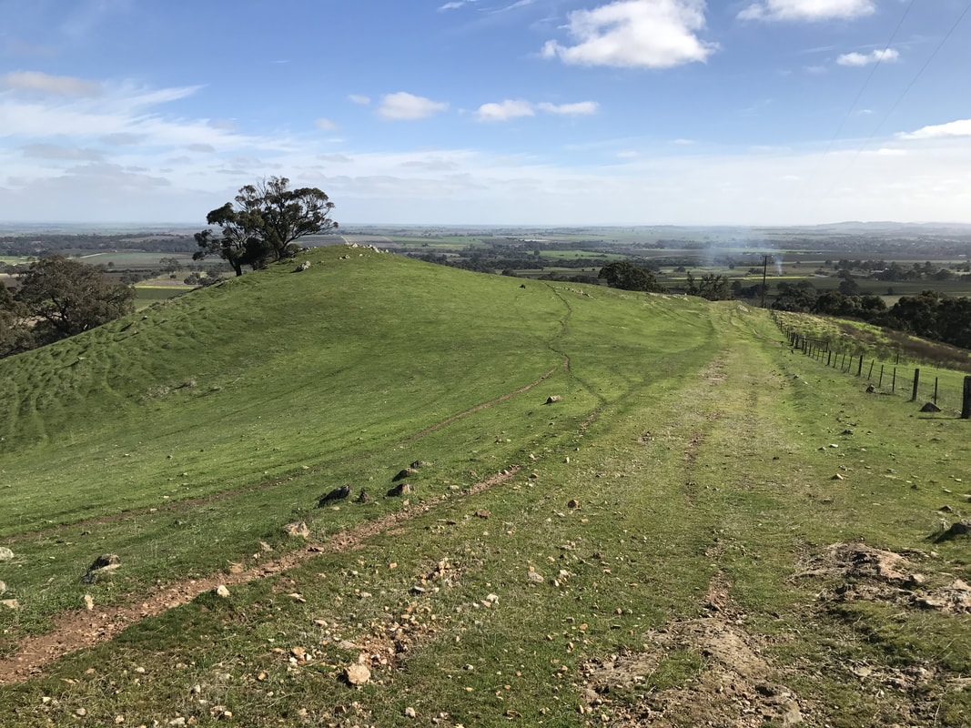
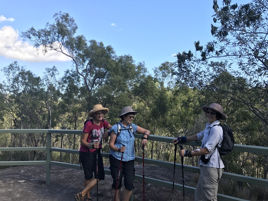
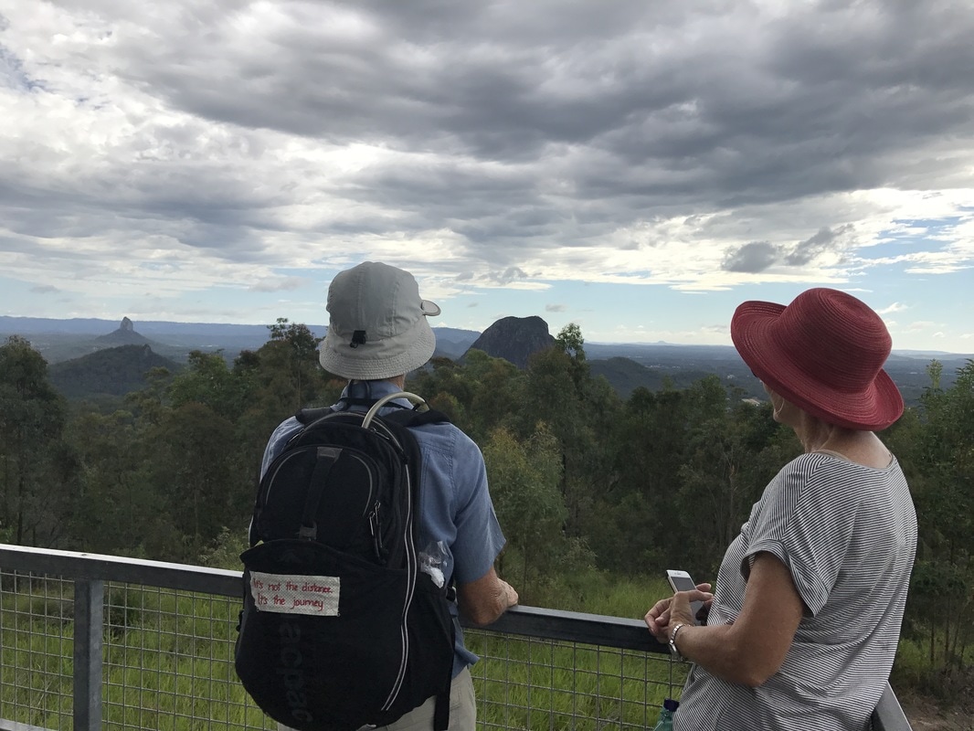
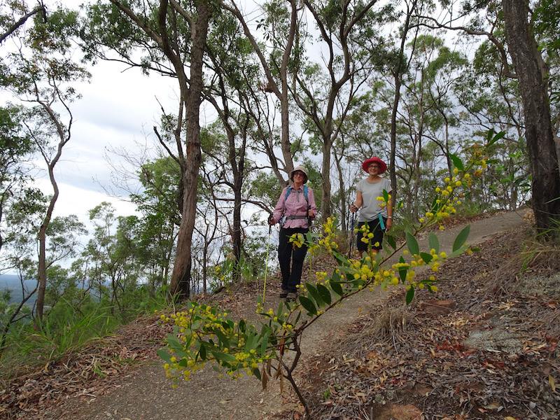
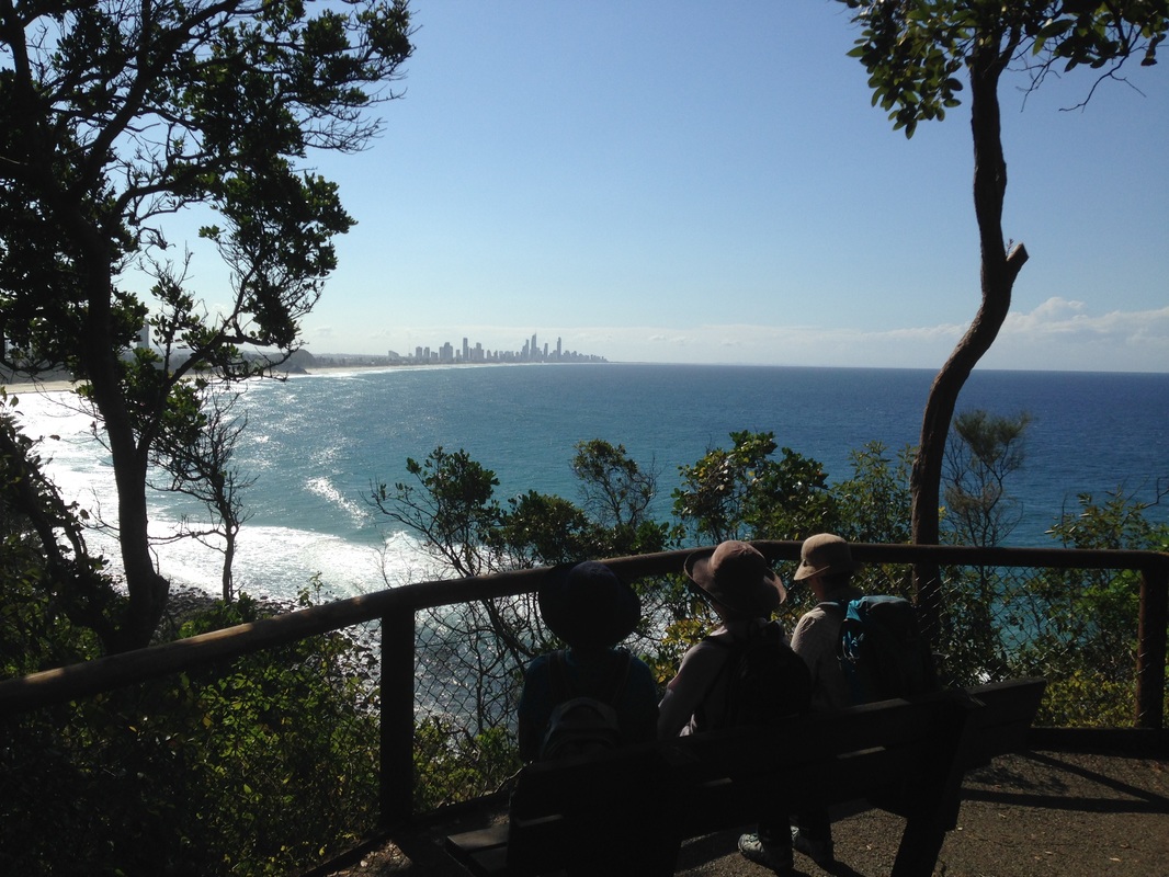
After breakfast, we redid this walk with the others and enjoyed the view in a whole different light.
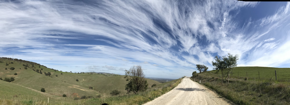
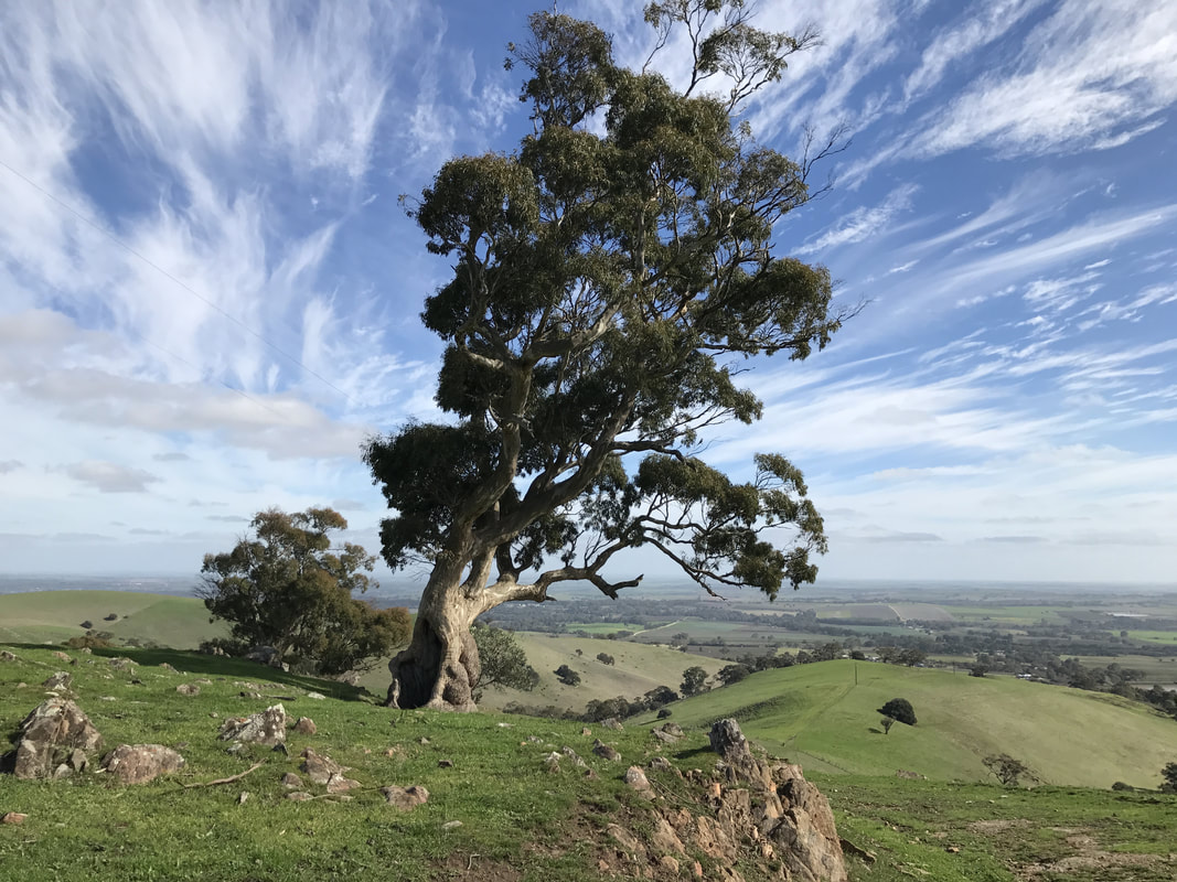
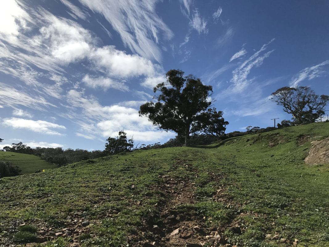
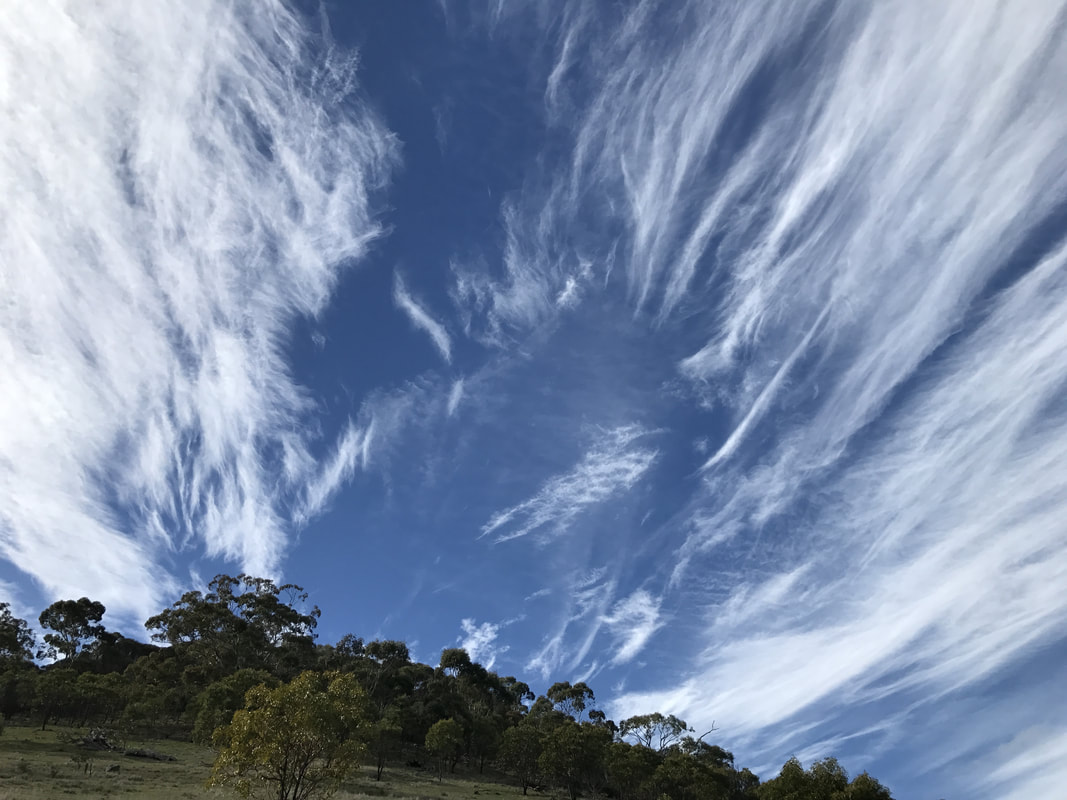
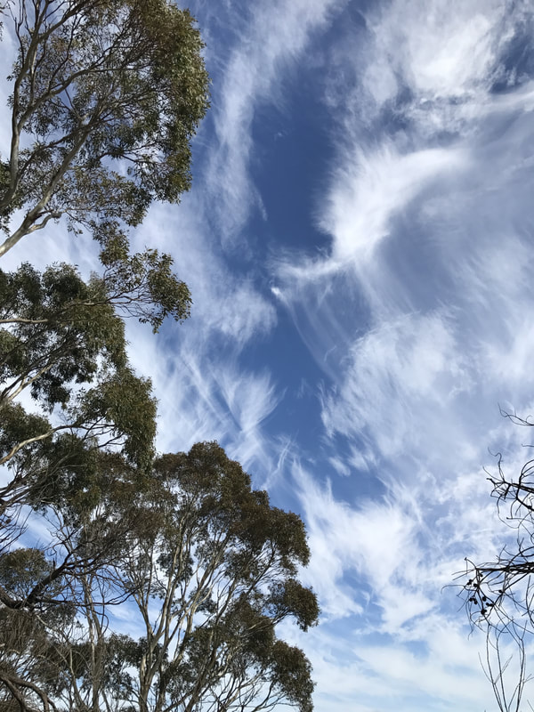
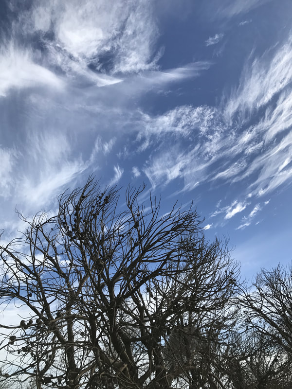
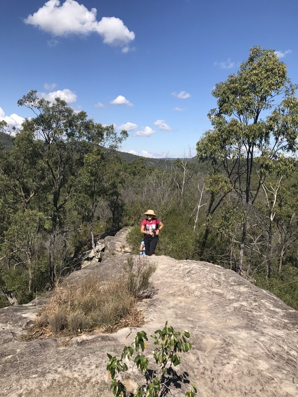
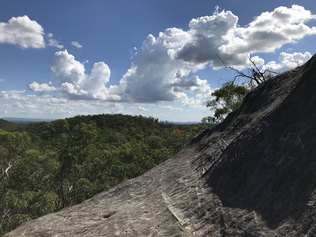
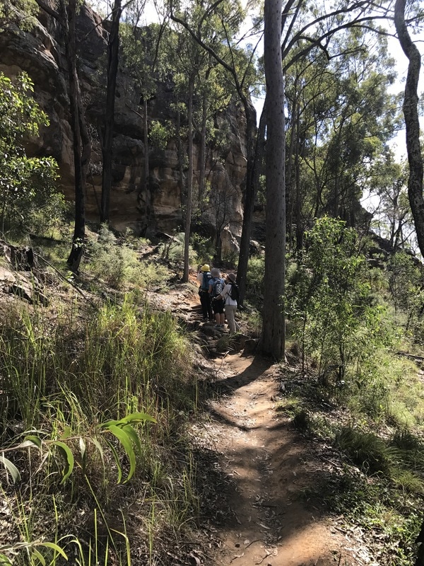
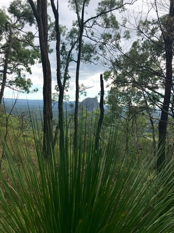
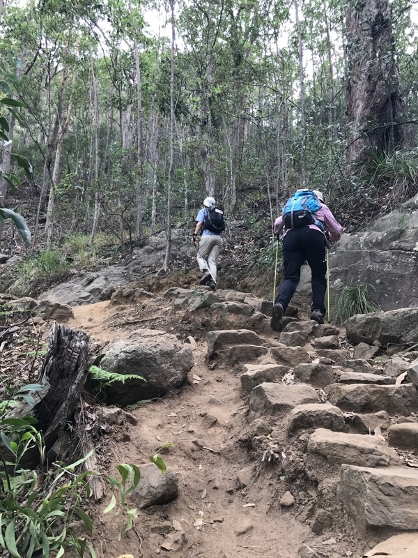
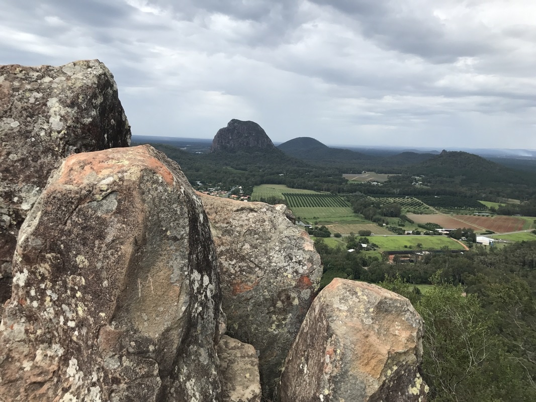
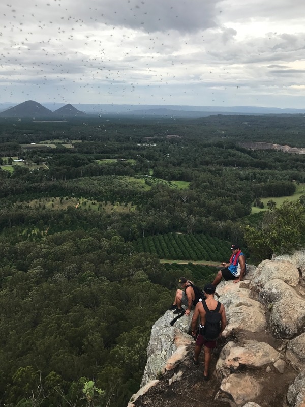
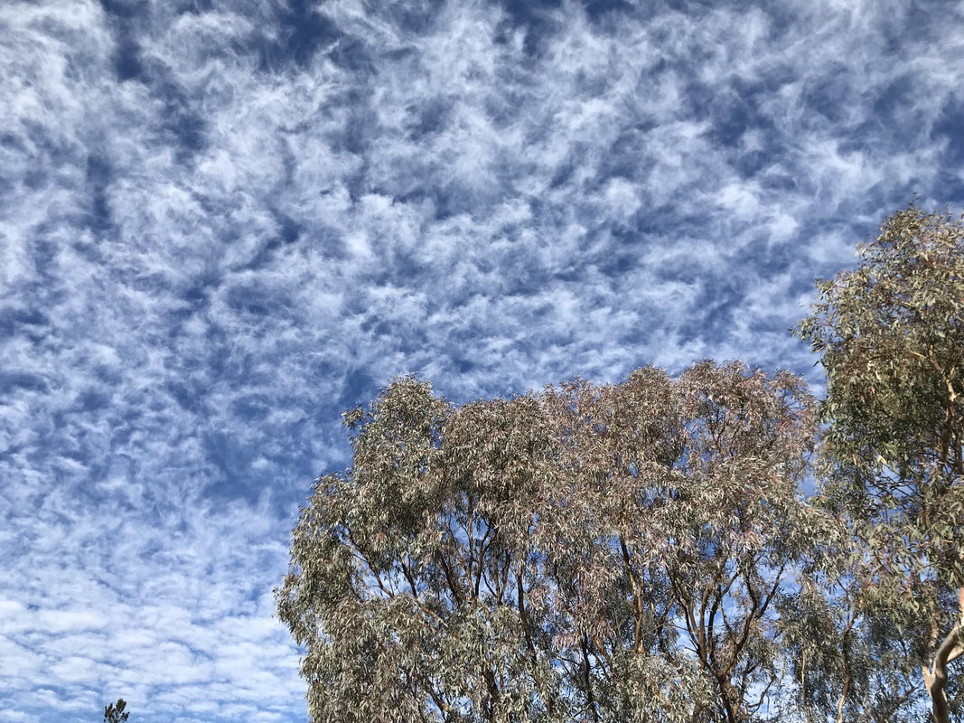 Spectacular cloud display. | 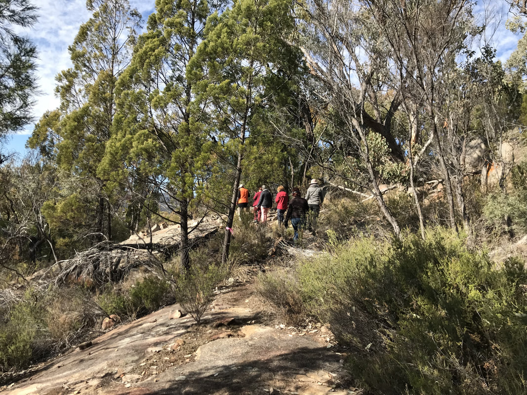 Off to the summit. |
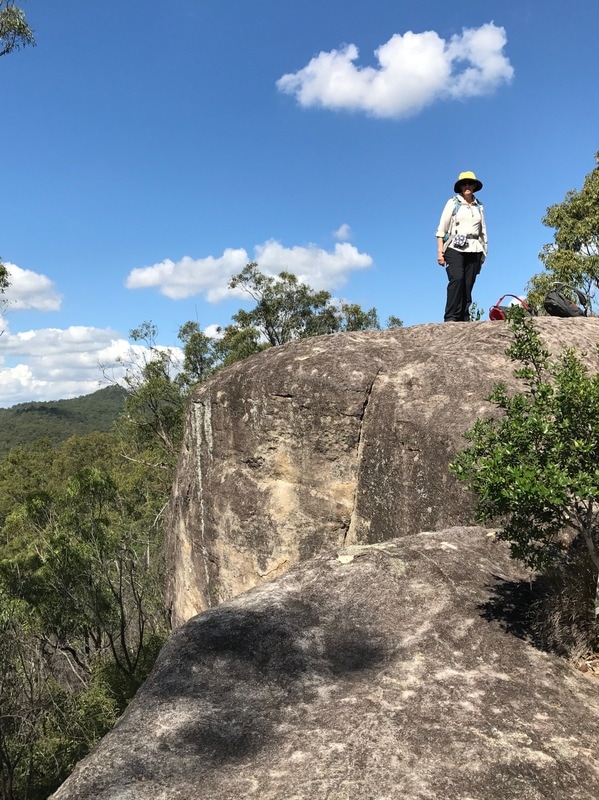
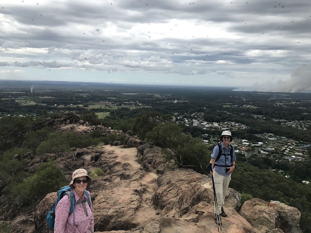
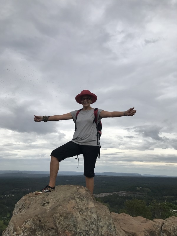
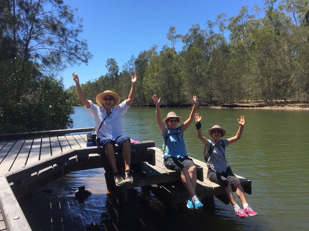
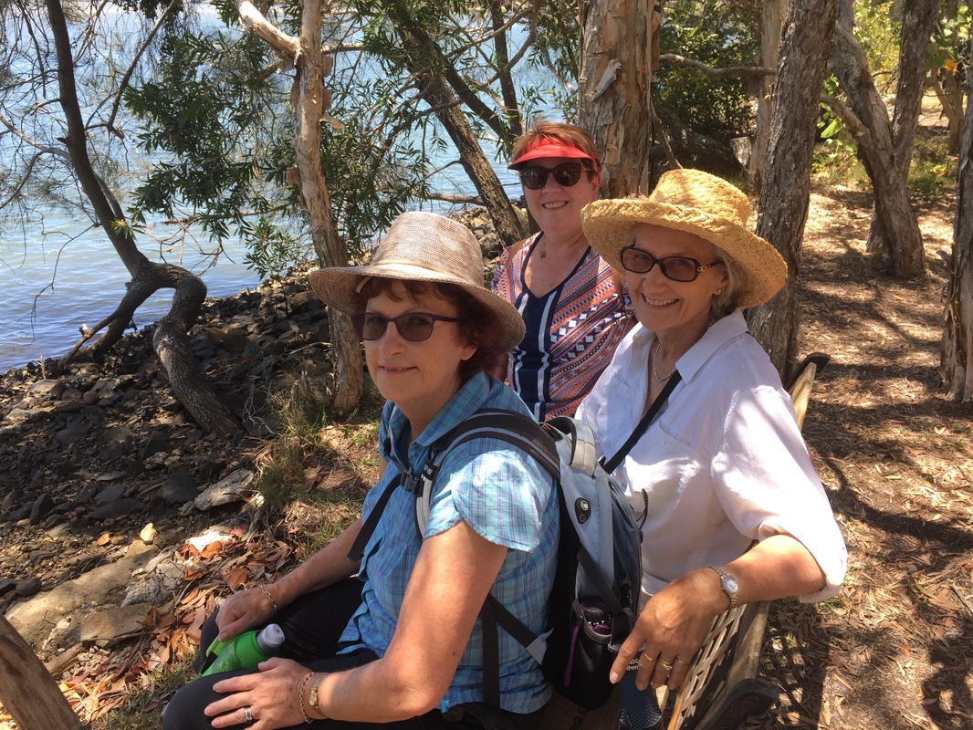
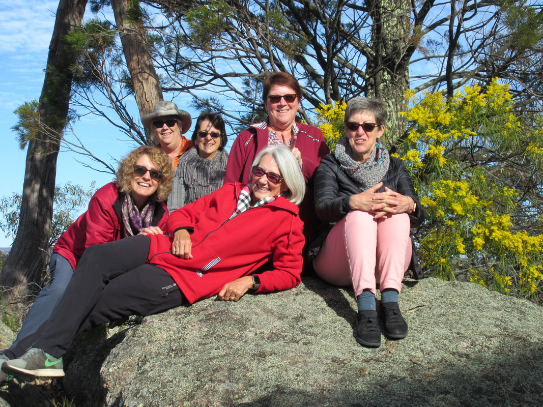 A little posing. | 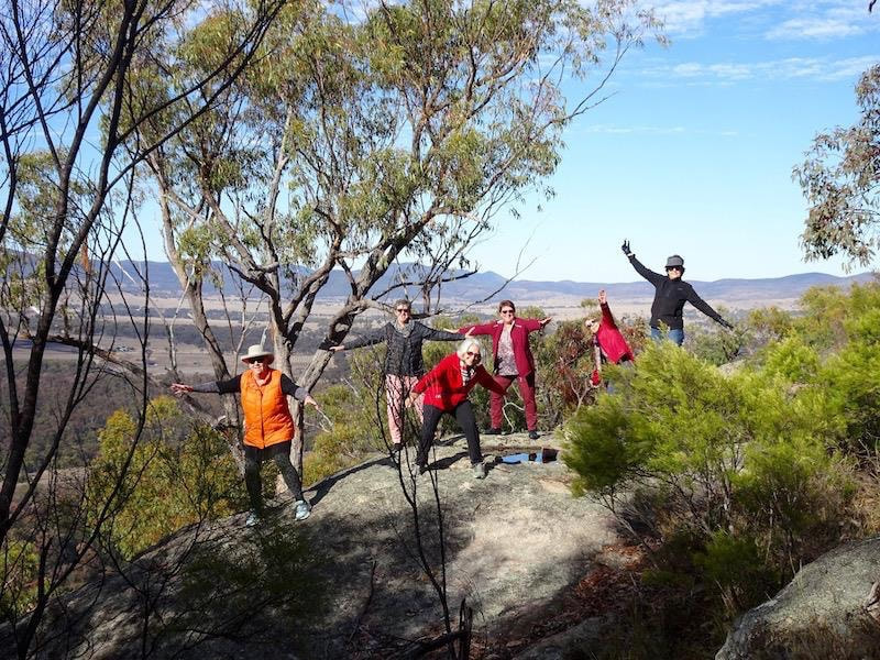 More posing. |
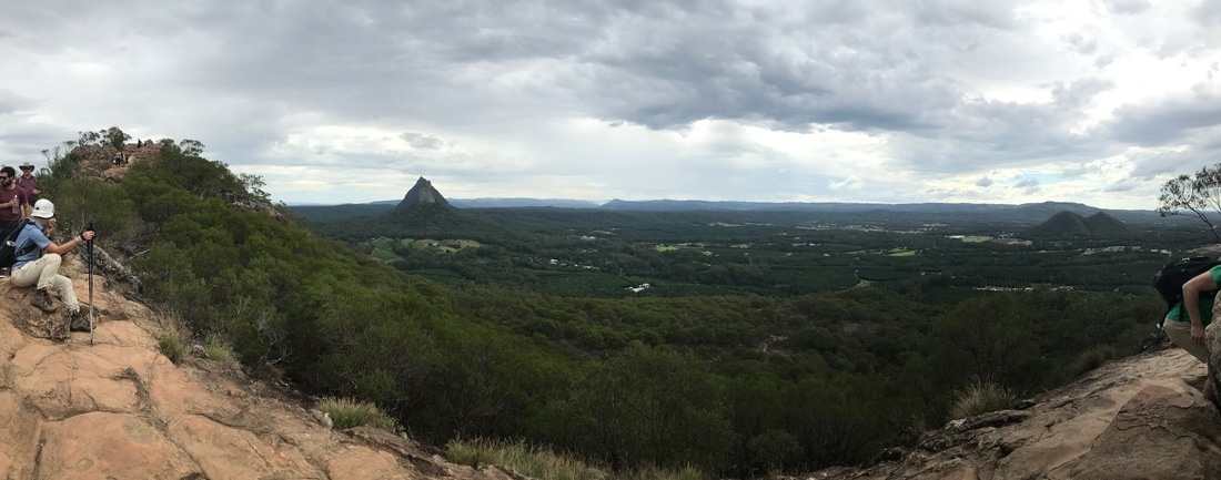
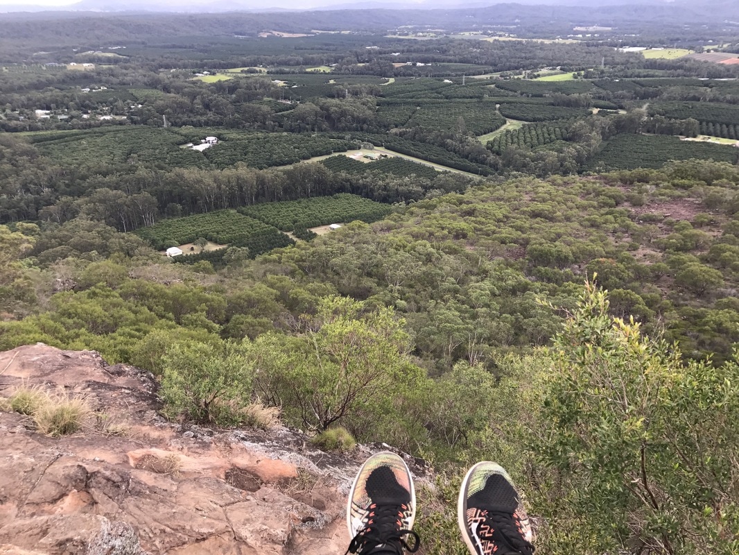
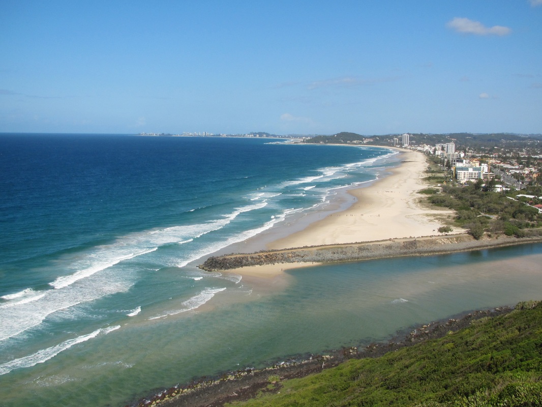
 The view was beautiful. | 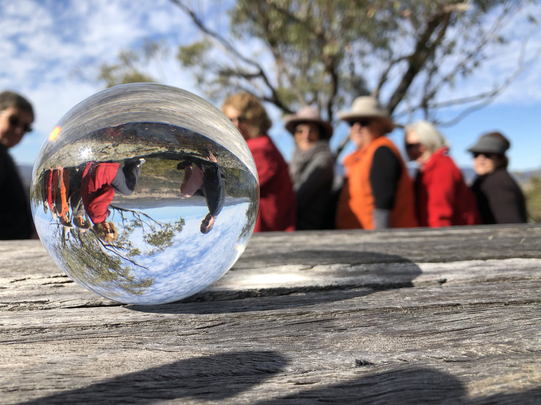 The crystal ball promised more good times ahead. |
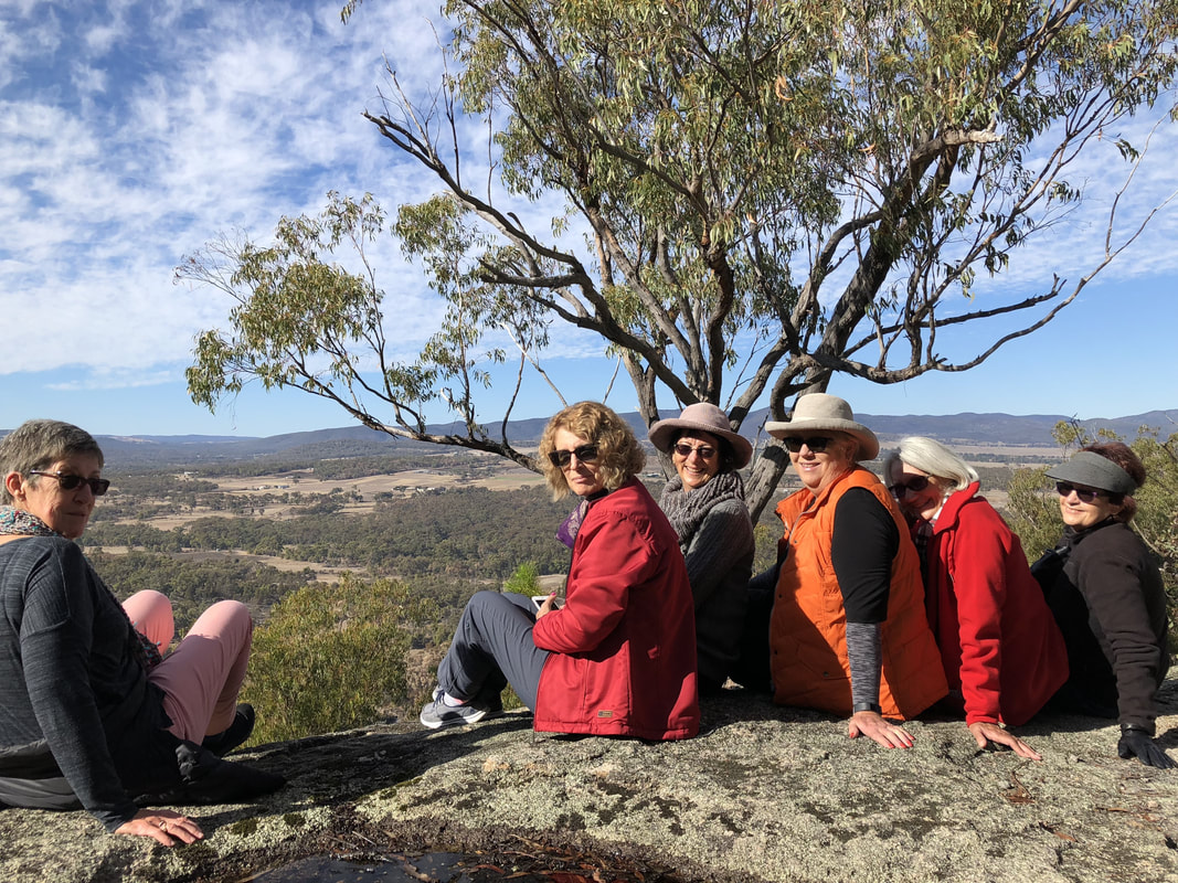
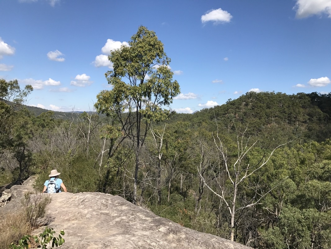
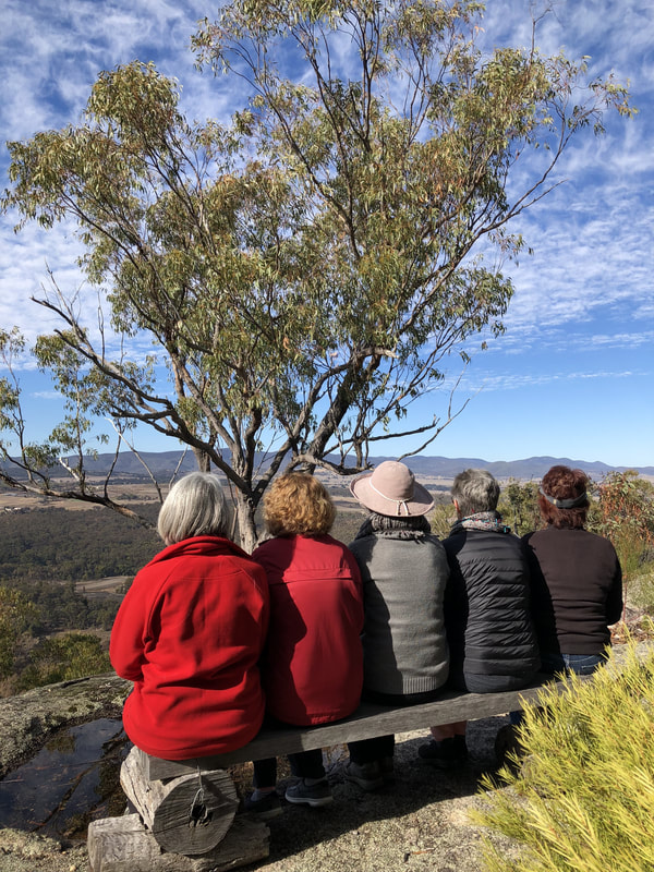 Taking a quiet moment to appreciate the view. | 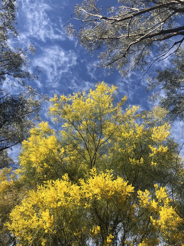 Spectacular colours of the day. |
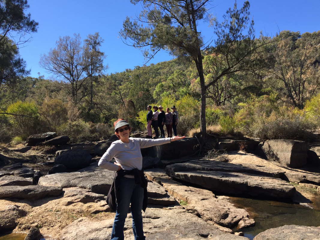
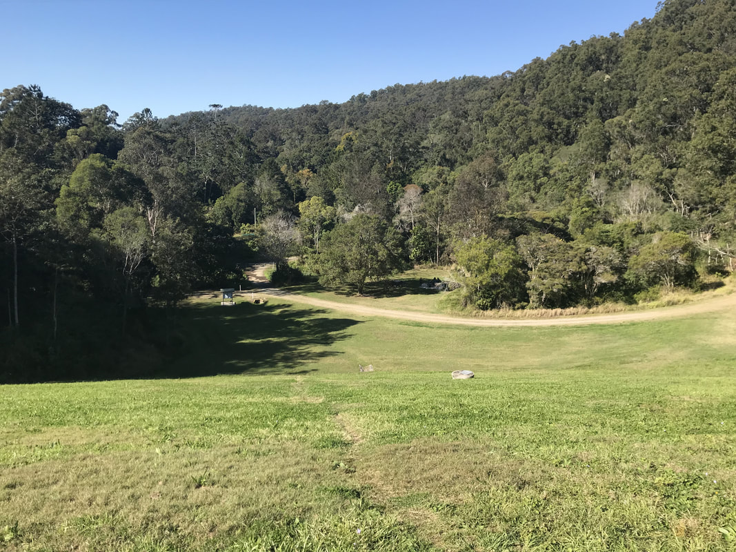
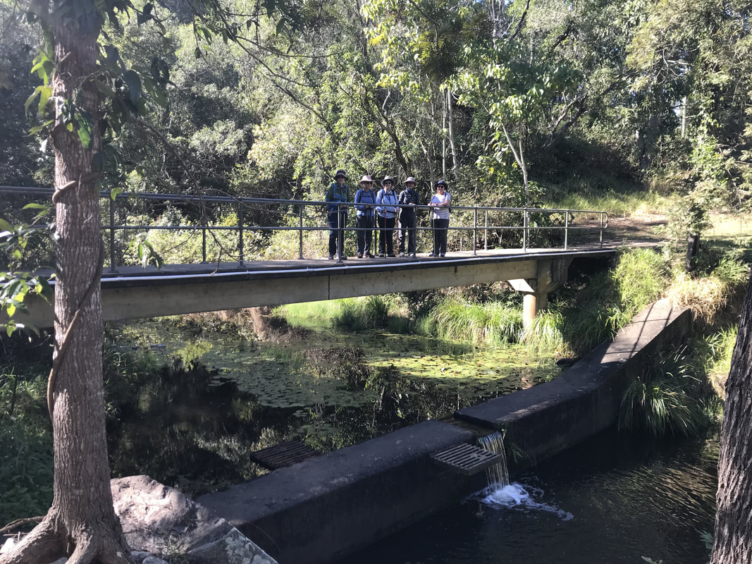
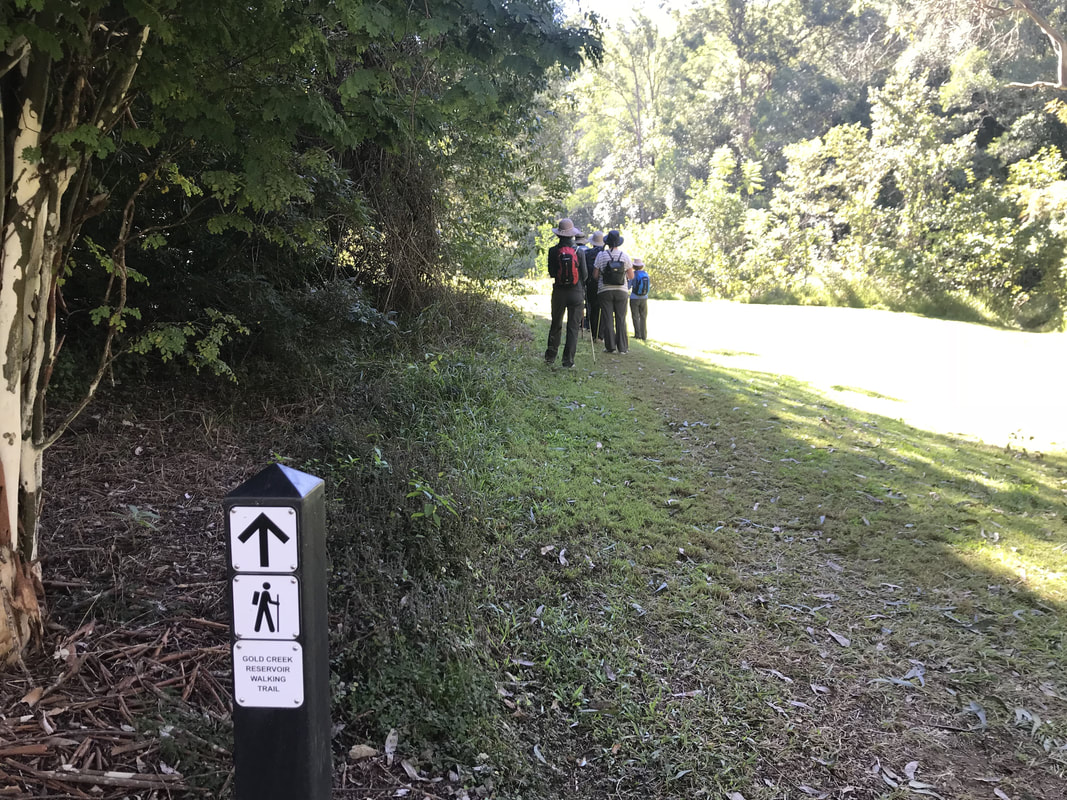
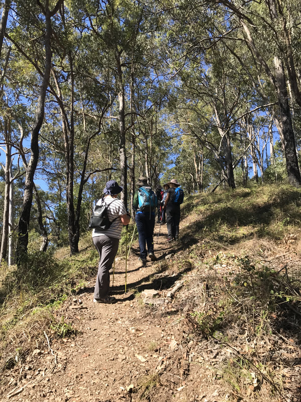
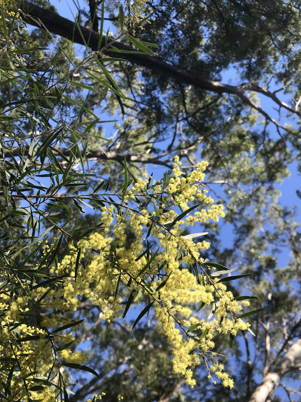
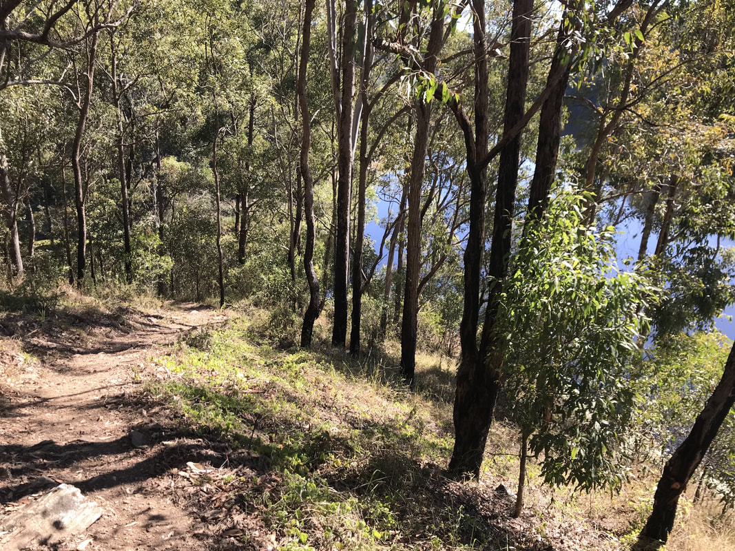
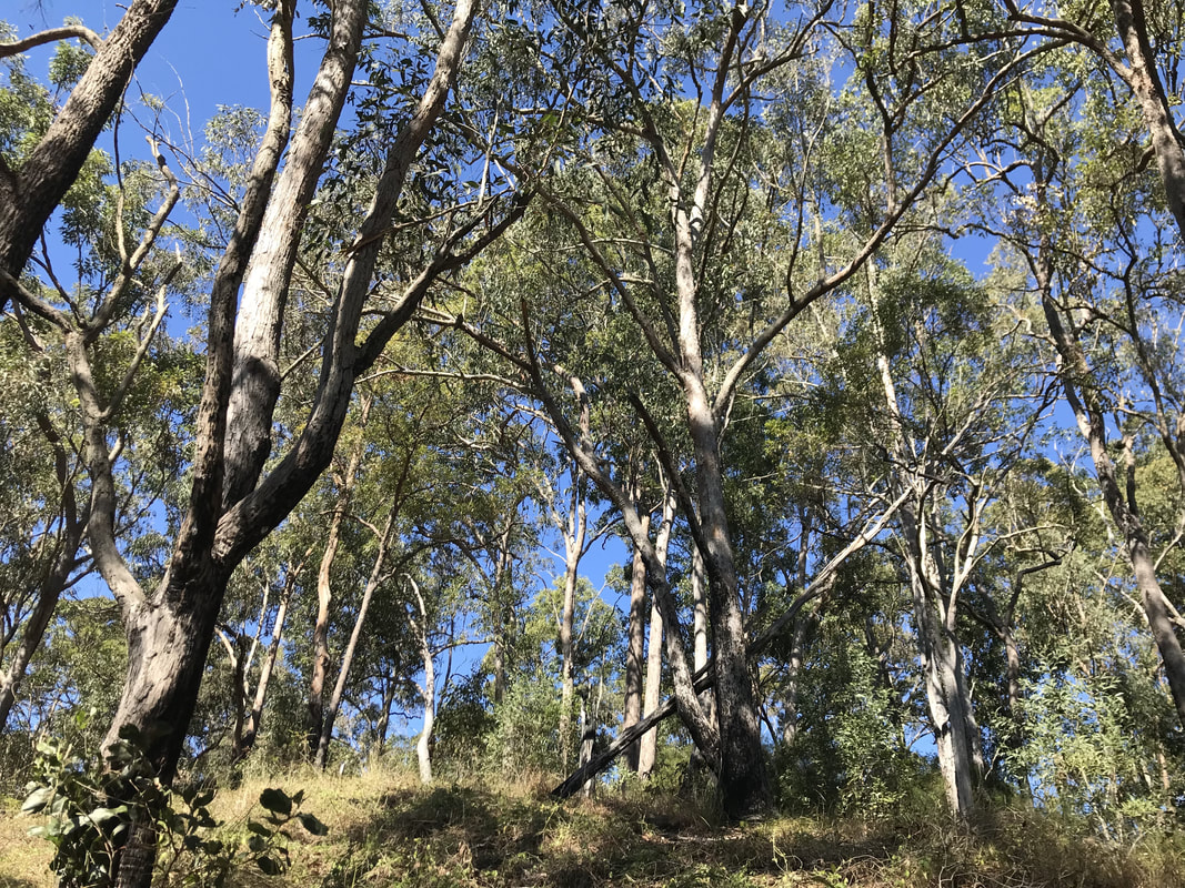
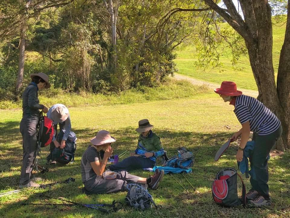
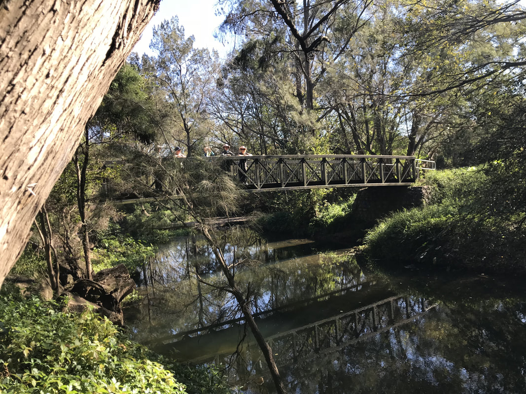
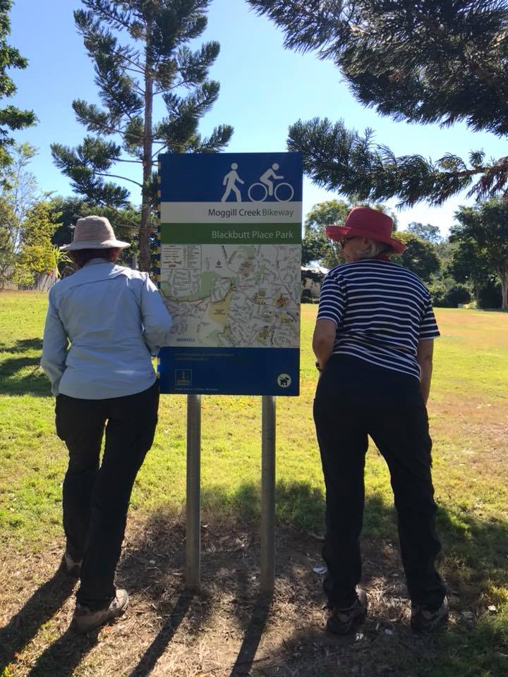
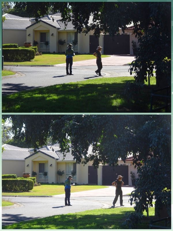
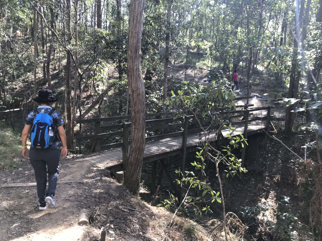
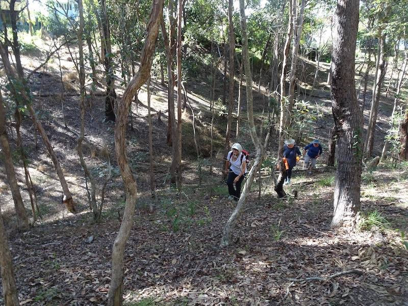
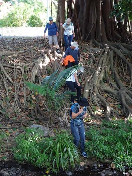
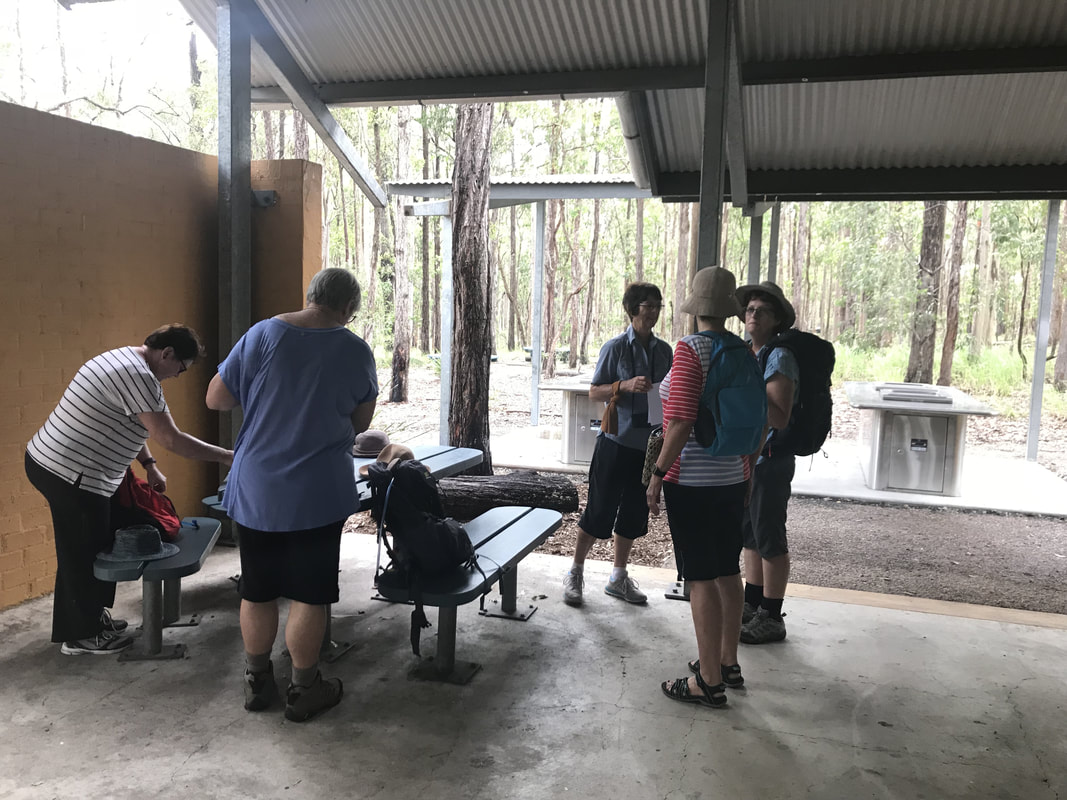
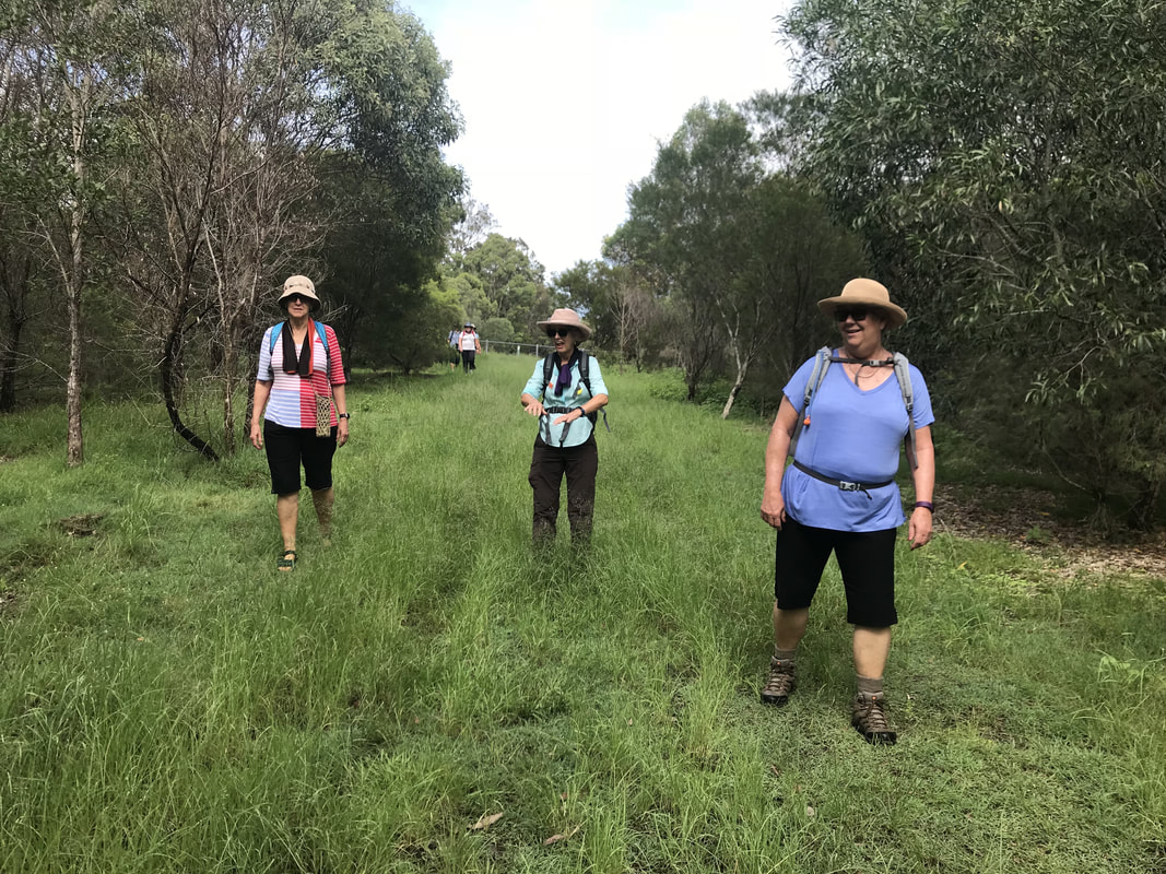
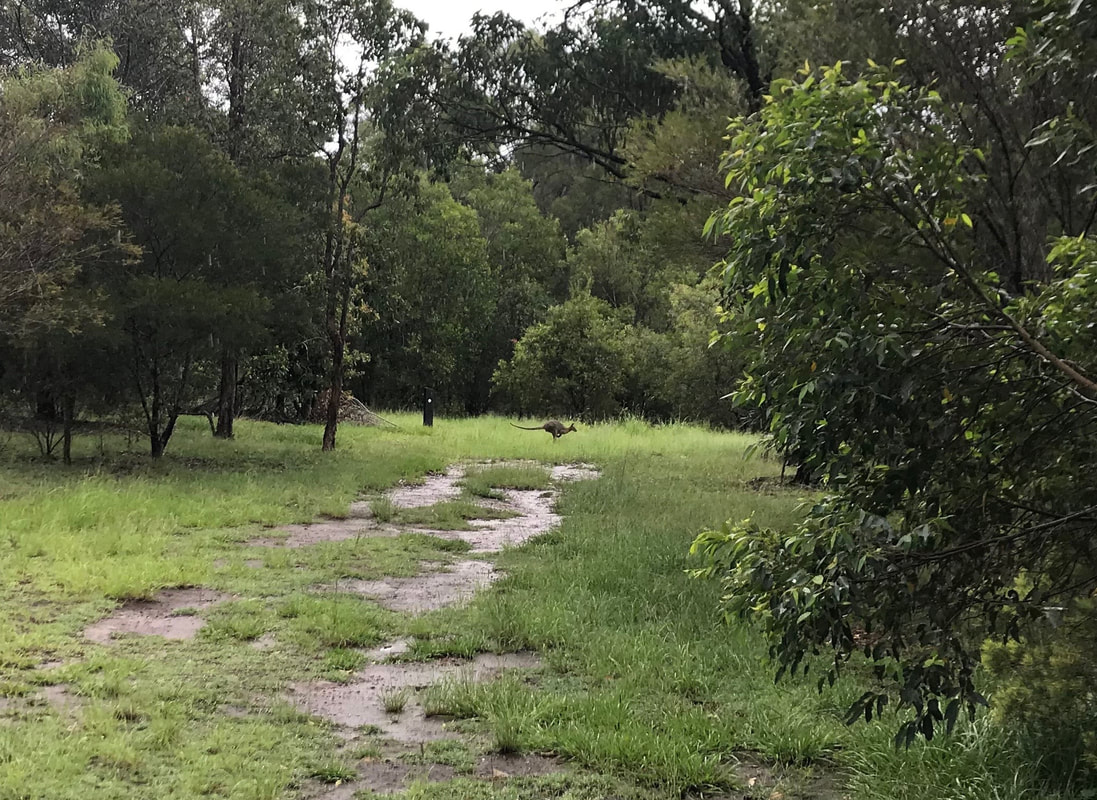
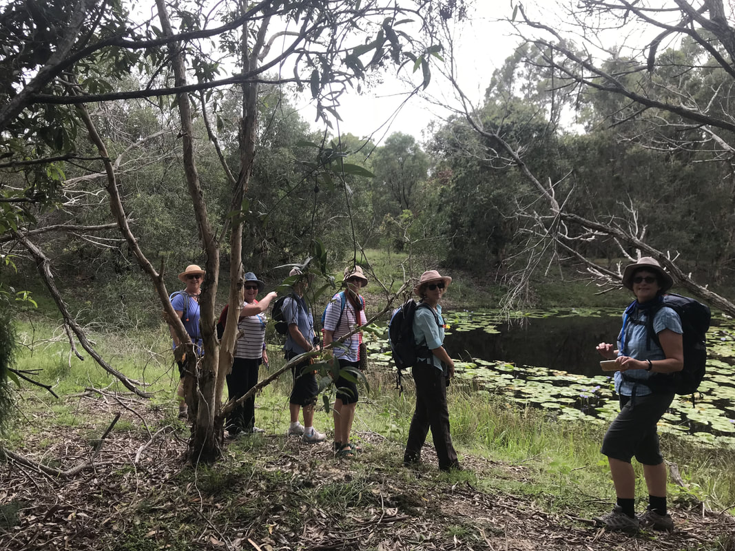
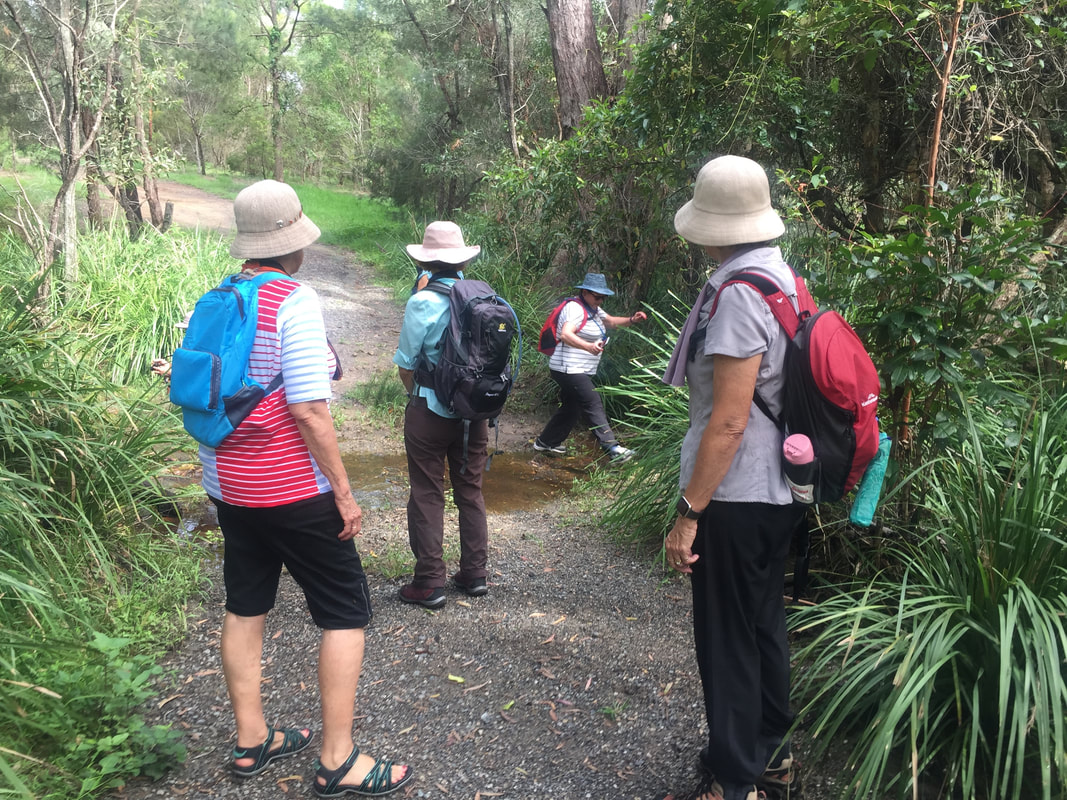
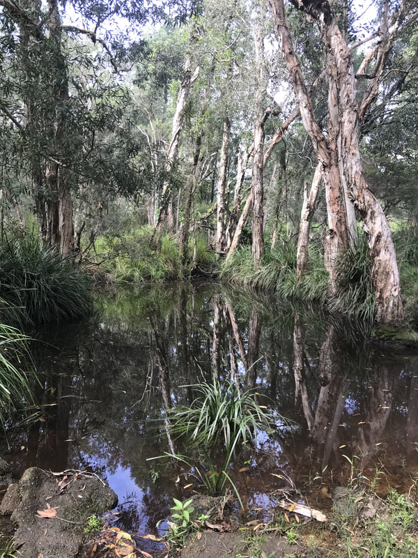
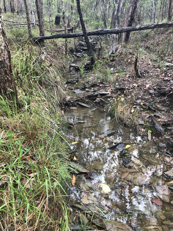
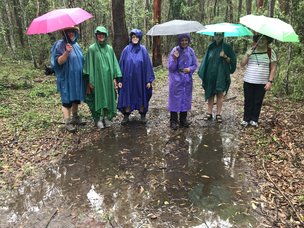
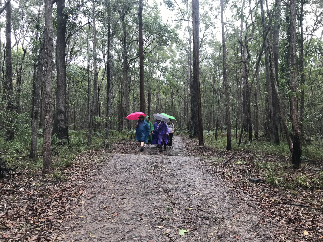
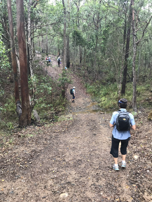
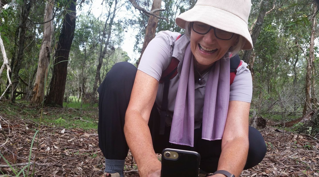
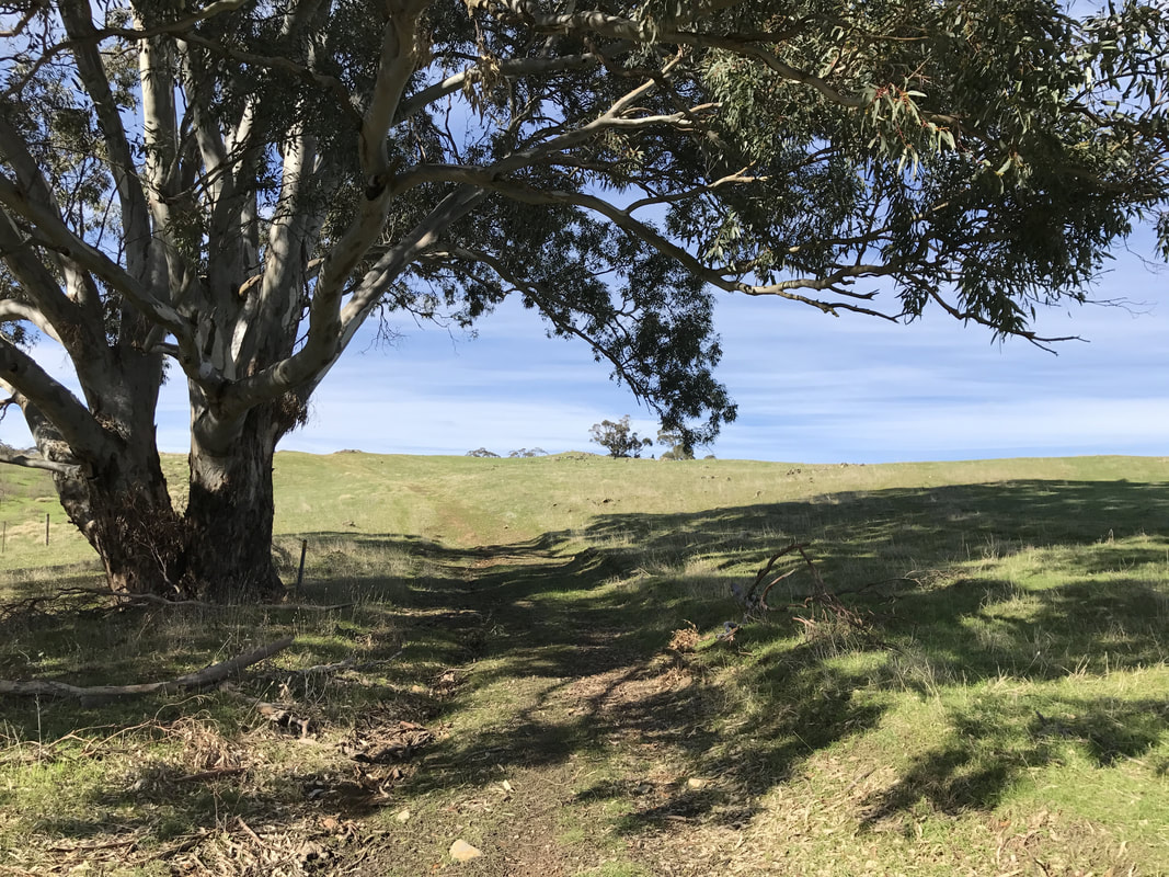
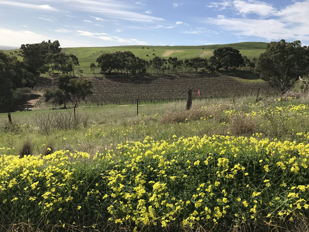
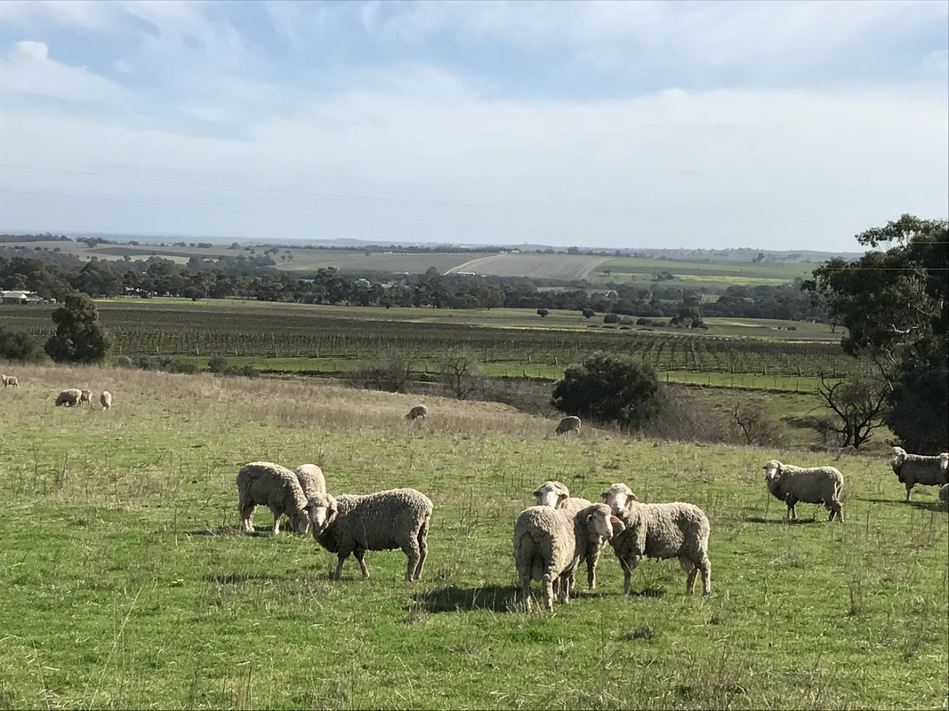
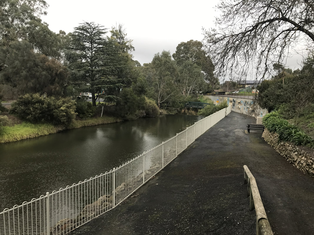
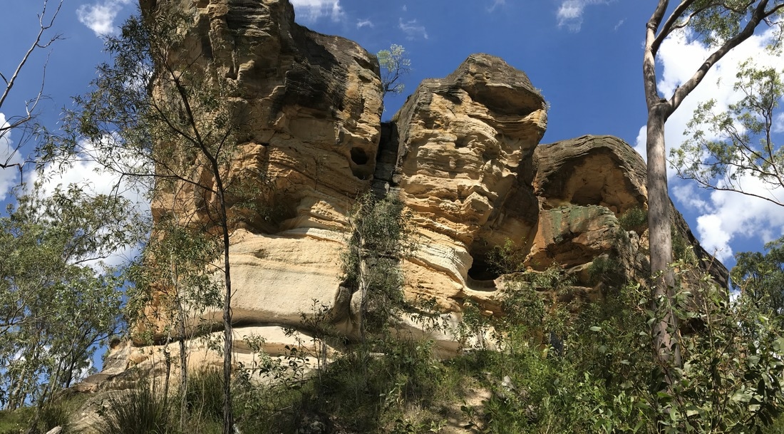
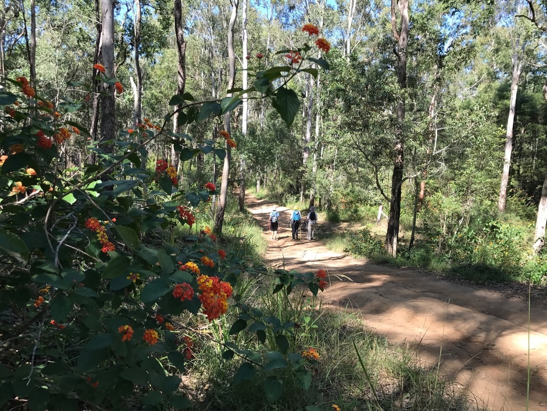
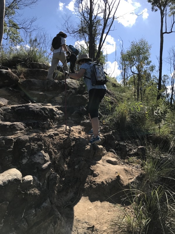
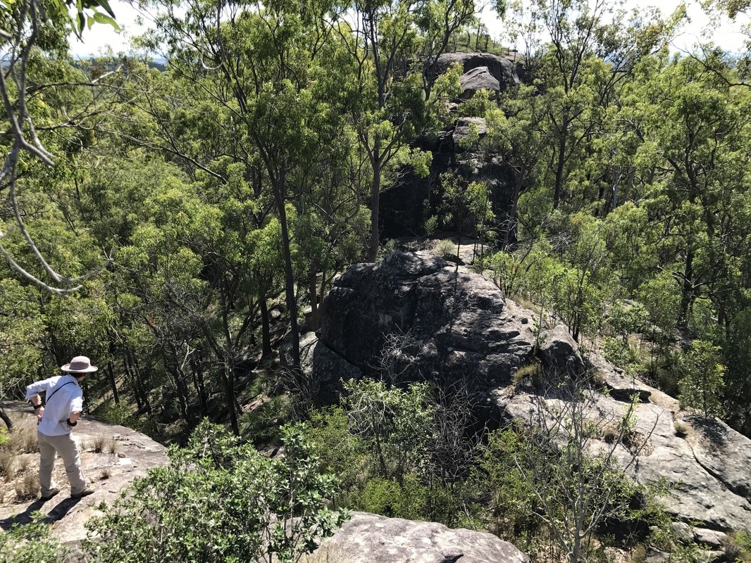
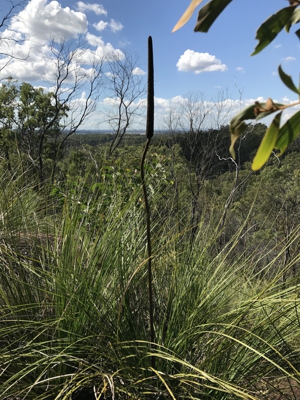
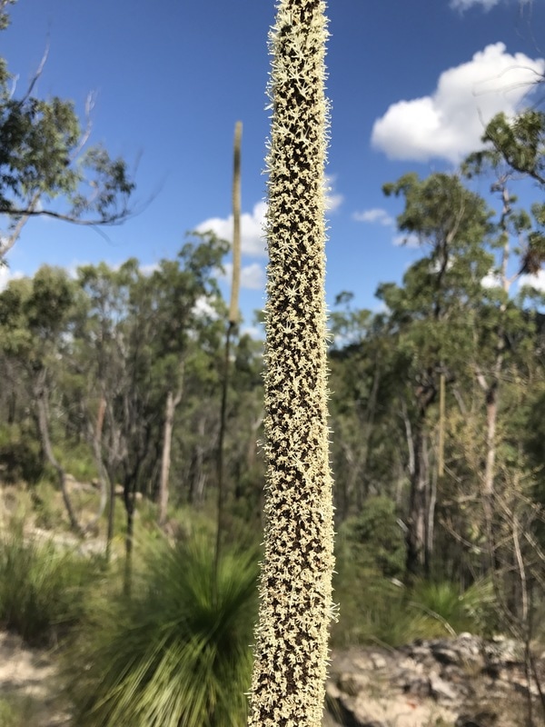
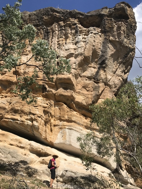
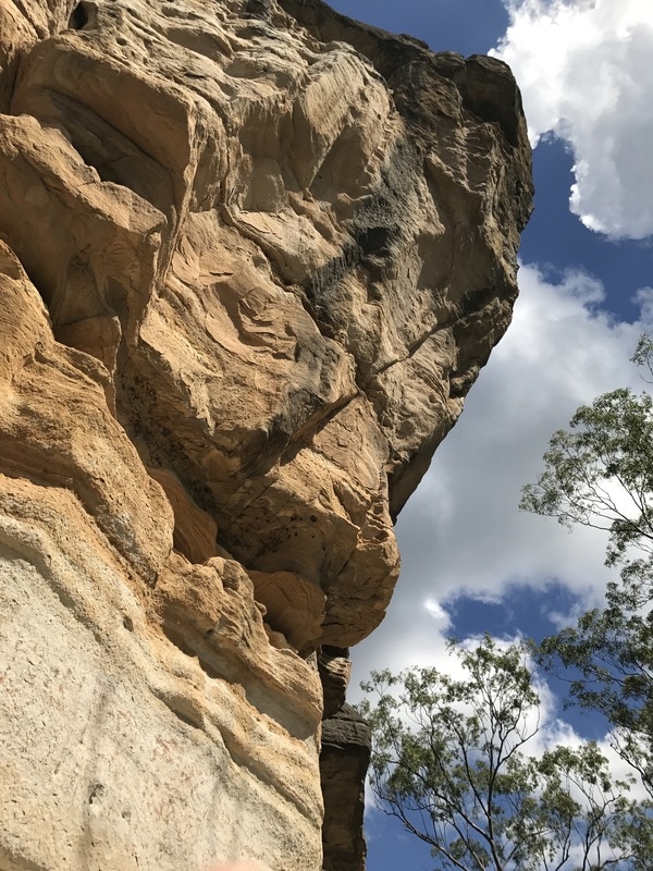
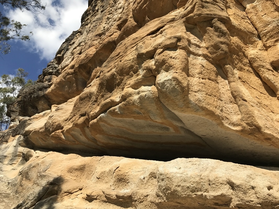
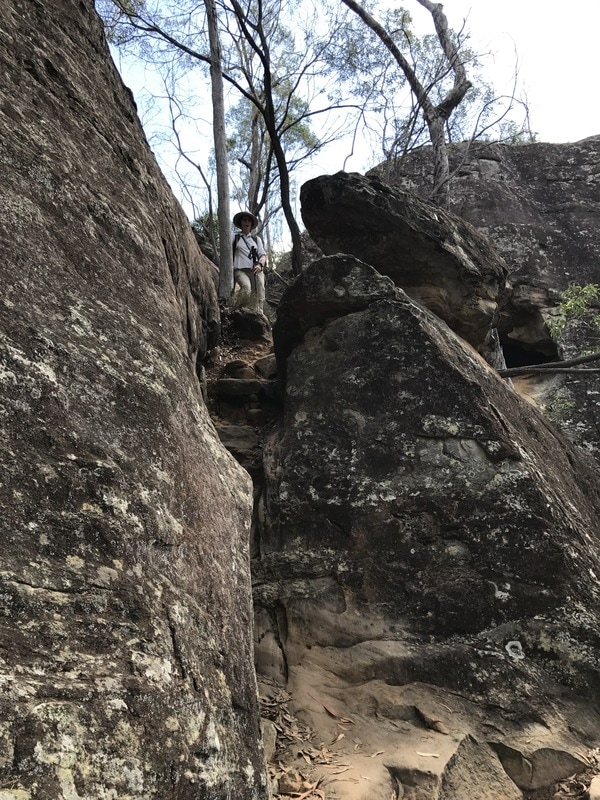
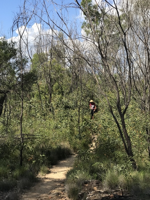
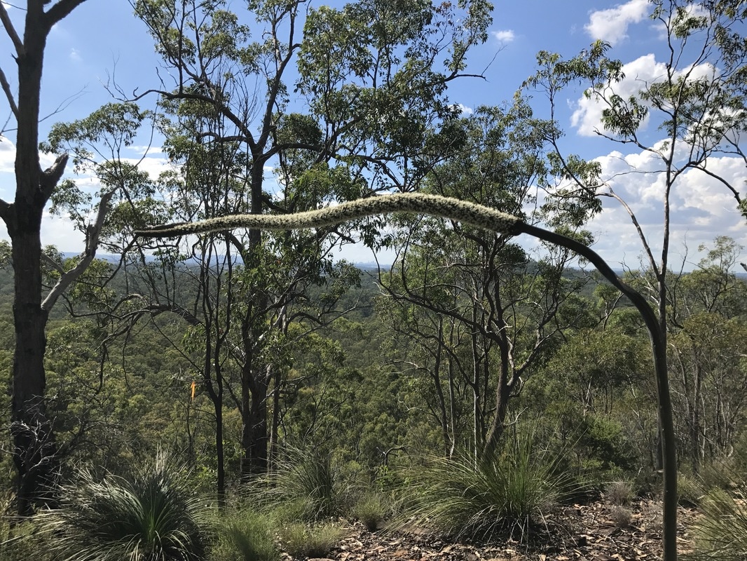
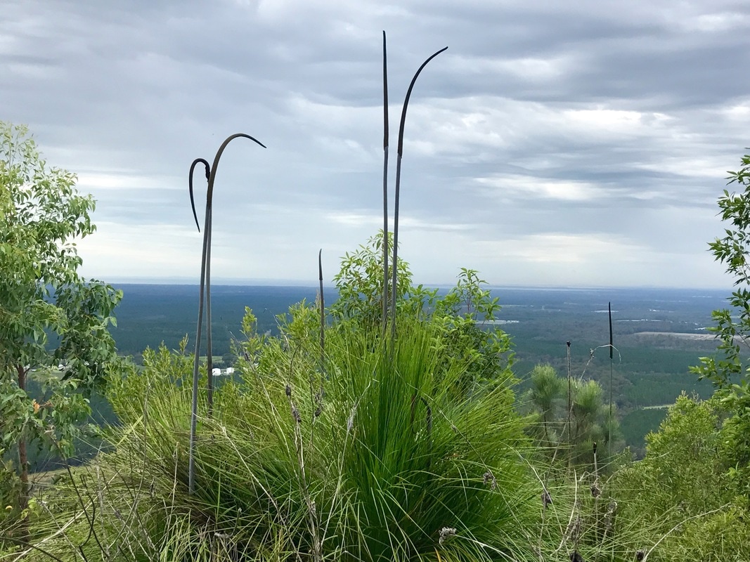
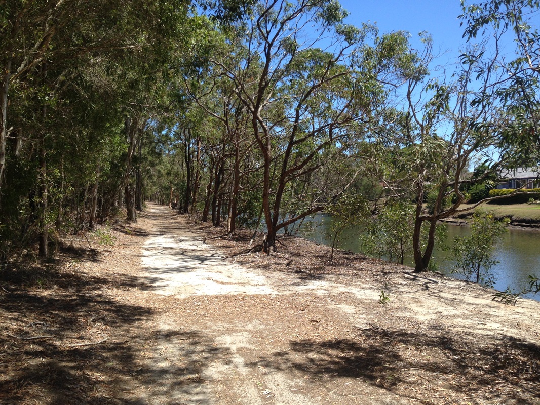
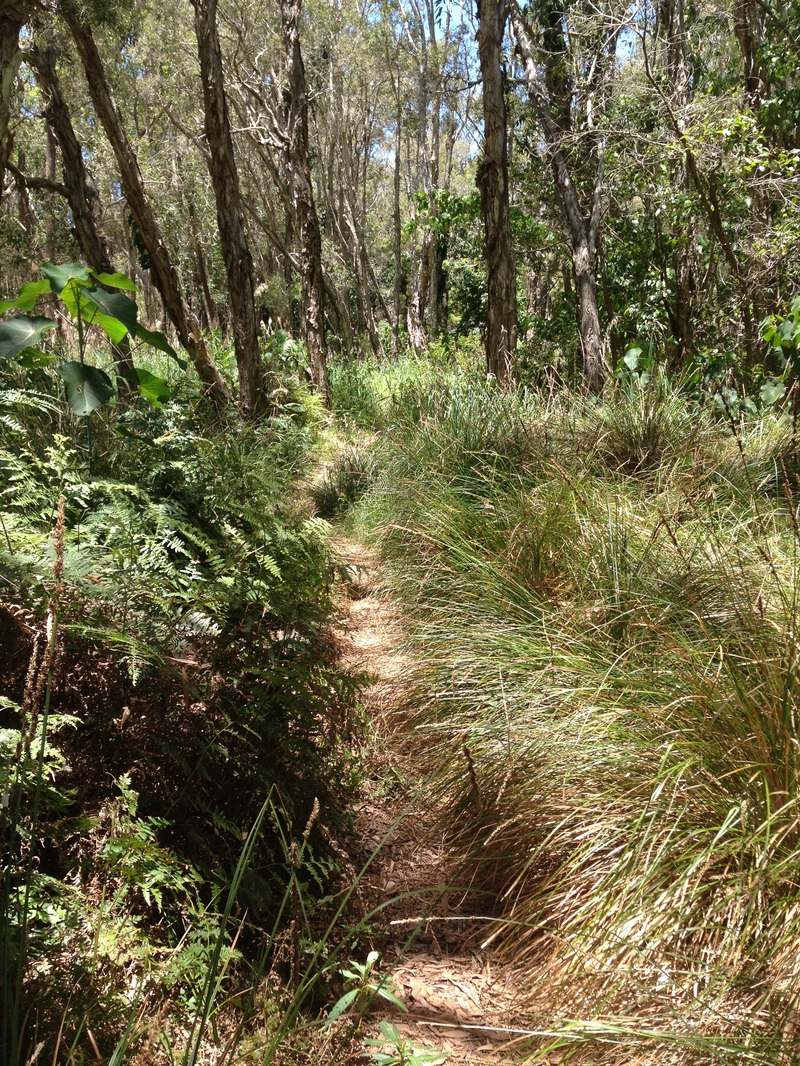
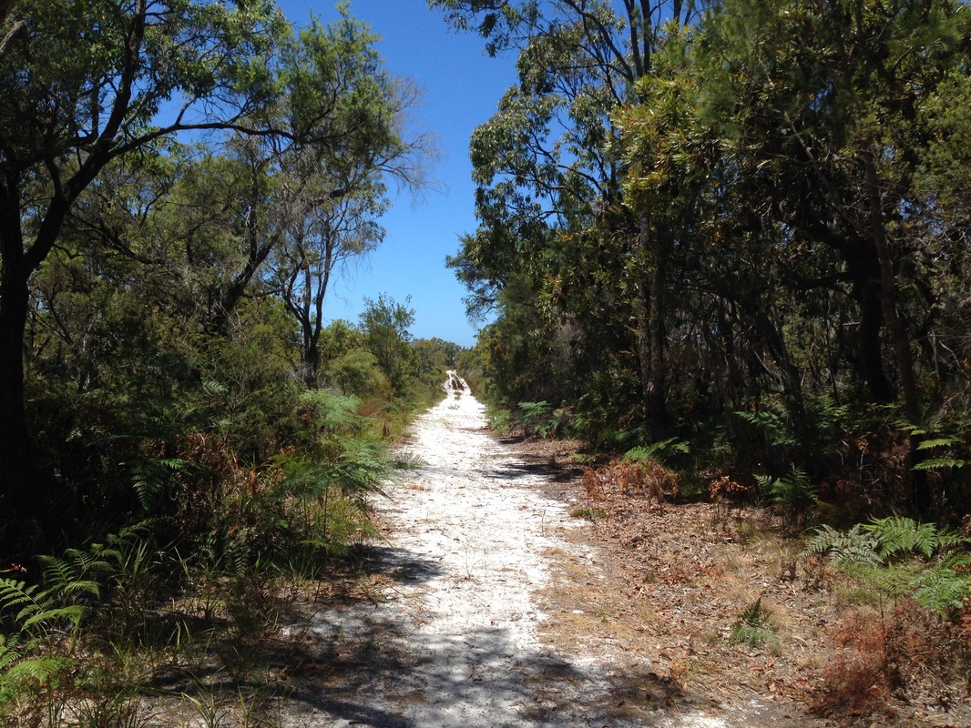
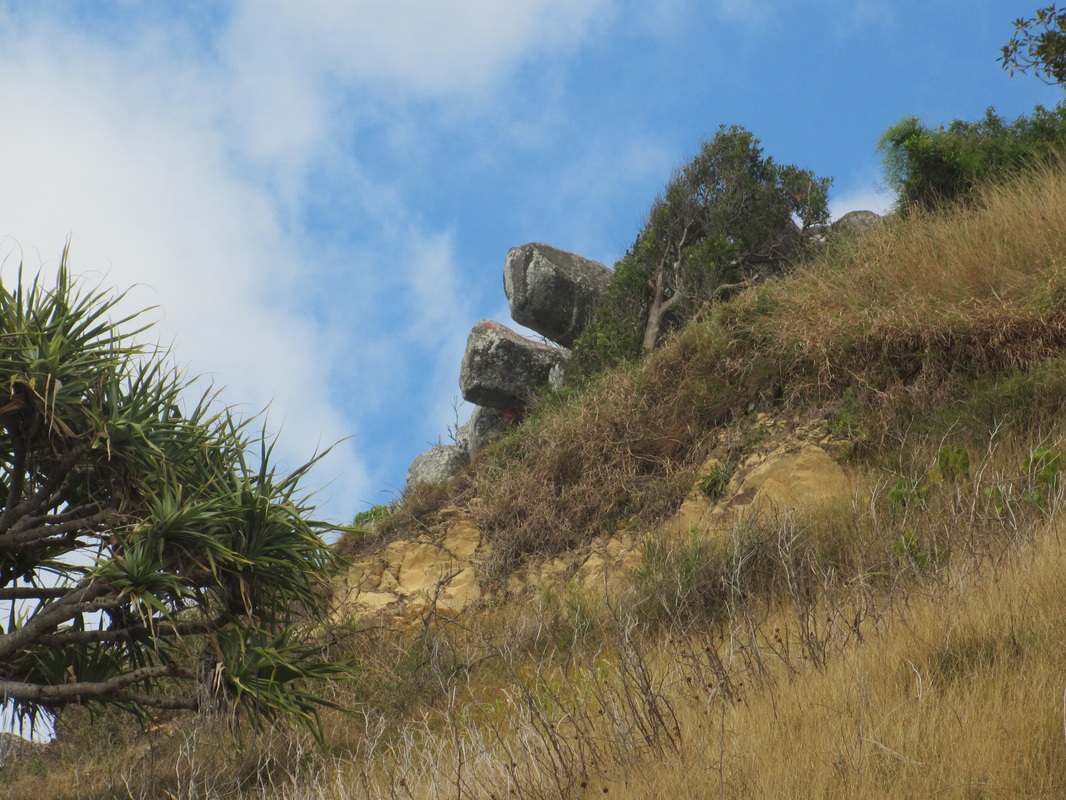
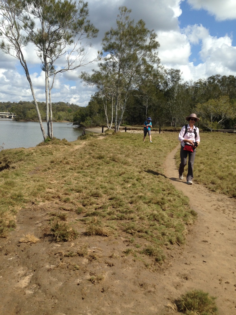
After enjoying the view and a whole lot of posing, we returned to the house to hike down to the river. The sky was still splattered with an amazing swirl of cloud and wattle was riotous in golden bloom. We set off with confidence (mistake number 1) and no water or food (mistakes number 2 & 3) as we thought we would only be away a short time on a short hike (mistakes number 4 & 5). We wound our way along a rough, overgrown 4-wheel drive track and enjoyed the lovely bush with birds singing and kangaroos grazing, before hitting the creek. It was on the way back we found ourselves lost as there seemed to be tracks everywhere and we could not recognise any. Thankfully, after a few hill climbs and backtracking, good old Google maps helped us find our way out of the maze. We had a lot of thirst quenching and hunger sating to take care of when we returned.
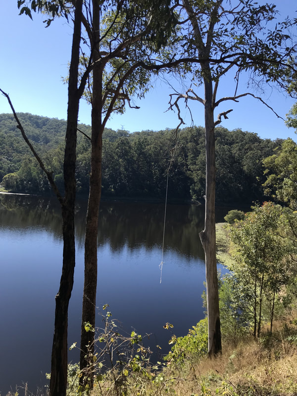
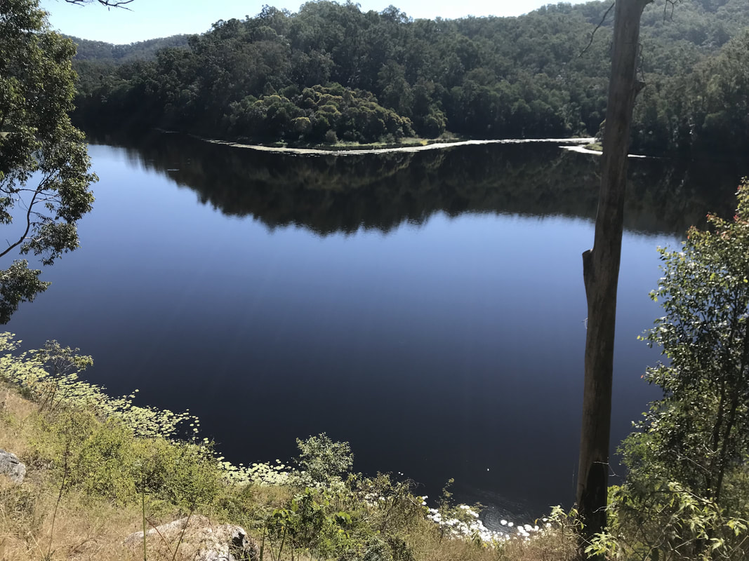
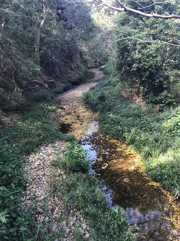
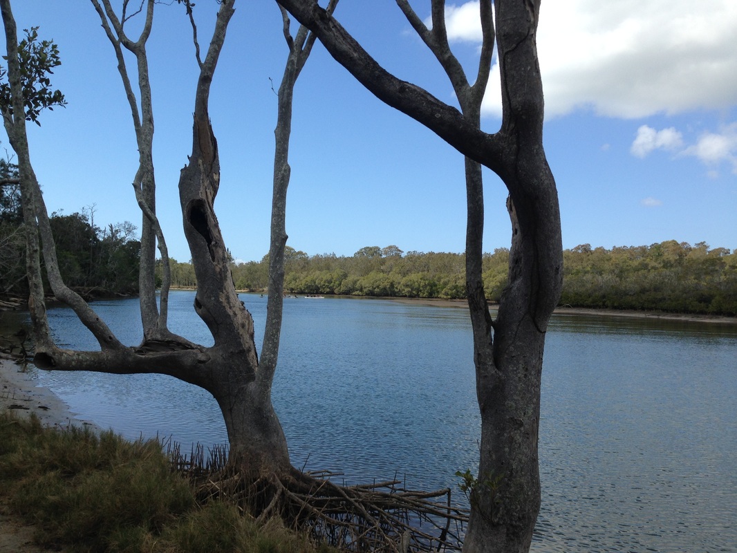
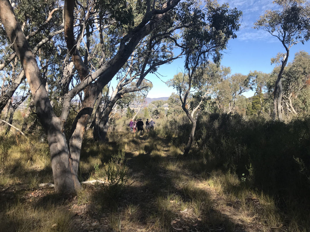 Off to find the river. | 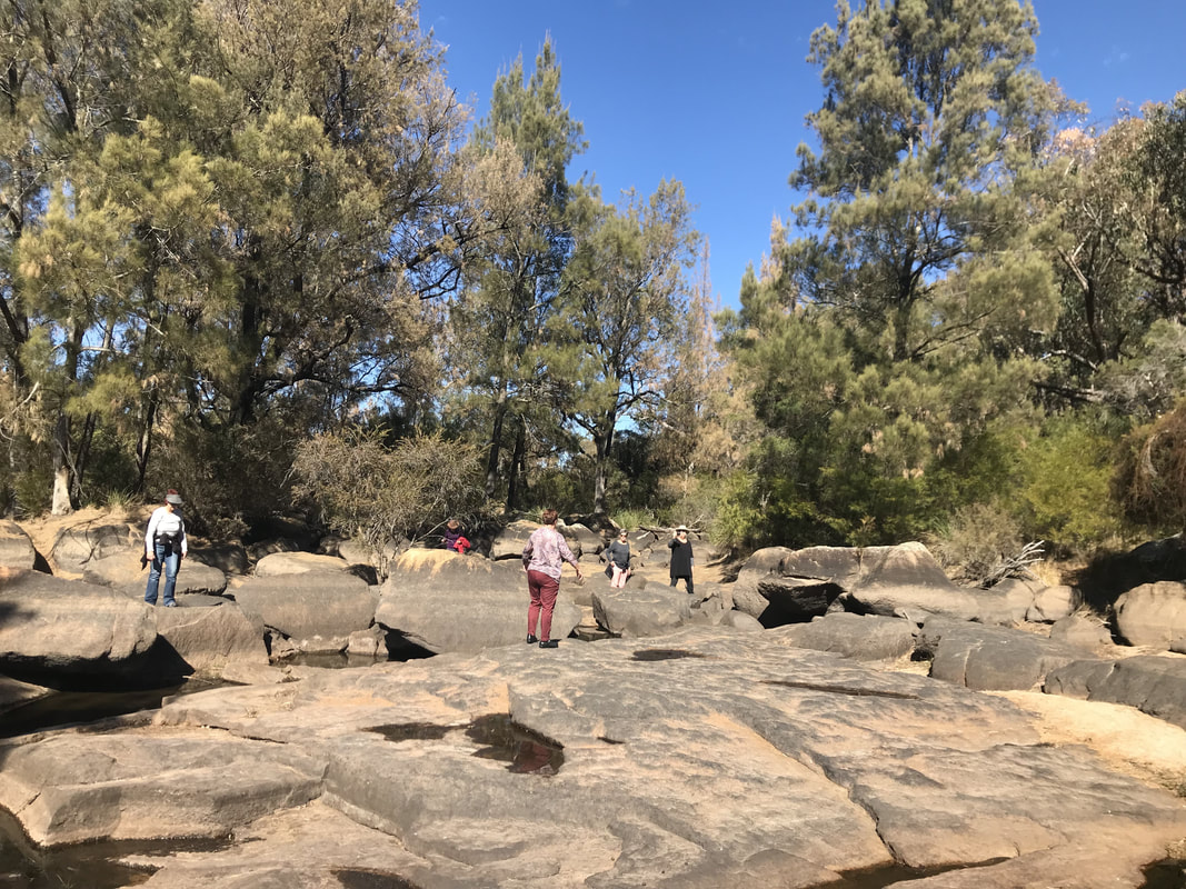 Quite a dry river bed. |
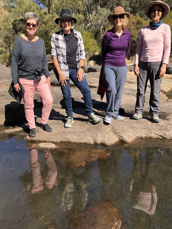
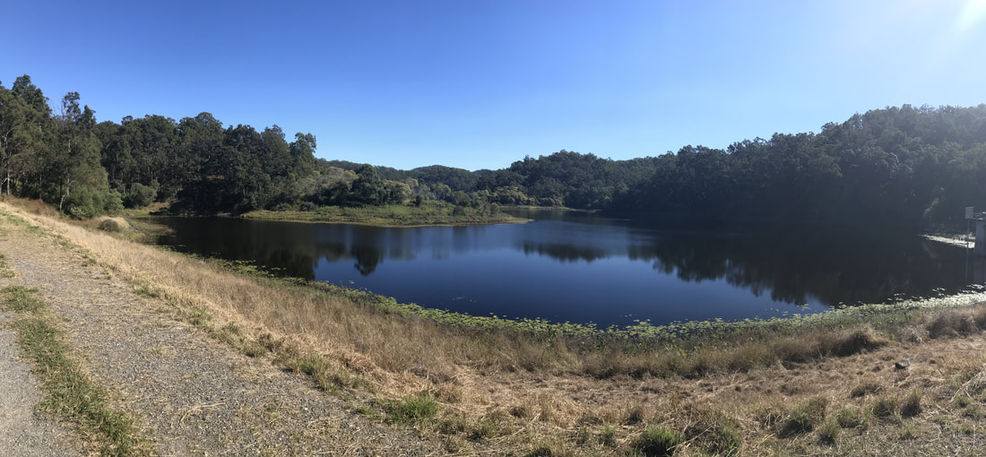
Not much water in the river - just some puddles.
 A bit of nonsense and trick photograpy at the river. | 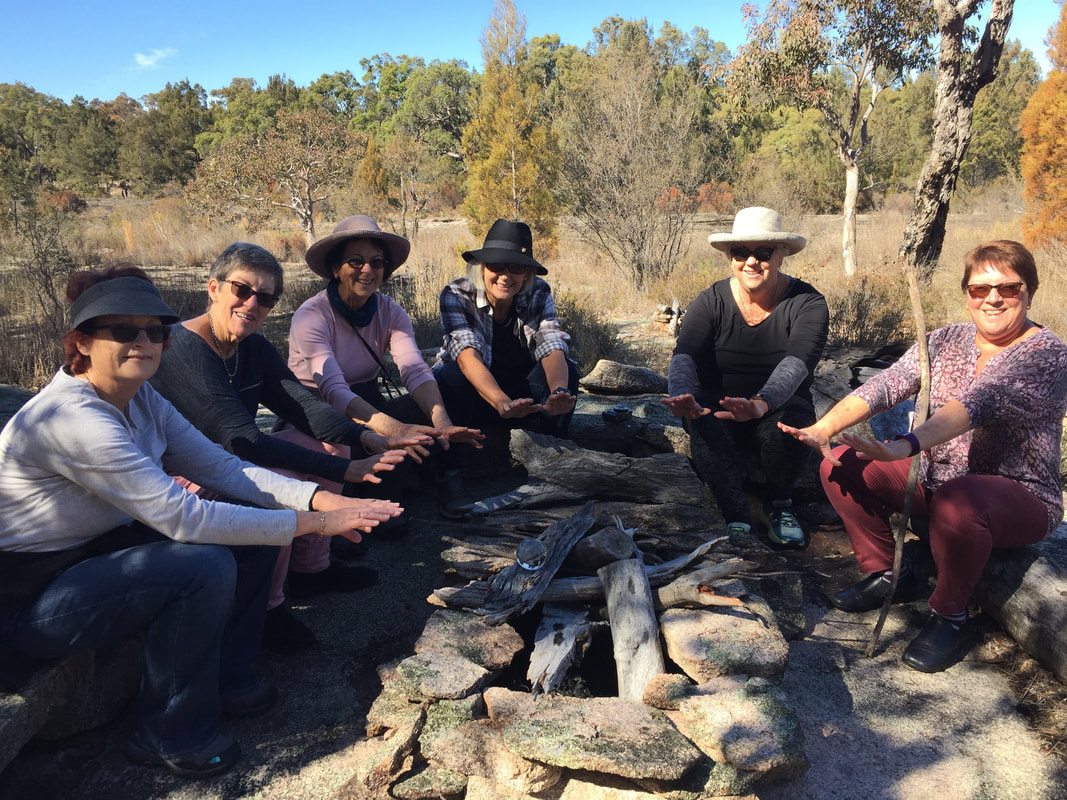 Someone had made this lovely fire pit so we pretended to have a fire. |
Food, glorious food. Safely home.
How we spent the afternoon - recovering from our arduous hike.
We had revived by sunset and made some more toasts to friendship, hiking and this beautiful part of the world.
Perfect lighting captured by Helen.
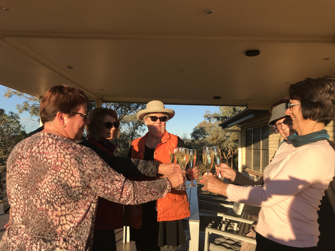 Cheers again. | 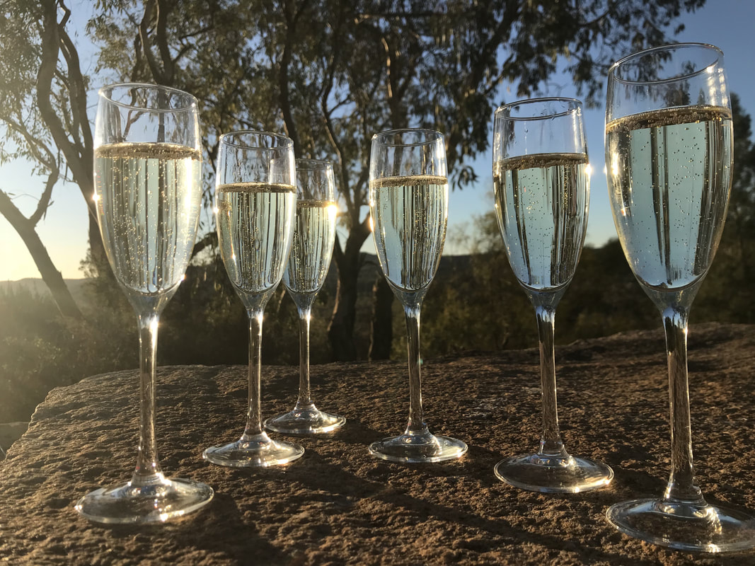 Sunset drinks. |
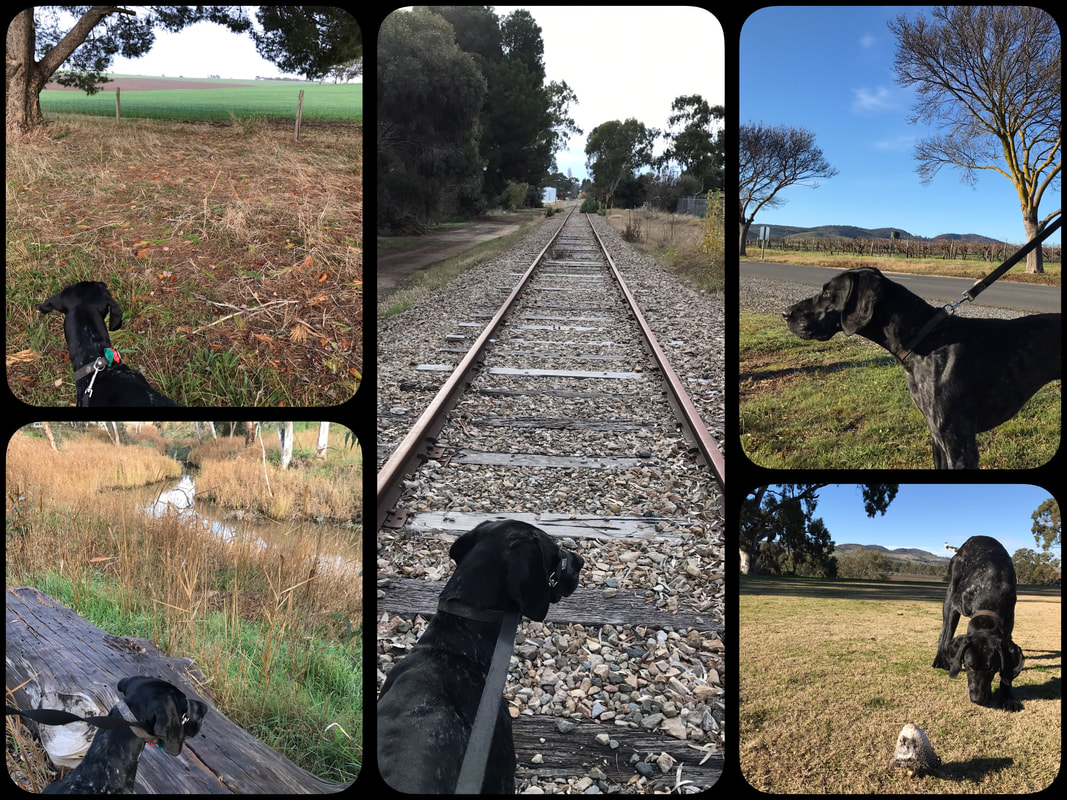
After a great night's sleep Helen and I once again took an early morning hike while the others slept on. We covered an invigorating 8 kilometres and returned just in time for breakfast before the others gave up on us and began.
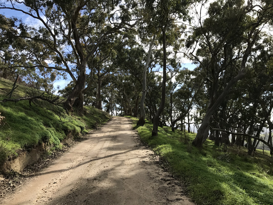
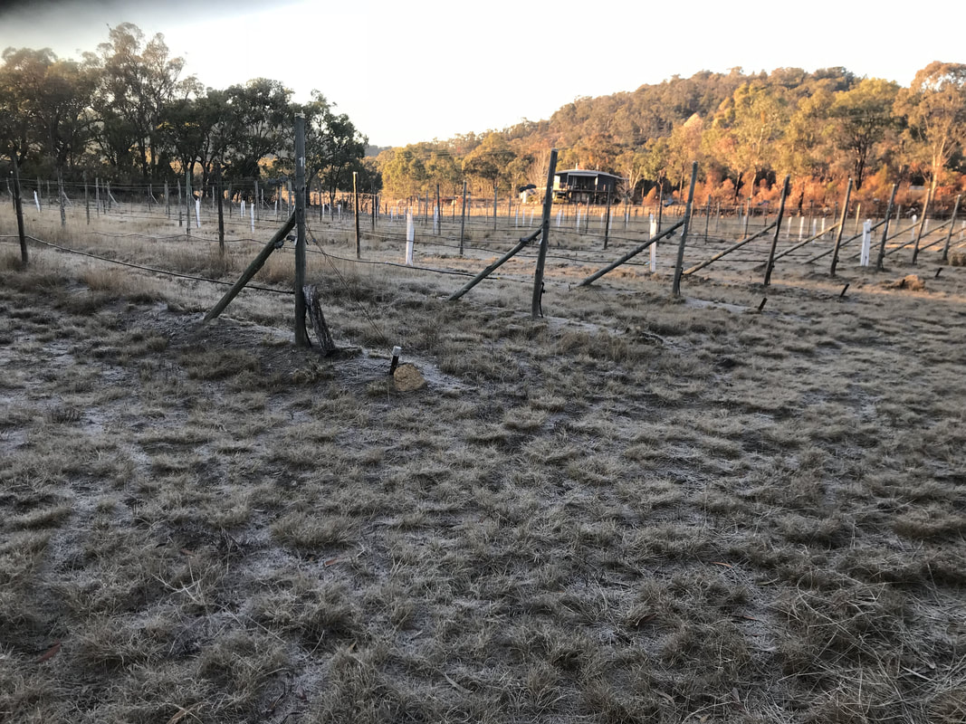 Frost amongst the grape vines. | 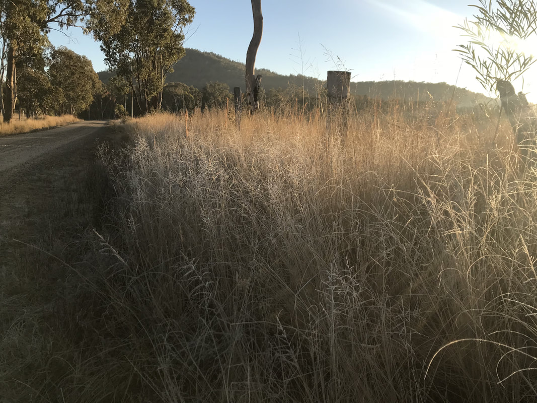 We followed the road so as not to get lost. | 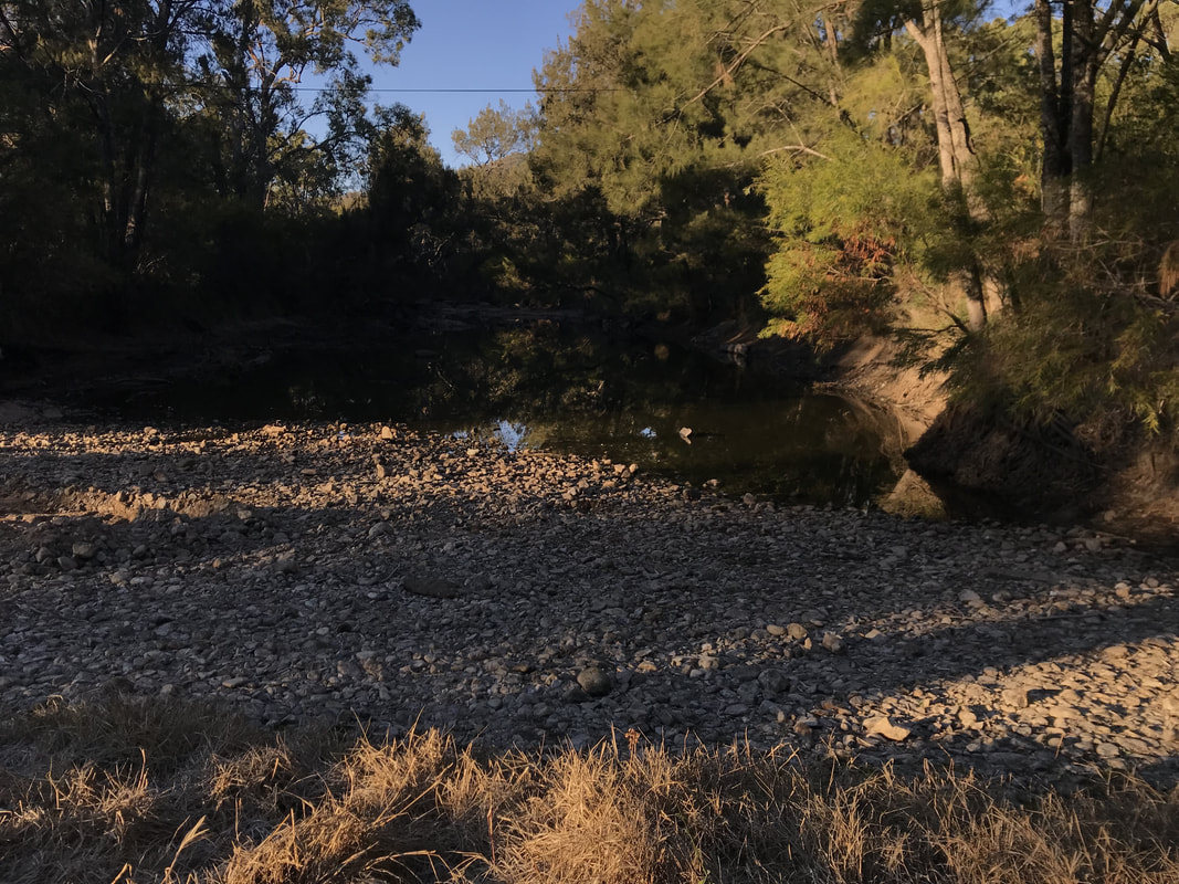 A quiet part of the river. |
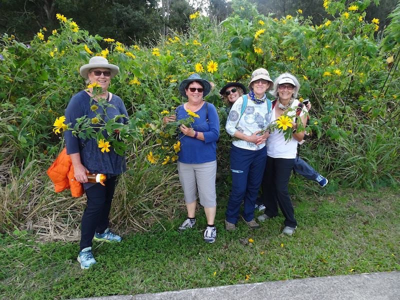
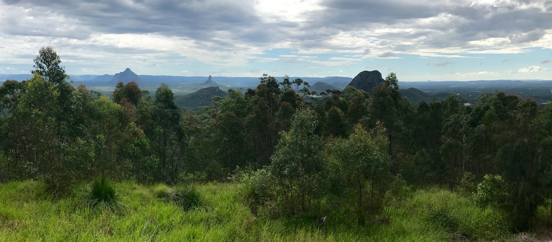
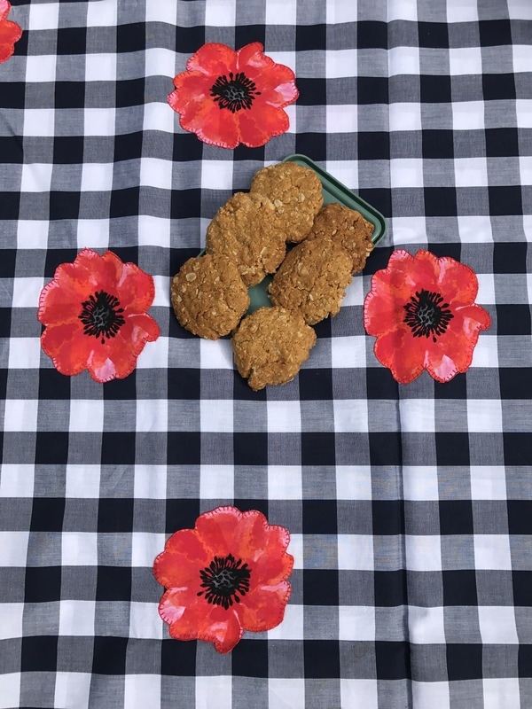
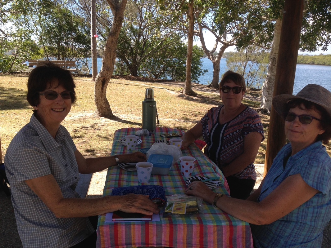
All too soon it was time to head home, but we made a couple of stops on the way. We enjoyed morning tea at The Bramble Patch and lunch at our picnic spot at Cunningham's Gap, then continued on home with full bellies and many happy memories. A perfect mid-week break to remind us how great retirement can be.
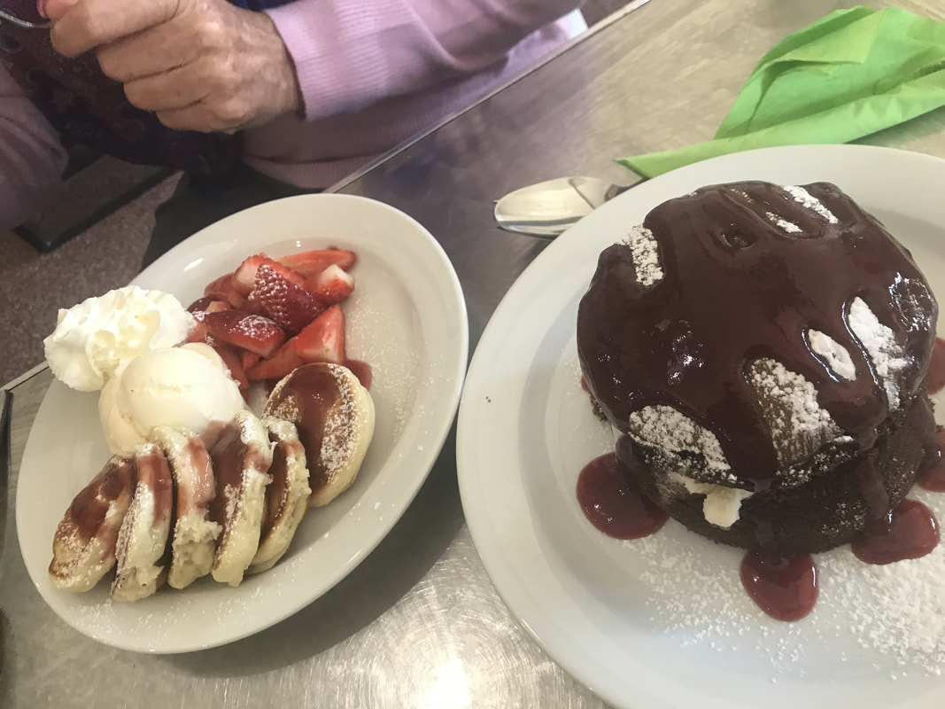 Poffertjes and an ice burger at The Bramble Patch. | 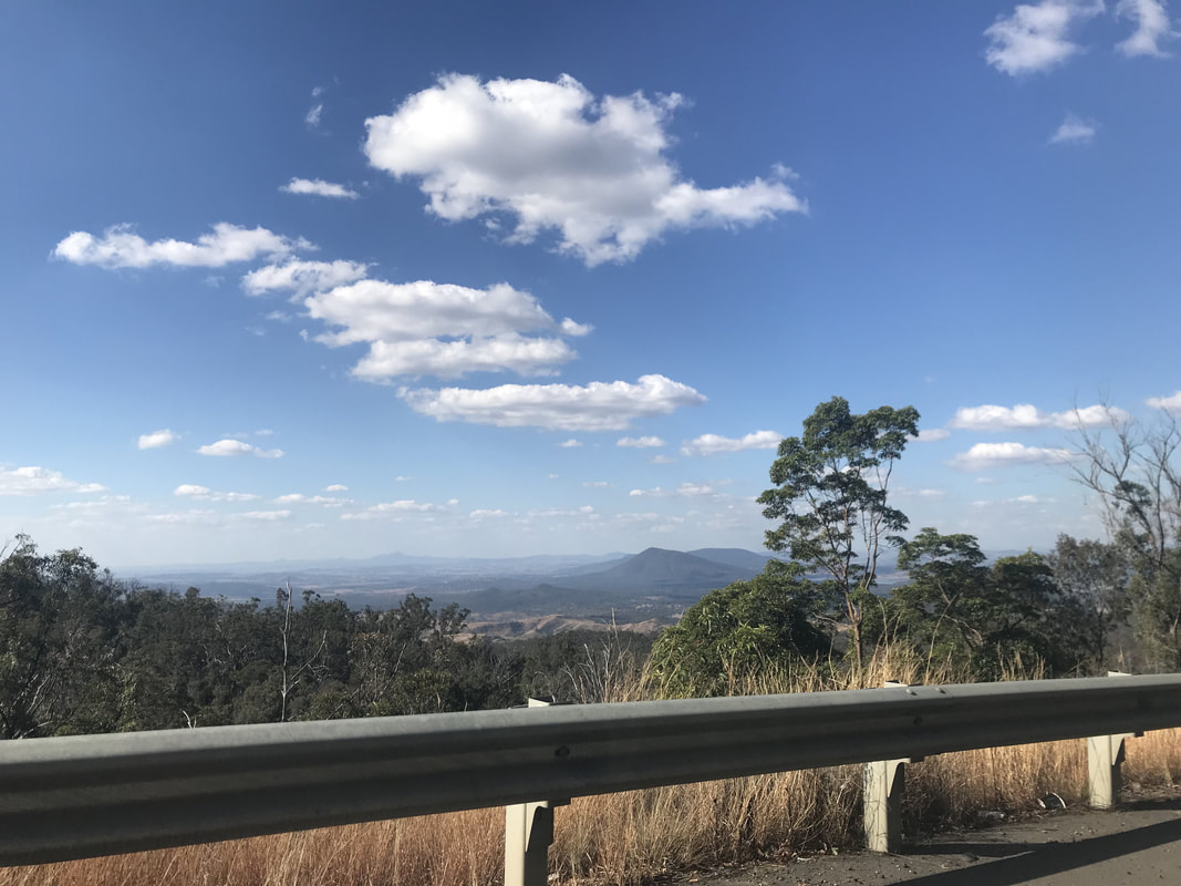 Descending the range - homeward bound. |
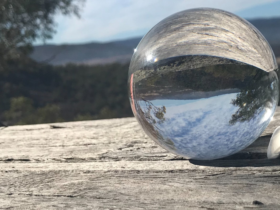
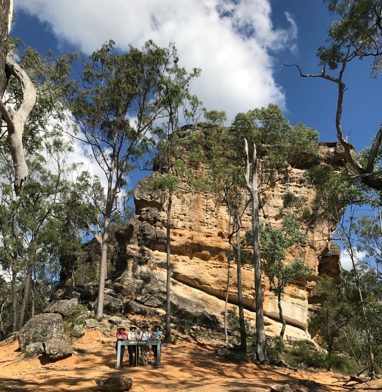
The crystal ball predicts many more happy hikes ahead.


 RSS Feed
